- Langholm (Dumfries and Galloway)
-
Langholm Koordinaten 55° 9′ N, 3° 0′ W55.150833333333-2.9994444444444Koordinaten: 55° 9′ N, 3° 0′ W 

Langholm Bevölkerung 2.311 (Zensus 2001) Verwaltung Post town LANGHOLM Postleitzahlenabschnitt DG13 Vorwahl 013873 Landesteil Scotland Unitary authority Dumfries and Galloway Britisches Parlament Dumfriesshire, Clydesdale and Tweeddale Schottisches Parlament Dumfriesshire 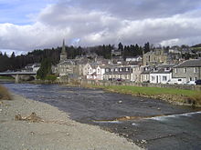 Langholm am Esk
Langholm (gälisch Langaim[1]) ist eine Stadt in der schottischen Unitary Authority Dumfries and Galloway. Sie ist etwa 48 km östlich von Dumfries und 27 km nördlich des englischen Carlisle am Esk gelegen. Im Jahre 2001 verzeichnete Langholm 2311 Einwohner.[2]
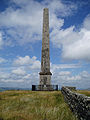
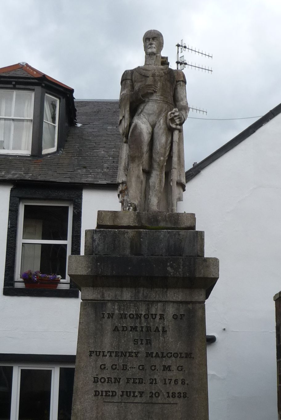
Im Jahre 1455 beendete Jakob II. die Dynastie der schwarzen Douglas durch einen Sieg bei Langholm. 1621 wurde die Stadt ein Burgh.[3] Unweit der Stadt liegen die Ruinen von Langholm Castle, eine Burg aus dem 16. Jahrhundert, von der lediglich ein Mauerrest erhalten ist.[4] Auf einem Hügel ist ein Obelisk zu Ehren John Malcolms aufgestellt. In der Stadt findet sich ein Monument zu Ehren von Pulteney Malcolm.[3] Mit Glentarras[5][6] und Langholm[7][8] war Langholm Standort zweier Whiskybrennereien. Beide wurden jedoch zu Beginn des 20. Jahrhunderts geschlossen.
-
Malcolm Monument in Langholm
-

Pulteney Malcolm Monument
-
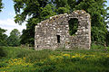
Ruine von Langholm Castle
Einzelnachweise
- ↑ Verzeichnis gälischer Ausdrücke
- ↑ Statistische Daten
- ↑ a b Eintrag im Gazetteer for Scotland
- ↑ Eintrag im Gazetteer for Scotland
- ↑ Eintrag zur Glentarras-Brennerei bei wormtub.com
- ↑ Eintrag zur Glentarras-Brennerei bei scotlandplaces.gov.uk
- ↑ Eintrag zur Langholm-Brennerei bei wormtub.com
- ↑ Eintrag zur Langholm-Brennerei bei scotlandplaces.gov.uk
Kategorie:- Ort in Dumfries and Galloway
-


Wikimedia Foundation.