- Laurencekirk
-
Laurencekirk Koordinaten 56° 50′ N, 2° 28′ W56.832777777778-2.4691666666667Koordinaten: 56° 50′ N, 2° 28′ W 

Laurencekirk Bevölkerung 1.808 (Zensus 2001) Verwaltung Post town LAURENCEKIRK Postleitzahlenabschnitt AB30 Vorwahl 01561 Landesteil Scotland Unitary authority Aberdeenshire Britisches Parlament West Aberdeenshire and Kincardine Schottisches Parlament Angus North and Mearns Laurencekirk, ist eine Ortschaft in der schottischen Unitary Authority Aberdeenshire. Sie liegt etwa 35 km südwestlich von Aberdeen und 45 km nordöstlich von Dundee etwa sieben Kilometer von der Nordseeküste entfernt.[1] Im Jahre 2001 verzeichnete Laurencekirk 1808 Einwohner[2]. Seit 1824 ist in Laurencekirk die Whiskybrennerei Fettercairn ansässig.[3] Mit Glencadam befindet sich eine weitere Destillerie im 15 km entfernten Brechin.[4]
Verkehr
Die A90, die Edinburgh mit Fraserburgh verbindet tangiert Laurencekirk im Süden und gewährleistet den Anschluss an das Fernstraßennetz. Laurencekirk besaß einen Bahnhof der jedoch 1967 aufgelassen wurde. Im Jahre 2009 wurde er für 3 Millionen £ renoviert und wiedereröffnet.[1] Er wird regelmäßig von der Edinburgh to Aberdeen Line bedient.
-
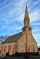
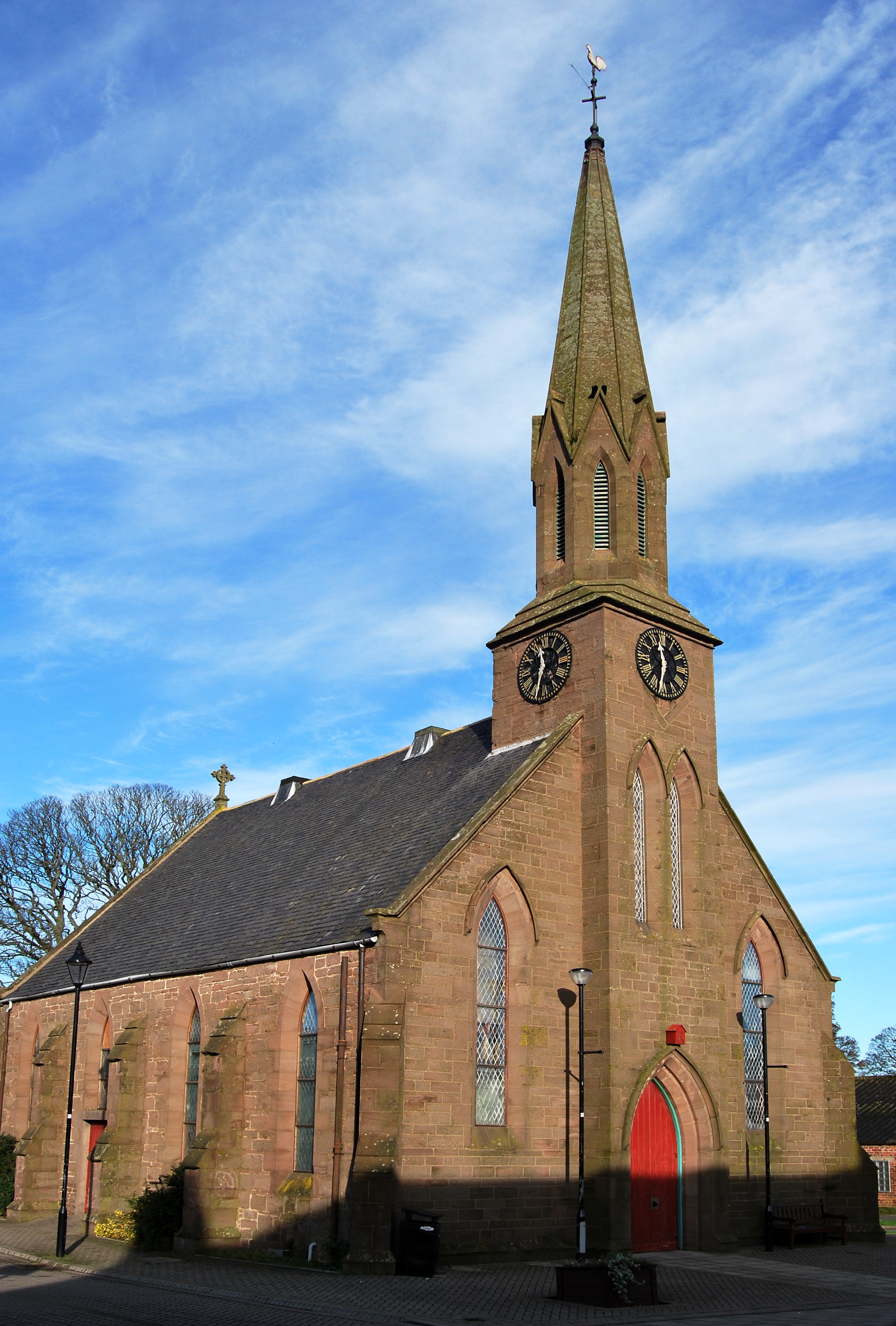
Kirche von Laurencekirk
-
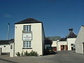
Gebäude der Fettercairn-Brennerei
-
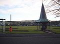
Park in Laurencekirk
Einzelnachweise
-


Wikimedia Foundation.