- Lavra (Portugal)
-
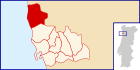
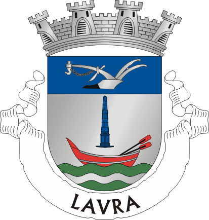
Lavra Wappen Karte 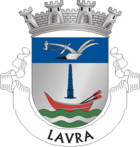
Basisdaten Region: Norte Unterregion: Grande Porto Distrikt: Porto Concelho: Matosinhos Koordinaten: 41° 16′ N, 8° 43′ W41.260348-8.716687Koordinaten: 41° 16′ N, 8° 43′ W Einwohner: 9.408 (Stand: 2001) Fläche: 10,3 km² Bevölkerungsdichte: 913 Einwohner pro km² Politik Adresse der Gemeindeverwaltung: Junta de Freguesia de Lavra
Rua Padre António Francisco Ramos
4455-058 LavraWebseite: www.jf-lavra.pt Lavra ist eine Gemeinde im Norden Portugals.
Lavra gehört zum Kreis Matosinhos im Distrikt Porto, besitzt eine Fläche von 10,3 km² und hat 9.408 Einwohner (Stand: 2001).[1] Der Ort wurde am 1. Juli 2003 zur Vila (dt: Kleinstadt) erhoben.
Söhne und Töchter der Stadt
- José Domingues dos Santos (1885–1958), Premierminister der Ersten Republik
Einzelnachweise
- ↑ Daten zu Lavra. alea.pt, abgerufen am 5. Juni 2011 (englisch).
Weblinks
- Karte der Freguesia Lavra beim Instituto Geográfico do Exército
- Information zu Lavra. cm-matosinhos.pt, abgerufen am 5. Juni 2011 (portugiesisch).

Custóias | Guifões | Lavra | Leça da Palmeira | Leça do Balio | Matosinhos | Perafita | Santa Cruz do Bispo | São Mamede de Infesta | Senhora da Hora

Wikimedia Foundation.