- Moel Hebog
-
Moel Hebog 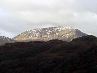
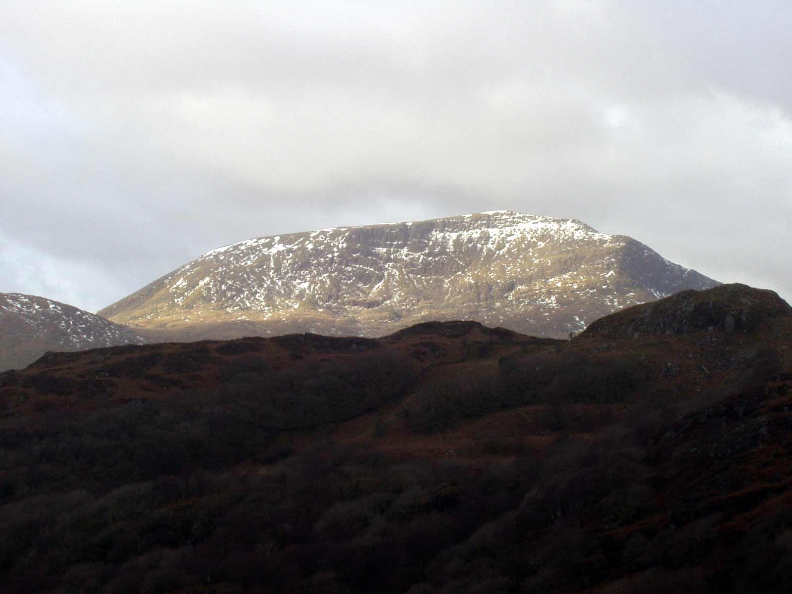
Blick von Süden auf den Moel Hebog
Höhe 782 m Lage Snowdonia, Wales Geographische Lage 53° 0′ 1″ N, 4° 8′ 23″ W53.00014-4.1398782Koordinaten: 53° 0′ 1″ N, 4° 8′ 23″ W 

Typ Gipfelgruppe Gestein rhyolithischer Tuff Der Moel Hebog ([ˈmɔil ˈhɛbɔɡ] walisisch für „kahler Berg des Falken“) ist ein Berg im Snowdonia-Nationalpark in Nord-Wales, County Gwynedd. Er liegt westlich von Beddgelert und östlich von Dolbenmaen. Moel Hebog ist genau genommen eine Gruppe von Berggipfeln im Nordwesten des Nationalparkes.
Wegen der ausgeprägten Gesteinsformationen des exponierten Hauptgipfels ist er ein beliebtes Ziel für Geologen und Bergsteiger. Das Gestein ist zumeist rhyolithischer Tuff (überwiegend aus Quarzfragmenten bestehender Tuff). Für Bergsteiger bietet sich besonders der Aufstieg von Beddgelert an, wobei einige andere Gipfel ebenfalls auf der Tour liegen. Der Blick vom Moel Hebog auf Snowdonia ist eines der beliebtesten Fotomotive.
Wichtigste Nebengipfel sind der Moel yr Ogof (655 m) und der Moel Lefn (638 m). Die ganze Gruppe umfasst insgesamt 12 Gipfel.
Bildergalerie
-
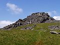
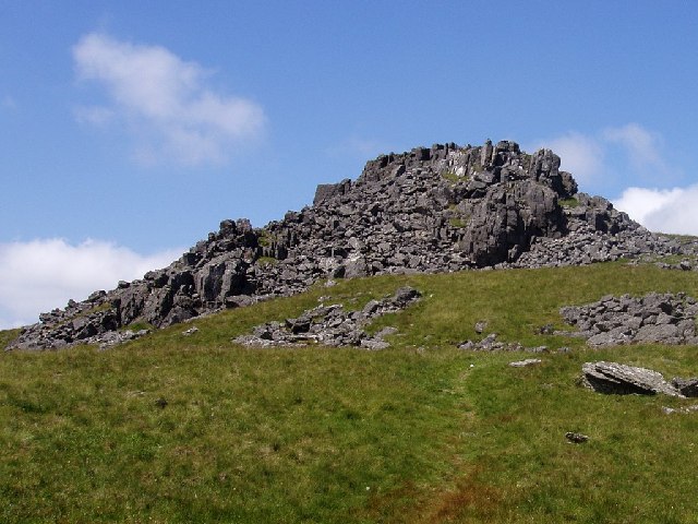
Moel yr Ogof
-
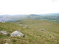
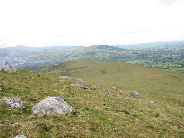
Sattel zwischen den Gipfeln
-

Moel Lefn
Weblinks
-


Wikimedia Foundation.