- Mona Vale
-
Mona Vale 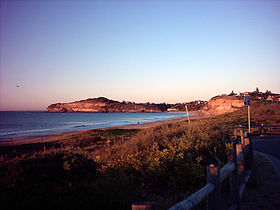
Strand von Mona ValeStaat:  Australien
Bundesstaat:  New South Wales
Koordinaten: 33° 41′ S, 151° 18′ O-33.683333333333151.3Koordinaten: 33° 41′ S, 151° 18′ O Einwohner: 9.537 (2006) [1] Zeitzone: AEST (UTC +10) Postleitzahl: 2103 LGA: Pittwater Council 

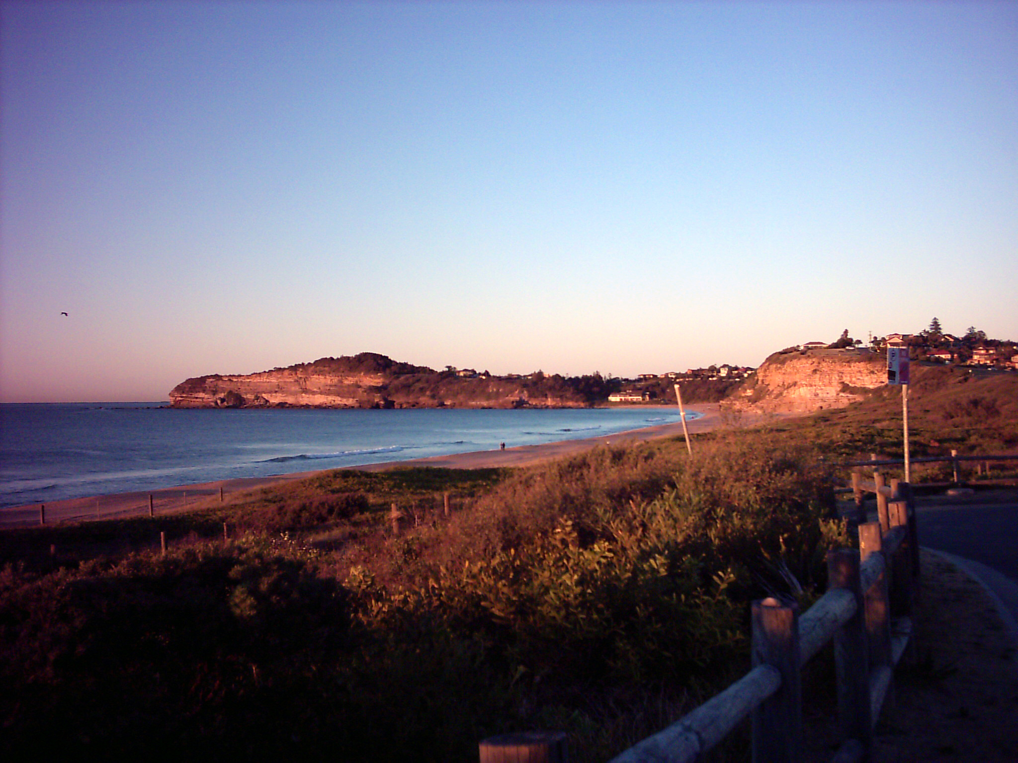
Mona Vale Mona Vale ist ein Vorort im Norden Sydneys in New South Wales, Australien. Mona Vale liegt 28 Kilometer nördlich des Stadtzentrums und ist seit 2005 der Verwaltungssitz des Verwaltungsgebietes (LGA) Pittwater Council.
Die Gegend war bei den Aborigines als Bongin Bongin bekannt. Das erste Land im Bezirk Pittwater wurde am 23. April 1813 zugeteilt. Das Gebiet, das heute Mona Vale umfasst, ging dabei an Robert Campbell (1769-1846).[2]
Weblinks
 Commons: Mona Vale – Sammlung von Bildern, Videos und Audiodateien
Einzelnachweise
- ↑ Australian Bureau of Statistics (25. Oktober 2007): Mona Vale (State Suburb) (Englisch). 2006 Census QuickStats. Abgerufen am 28. Dezember 2010.
- ↑ Pittwaters Vergangenheit - Mona Vale. Mona Vale Library, abgerufen am 28. Dezember 2010 (englisch).
Kategorie:- Stadtteil von Sydney

Wikimedia Foundation.