Motuopao Island

Motuopao Island

Vorlage:Infobox Insel/Wartung/Fläche fehlt

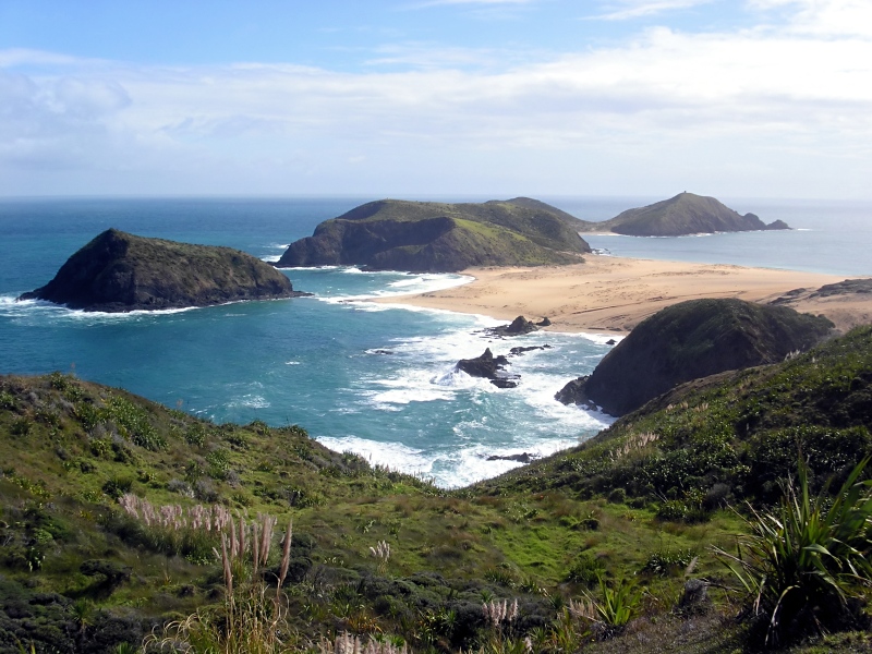
Motuopao Island
Taupiri Island (links), Cape Maria van Diemen (Mitte) und Motuapao Island (rechts)
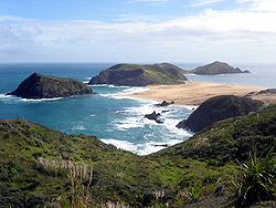
Gewässer Tasmansee
Geographische Lage 34° 28′ 13″ S, 172° 38′ 18″ O-34.4702549172.6382155110Koordinaten: 34° 28′ 13″ S, 172° 38′ 18″ O
Motuopao Island (Neuseeland)
Motuopao Island
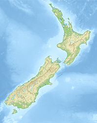
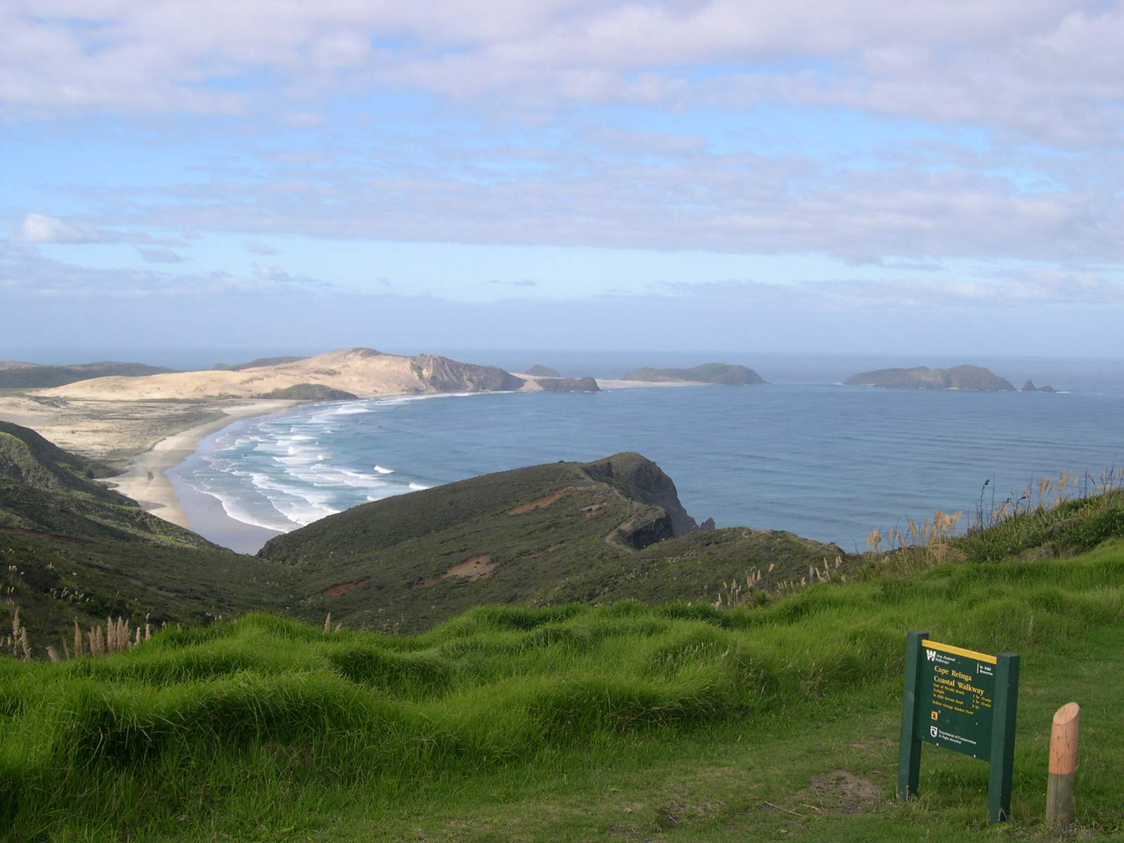
Länge 110 m
Breite 600 m
Höchste Erhebung 110 m
Einwohner (unbewohnt)
Blick von Cape Reinga über Te Werahi Beach auf Cape Maria von Diemen, Motuopao Island befindet sich ganz rechts

Motuopao Island ist eine Insel vor der Aupouri-Halbinsel in der Region Northland auf der Nordinsel Neuseelands. Sie befindet sich etwa 300 m nordwestlich des westlichsten Punkt des Festlands der Nordinsel, Cape Maria van Diemen. Die Insel ist etwa 1100m lang und 600m breit. Die Insel erreicht im Norden mit 110 m ihren höchsten Punkt, der auch Standort eines Leuchtturmes war.

Bis zum Jahr 1939 gab es auf Motuopao Island einen inzwischen aufgegebenen Leuchtturm, der vor allem bei starkem Seegang nur schwer zu erreichen war. 1941 war der neue Leuchtturm am Cape Reinga mit vielen Teilen des alten Leuchtturms fertiggestellt und nahm im Mai des gleichen Jahres den Betrieb auf.

Quellen


Wikimedia Foundation.

Игры ⚽ Нужно решить контрольную?

Schlagen Sie auch in anderen Wörterbüchern nach:

  • Cape Reinga Lighthouse — Infobox lighthouse|name= Cape Reinga Lighthouse [http://www.maritimenz.govt.nz/publications/lighthouses/capereinga.pdf Cape Reinga Lighthouse Profile] (from the Maritime New Zealand website)] location= Cape Reinga, North Island, New Zealand… …   Wikipedia

  • Cape Reinga — (Te Reinga or Te Rerenga Wairua in Māori) is the northwesternmost tip of the Aupouri Peninsula, at the northern end of the North Island of New Zealand. Cape Reinga is located over 100 km north of the nearest small town of Kaitaia. There is a road …   Wikipedia

  • Placostylus ambagiosus ambagiosus — Taxobox name = Placostylus ambagiosus ambagiosus image width = image caption = status = CR regnum = Animalia phylum = Mollusca classis = Gastropoda ordo = Pulmonata familia = Bulimulidae genus = Placostylus species = P. ambagiosus subspecies = P …   Wikipedia

  • Cape Maria van Diemen — 34.472316666667172.64061944444 Koordinaten: 34° 28′ 20″ S, 172° 38′ 26″ O …   Deutsch Wikipedia

  • Cape Reinga — Lage des Kaps Cape Reinga (deutsch Kap Reinga, Te Reo Māori Te Rerenga Wairua) bildet den nordwestlichsten Punkt der Aupouri Halbinsel und damit den nordwestlichsten Punkt der neuseeländischen Nordinsel. Das Kap befindet sich über 100 Kilometer… …   Deutsch Wikipedia

  • Placostylus ambagiosus hinemoa — Taxobox name = Placostylus ambagiosus hinemoa image caption = status = EX regnum = Animalia phylum = Mollusca classis = Gastropoda ordo = Pulmonata familia = Bulimulidae genus = Placostylus species = P. ambagiosus subspecies = P. ambagiosus… …   Wikipedia

Share the article and excerpts

Direct link
Do a right-click on the link above
and select “Copy Link”