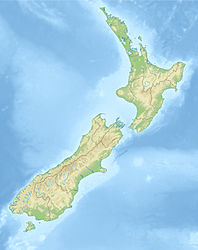
- Pananehe Island
-
Pananehe Island Gewässer Pazifischer Ozean Geographische Lage 34° 25′ 4,8″ S, 172° 50′ 56,1″ O-34.418172.84891944444Koordinaten: 34° 25′ 4,8″ S, 172° 50′ 56,1″ O Länge 170 m Breite 100 m Einwohner (unbewohnt) Pananehe Island ist eine Insel vor der Nordspitze Neuseelands. Administrativ liegt sie im Far North Distrikt der Region Northland auf der Nordinsel Neuseelands. Der Waitapu Stream mündet an der Küste 150 m östlich der Insel.
Die Insel liegt im Pazifik etwa 400 m südlich des Kaps Hooper Point am Ostende der Spirits Bay.
Quellen
Literatur
- New Zealand Travel Atlas, Wise Maps Auckland. ISBN 0-908794-47-9
Kategorien:- Unbewohnte Insel
- Insel (Neuseeland)
- Insel (Australien und Ozeanien)
- Insel (Pazifischer Ozean)
- Northland (Region)
Wikimedia Foundation.

