Pukepoto

Pukepoto

p1

Pukepoto
Pukepoto (Neuseeland)
Pukepoto
Koordinaten 35° 9′ S, 173° 13′ O-35.156944444444173.22333333333Koordinaten: 35° 9′ S, 173° 13′ O
Region Northland
Distrikt Far North Distrikt
Te Rarawa Marae in Pukepoto


Pukepoto ist eine Siedlung im Far North Distrikt in der Region Northland auf der Nordinsel Neuseelands. Sie liegt an der Verbindungsstraße zwischen Ahipara und Kaitaia etwa 5 km südwestlich des State Highway 1. Nächstgelegene Ansiedlungen sind Wainui Junction im Südwesten und Okahu im Nordosten. [1] Westlich von Pukepoto liegt in etwa 5 km Entfernung die Ahipara Bay der Tasmansee, südöstlich der teils als Northland Forest Park unter Schutz gestellte Wald Herekino Forest.

Bildung

Pukepoto hat zwei Grundschulen. Beide Schulen sind koedukativ.

Die Pukepoto School ist eine „contributing primary school“ für die Klassen 1-6 mit einem decile rating von 2 und 50 Schülern im Jahre 2009 .[2]

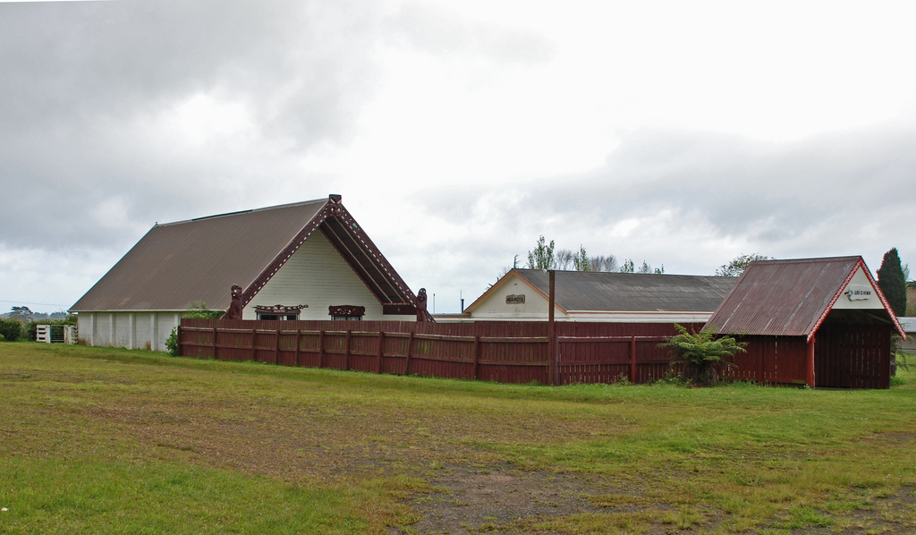
Die Te Kura Kaupapa Maori o Pukemiro ist eine „full primary school“ für die Klassen 1-8 mit einem decile rating von 1 und 76 Schüler im Jahre 2009.[3] Sie ist eine Kura Kaupapa Māori, in der vollständig in der Sprache Māori gelehrt wird.

Einzelnachweise

  1. [New Zealand Travel Atlas, Wise Maps Auckland. ISBN 0-908794-47-9]
  2. Te Kete Ipurangi - Pukepoto School. Ministry of Education. Abgerufen am 31. Januar 2011.
  3. Te Kete Ipurangi - Te Kura Kaupapa Maori o Pukemiro. Ministry of Education. Abgerufen am 31. Januar 2011.

Wikimedia Foundation.

Игры ⚽ Поможем сделать НИР

Schlagen Sie auch in anderen Wörterbüchern nach:

  • Pukepoto — Location map North Island label=Pukepoto lat dir=S | lat deg=35 | lat min=9 lon dir=E | lon deg=173 | lon min=13 position=right width= 150 float=right caption=Pukepoto is a town in Northland, New Zealand. It lies south west of Kaitaia and north… …   Wikipedia

  • Kaitaia — Kaitaia …   Wikipedia

  • Rotorua — Infobox Settlement name=Rotorua native name=Rotorua nui a Kahu (Maori) total type=Territorial mapsize=200px subdivision type=Country subdivision name=flag|New Zealand subdivision type1=Region subdivision name1=Bay of Plenty subdivision… …   Wikipedia

  • List of towns in New Zealand — This is a list of towns in New Zealand. The term town has no current statutory meaning in New Zealand, the few Town Districts having been abolished in 1989 or earlier. No particular size minimum has been adopted. Many would be called villages in… …   Wikipedia

  • Ahipara — Location map North Island label=Ahipara lat dir=S | lat deg=35 | lat min=10 lon dir=E | lon deg=173 | lon min=9 position=right width= 150 float=right caption=Ahipara is a town and locality in Northland, New Zealand. It is at the southern end of… …   Wikipedia

  • Ahipara — Ahipara …   Deutsch Wikipedia

Share the article and excerpts

Direct link
Do a right-click on the link above
and select “Copy Link”