- Punchbowl Crater
-
Punchbowl Crater 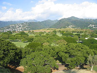
Blick vom Rand des Punchbowl Crater
Lage Insel Oahu, Hawaii Geographische Lage 21° 18′ 45″ N, 157° 50′ 46″ W21.3125-157.84611111111Koordinaten: 21° 18′ 45″ N, 157° 50′ 46″ W 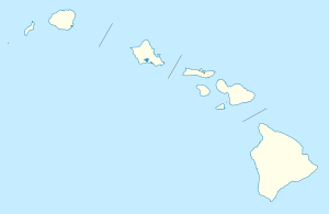

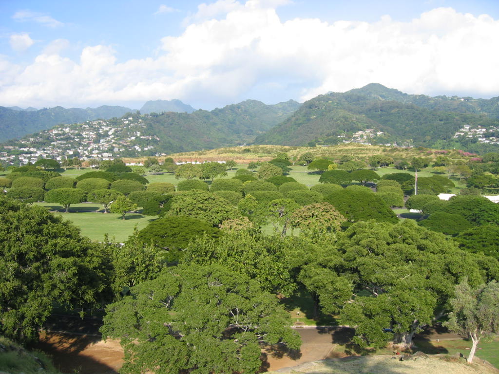
Typ Tuffring Der Punchbowl Crater ist ein erloschener Vulkan auf der Insel Oahu (Hawaii). Der hawaiische Name des Kraters Pūowaina bedeutet Hügel des Ablegens und bezieht sich auf Menschenopfer.[1]
Mit fast 7 Millionen Besuchern pro Jahr ist der Punchbowl Crater die meist besuchte Touristenattraktionen Hawaiis.
In dem erloschenen Krater oberhalb von Downtown Honolulu liegt das National Memorial of the Pacific - der größte Soldatenfriedhof Hawaiis, auf dem fast 37.000 amerikanische Soldaten ihre letzte Ruhe gefunden haben.
Einzelnachweise


Wikimedia Foundation.