- Stavrochori
-
Stavrochori
Σταυροχώρι

Basisdaten Staat: Griechenland Region: Kreta Regionalbezirk: Lasithi Gemeinde: Ierapetra Geographische Koordinaten: 35° 5′ N, 25° 56′ O35.07761111111125.941583333333Koordinaten: 35° 5′ N, 25° 56′ O Einwohner: 160 ([1]) LAU-1-Code-Nr.: 92050103 Stavrochori (griechisch Σταυροχώρι (n. sg.) teilweise auch gelistet als Stavrochorio, auf Deutsch etwa „Kreuzdorf“) ist ein Ort auf Kreta mit etwa 160 Einwohnern. Er gehört zum Gemeindebezirk Makrys Gialos der Gemeinde Ierapetra.
Inhaltsverzeichnis
Lage
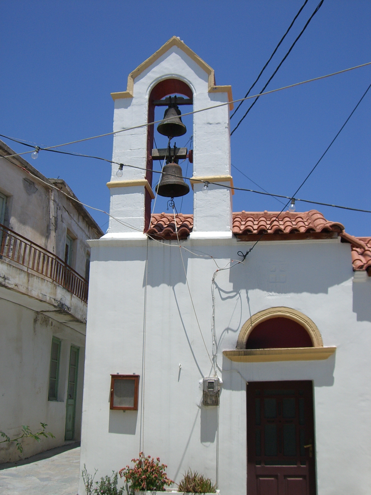
 Orthodoxe Kirche
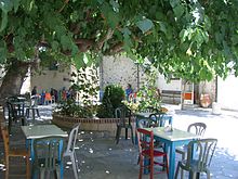 Kafenio
Stavrochori liegt in Ostkreta, etwa 6 km nördlich von Koutsouras an einer Verbindungsstraße von der Süd- zur Nordküste nach Sitia durch die Dikti-Berge. Zusammen mit Koutsouras sowie den Dörfern Lapithos (2 km nördlich) und Tsikkalaria (4 km südlich) bildet Stavrochori einen Gemeindebezirk mit 1.016 Einwohnern.
Infrastruktur
Der ursprünglich größere Ort weist zahlreiche verlassene Gebäude auf. Im Ort befinden sich noch zwei Tavernen und eine Kirche, etwas außerhalb eine kleine Kapelle. Die Versorgung der Bevölkerung wird durch fahrende Händler erledigt.
Weblinks
 Commons: Stavrochori – Sammlung von Bildern, Videos und Audiodateien
Einzelnachweise
Kategorien:- Ort in der Region Kreta
- Ierapetra


Wikimedia Foundation.