Wittenham Clumps

Wittenham Clumps
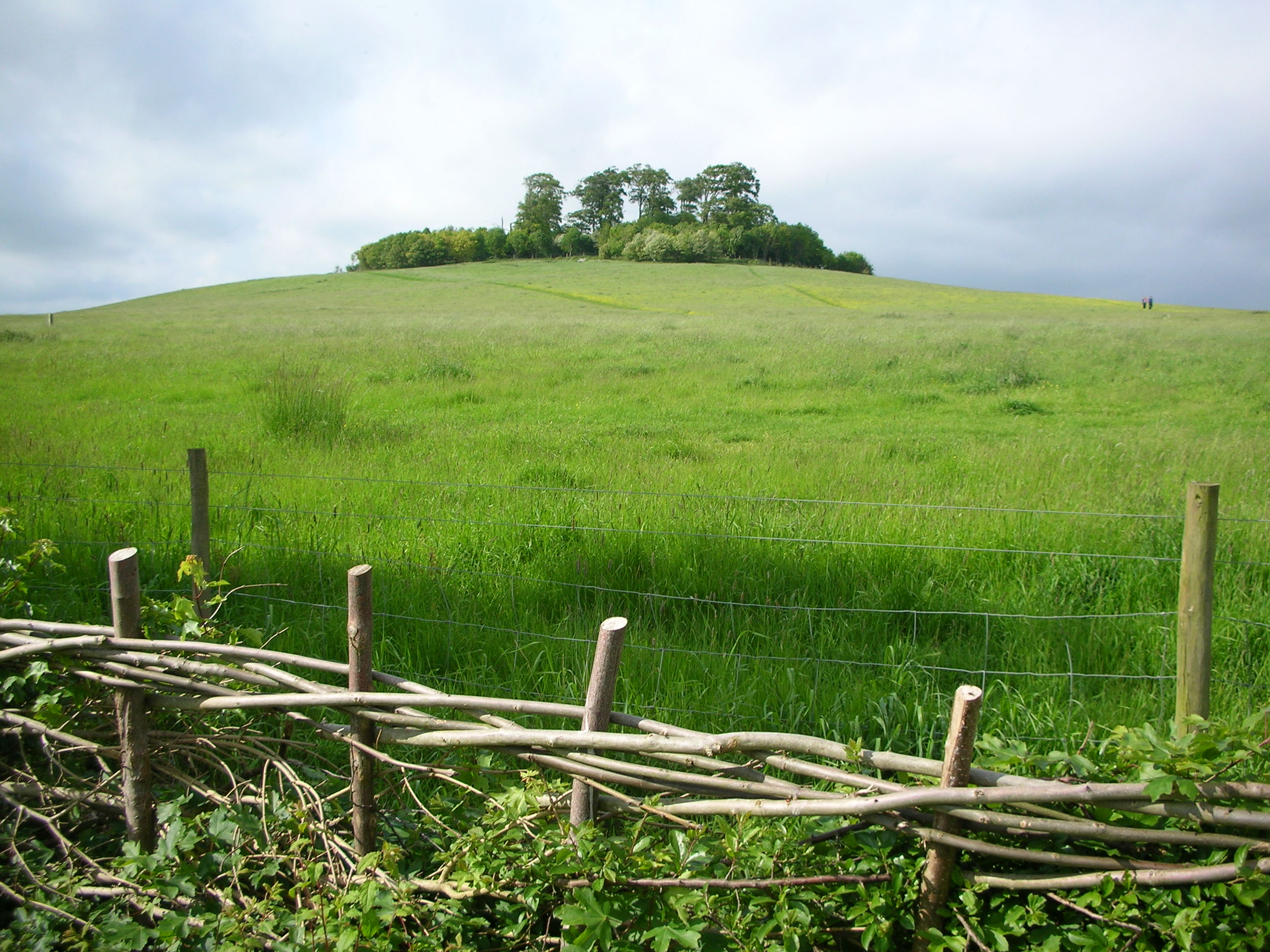
Round Hill, Wittenham Clumps

Die Wittenham Clumps sind eine Gruppe von Hügeln bei der Ortschaft 'Little Wittenham' nordöstlich von Didcot in Oxfordshire.

Der Name bezeichnet im engeren Sinne zwei Hügel, den sogenannten 'Castle Hill' und den 'Round Hill' . Die Hügel erheben sich aus dem flachen Tal der Themse. Archäologische Grabungen haben gezeigt, dass auf dem 'Castle Hill' in der Bronzezeit eine Befestigung angelegt wurde, die in der Eisenzeit ausgebaut wurde.[1]

Paul Nash hat die heute als Aussichtspunkt beliebten Hügel mehrfach gemalt.

Weblinks

 Commons: Wittenham Clumps – Sammlung von Bildern, Videos und Audiodateien

Einzelnachweise

  1. channel4 Time Team: Wittenham Clumps, 29. Februar 2004, abgerufen am 25. Januar 2011
51.62906-1.18137

Wikimedia Foundation.

Игры ⚽ Поможем сделать НИР

Schlagen Sie auch in anderen Wörterbüchern nach:

  • Wittenham Clumps — Wittenham Camp in 1939, photograph by Major George Allen (1891–1940) …   Wikipedia

  • Wittenham — is a place name in Oxfordshire, England, as in:* Little Wittenham * Little Wittenham Wood * Long Wittenham * Wittenham Clumps …   Wikipedia

  • Little Wittenham — infobox UK place country = England latitude= 51.637 longitude= 1.183 official name= Little Wittenham population= civil parish= Little Wittenham shire district= South Oxfordshire shire county = Oxfordshire region= South East England constituency… …   Wikipedia

  • Long Wittenham — infobox UK place country = England latitude= 51.637 longitude= 1.211 official name= Long Wittenham population= civil parish= Long Wittenham shire district= South Oxfordshire shire county = Oxfordshire region= South East England constituency… …   Wikipedia

  • Northmoor Trust — Round Hill at Wittenham Clumps. The Northmoor Trust was set up in 1969 by the British engineer Sir Martin Wood to promote environmental conservation through land management, education and land science. It is a registered charity under English law …   Wikipedia

  • Project Timescape — is Northmoor Trust s visitor and education centre near the Wittenham Clumps, Little Wittenham, Oxfordshire. Project Timescape s aim is to educate and engage people in their local landscape and inspire them to take action to protect it. Visitors… …   Wikipedia

  • Day's Lock — Day s Lock[1] Sculler waits to enter Day s Lock while a cruiser tries to come out sideways …   Wikipedia

  • Edmund Dunch — (or Dunche) (14 December 1657 Westminster ndash; 31 May 1719 Little Wittenham) was Master of the Royal Household to Queen Anne and a British Member of parliament (MP).He was an MP for Cricklade, Wiltshire (1701 ndash;1702 and 1705 ndash;1713),… …   Wikipedia

  • Chain Hill — Coordinates: 51°34′58″N 1°25′8″W / 51.58278°N 1.41889°W / …   Wikipedia

  • Dorchester, Oxfordshire — infobox UK place country = England latitude= 51.6435 longitude= 1.1657 official name= Dorchester on Thames population= civil parish= Dorchester shire district= South Oxfordshire shire county = Oxfordshire region= South East England constituency… …   Wikipedia

Share the article and excerpts

Direct link
Do a right-click on the link above
and select “Copy Link”