East Island

East Island

Vorlage:Infobox Insel/Wartung/Fläche fehltVorlage:Infobox Insel/Wartung/Höhe fehlt

East Island
Blick vom East Cape aufs offene Meer und East Island
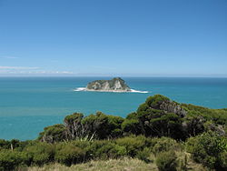
Gewässer Pazifischer Ozean
Geographische Lage 37° 41′ 28,65″ S, 178° 34′ 33,1″ O-37.691291666667178.57586111111Koordinaten: 37° 41′ 28,65″ S, 178° 34′ 33,1″ O
East Island (Neuseeland)
East Island
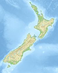
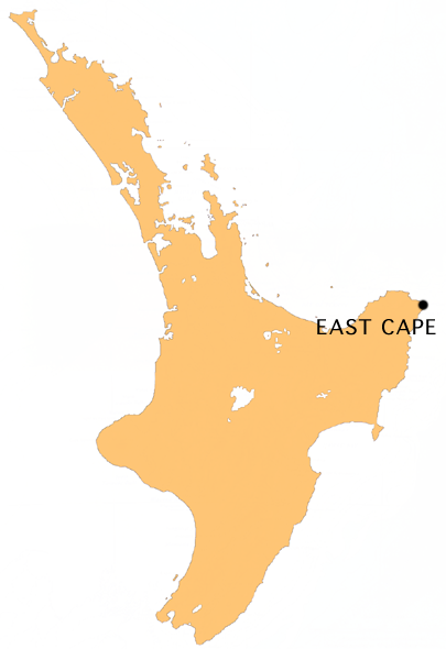
Einwohner (unbewohnt)
Lage in Neuseeland
Lage in Neuseeland

East Island oder Whangaokeno ist eine kleine Insel etwa zwei Kilometer östlich von East Cape vor der Nordinsel Neuseelands.

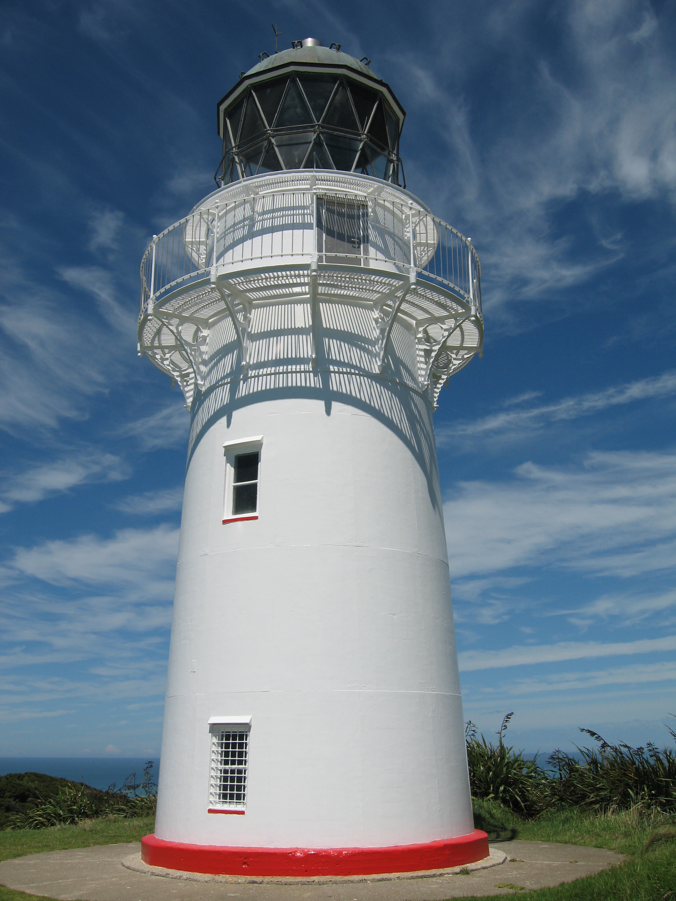
Sie war der ursprüngliche Standort des heute am East Cape stehenden Leuchtturmes. Dieser war 1900 auf der Insel gebaut worden. Sie erwies sich aber als erdbebengefährdet und die steilen Klippen verursachten zahlreiche Erdrutsche. 1920 entschied man sich daher, den Leuchtturm auf das Festland zu verlagern. 1922 wurde er demontiert und am East Cape wieder in Betrieb genommen.


Wikimedia Foundation.

Игры ⚽ Нужна курсовая?

Schlagen Sie auch in anderen Wörterbüchern nach:

  • East Island — can refer to:* East Island/Whangaokeno, New Zealand * East Falkland * East Island (Andaman Nicobar Islands) * East Island, Rhode Island * East Island (South Australia) * East Island (Tasmania) * East Island (Lacepede Islands), Western Australia * …   Wikipedia

  • East Island Lighthouse — may refer to: *East Island Lighthouse (India), located on East Island in the Andaman and Nicobar Islands territory of India; *East Island Lighthouse (Western Australia), located on East Island in the Lacepede Islands of north western Western… …   Wikipedia

  • East Island (Lacepede Islands) — East Island is an island within the Lacepede Islands group, which sits about 30 kilometres (20 mi) off the coast of the Dampier Peninsula in north west Western Australia. It is located at coord|16|54|S|122|11|E.Gazetteer of Australia | name =… …   Wikipedia

  • East Island Lighthouse (Western Australia) — East Island Lighthouse is a lighthouse located at 16º54 S 122º11 E,Gazetteer of Australia | name = East Island Lighthouse | id = 286916] on East Island in the Lacepede Islands off the north west coast of Western Australia. First commissioned in… …   Wikipedia

  • East Island (Mary Anne Group) — East Island is an island in the Mary Anne Group, located at 21º16 S 115º35 EGazetteer of Australia | name = East Island | id = 267410] off the north west coast of Western Australia.References …   Wikipedia

  • East Island (Tasmania) — East Island is a granite island, with an area of 12.42 ha, in south eastern Australia. It is part of Tasmania’s Hogan Group, lying in northern Bass Strait between the Furneaux Group and Wilsons Promontory in Victoria.FaunaRecorded breeding… …   Wikipedia

  • East Island, Falkland Islands — Infobox Falkland island MapCaption= latitude= 51.36667 longitude= 59.63333 coordinates= island group= english name=East Island spanish name=Isla del Este meaning of name= area= area rank= highest elevation= Population= population rank= main… …   Wikipedia

  • East Island (Ashmore and Cartier Islands) — | url = https://www.cia.gov/library/publications/the world factbook/geos/at.html | title = Ashmore and Cartier Islands | accessdate = 2007 11 12] the islet s gazetted name is, however, East Island .It has an area of around 25,000 square metres.… …   Wikipedia

  • South East Island — / Rangatira NASA Bild von South East Island Gewässer Südpazifik Ins …   Deutsch Wikipedia

  • North East Island — Blick über North East Island Richtung Westen auf den höchsten Punkt der Insel Gewässer …   Deutsch Wikipedia

Share the article and excerpts

Direct link
Do a right-click on the link above
and select “Copy Link”