Franklin Harbour Council

Franklin Harbour Council
District Council of Franklin Harbour
Australia-Map-SA-LGA-FranklinHarbour.png
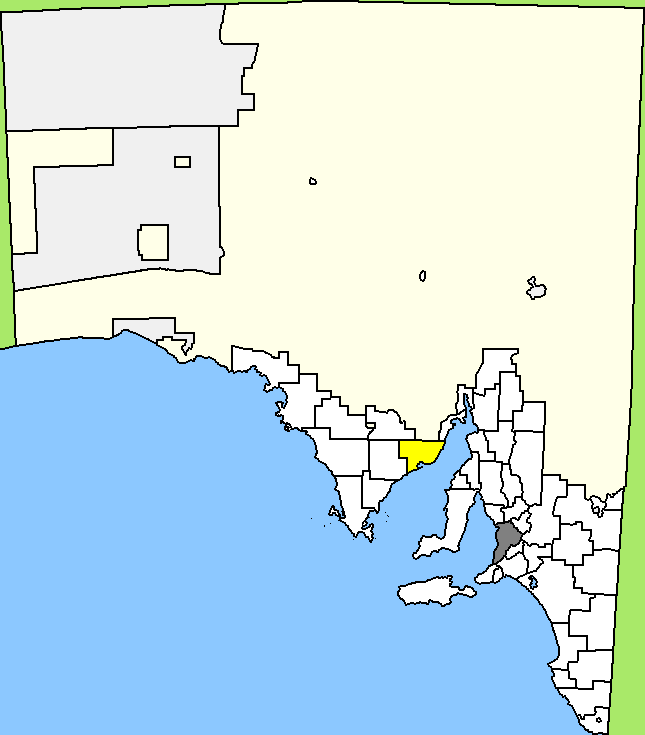
Lage des Franklin Harbour Council in South Australia
Gliederung
Staat: Australien Australien
Bundesstaat: Flag of South Australia.svg South Australia
Verwaltungssitz: Cowell
Daten und Zahlen
Fläche: 3.283 km²
Einwohner: 1.277 (2006) [1]
Bevölkerungsdichte: 0,4 Einwohner je km²
-33.683333333333136.93333333333

Der District Council of Franklin Harbour ist ein lokales Verwaltungsgebiet (LGA) im australischen Bundesstaat South Australia. Das Gebiet ist 3283 km² groß und hat etwa 1.300 Einwohner.

Franklin Harbour liegt im Nordwesten der Eyre-Halbinsel am Spencer-Golf etwa 210 km Luftlinie nordwestlich der Metropole Adelaide. Das Gebiet beinhaltet 26 Ortsteile und Ortschaften: Carpa, Charleston, Coolanie, Cowell, Elbow Hill, Franklin Harbour, Glynn, Hawker, Heggaton, James, Lucky Bay, Mangalo, McGregor, Midurnie, Miltalie, Miltalie North, Minbrie, Mitchellville, Mount Millar, Playford, Port Gibbon, Pondooma, Utera, Warren, Wilton und Yabmana. Der Verwaltungssitz des Councils befindet sich in der am Franklin Harbour gelegenen Küstenstadt Cowell.

Verwaltung

Der Council von Franklin Harbour hat sechs Mitglieder, die fünf Councillor und der Vorsitzende und Mayor (Bürgermeister) des Councils werden von den Bewohnern der LGA gewählt. Franklin Harbour ist nicht in Bezirke untergliedert.

Weblinks

Einzelnachweise

  1. Australian Bureau of Statistics (25. Oktober 2007): Franklin Harbour (DC) (Local Government Area) (Englisch). 2006 Census QuickStats. Abgerufen am 6. April 2010.

Wikimedia Foundation.

Игры ⚽ Нужно решить контрольную?

Schlagen Sie auch in anderen Wörterbüchern nach:

  • District Council of Franklin Harbour — South Australia Location of the District Council of Franklin Harbour Popul …   Wikipedia

  • Franklin District — FranklinFranklinPopulation58,932 (2006 Census)Land area2,187.94 km² (844.77 sq mi)ExtentPapakura to Meremere; Port Waikato to Miranda, Firth of Thames The Franklin District is a municipality to the south of Auckland in the North Island of New… …   Wikipedia

  • Franklin-Distrikt — Franklin District Council Karte Basisdaten Regionen …   Deutsch Wikipedia

  • Franklin Charles Gimson — Infobox Prime Minister name=Sir Franklin Gimson order=Governor of Singapore term start =1 April 1946 term end =15 November 1952 predecessor =Lord Mountbatten (Military Government) successor =John Fearns Nicoll birth date =birth… …   Wikipedia

  • Franklin's lost expedition — legend|blue|Disko Bay (5) to Beechey Island, in 1845.legend|purple|Around Cornwallis Island (1), in 1845.legend|red|Beechey Island down Peel Sound between Prince of Wales Island (2) and Somerset Island (3) and the Boothia Peninsula (4) to near… …   Wikipedia

  • District Council of Cleve — South Australia Location of the District Council of Cleve Population: 1,908( …   Wikipedia

  • District Council of Lower Eyre Peninsula — South Australia Location of the District Council of Lower Eyre Peninsula …   Wikipedia

  • District Council of Kimba — South Australia Location of the District Council of Kimba Population: 1,125( …   Wikipedia

  • District Council of Grant — South Australia Location of the District Council of Grant Population: 8,652( …   Wikipedia

  • Wakefield Regional Council — South Australia Location of Wakefield Regional Council Population …   Wikipedia

Share the article and excerpts

Direct link
Do a right-click on the link above
and select “Copy Link”