- Fremont Pass (Colorado)
-
Fremont Pass 
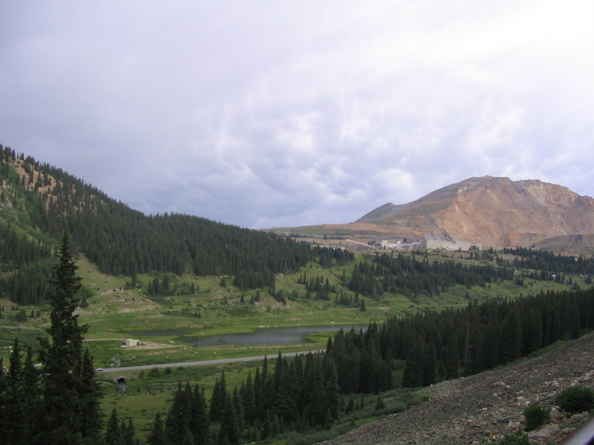
gesehen von Südwest, dahinter der Molybdän-Tagbau
Nord Süd Passhöhe 3.450 m US-Bundesstaat Colorado, USA Wasserscheide Blue River, Colorado River, Pazifik Quellflüsse des Arkansas Rivers, Mississippi, Atlantik Talorte Frisco Leadville Ausbau Colorado State Route 91 Gebirge Rocky Mountains Karte 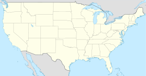

Fremont Pass Koordinaten 39° 21′ 59″ N, 106° 11′ 12″ W39.366388888889-106.186666666673450Koordinaten: 39° 21′ 59″ N, 106° 11′ 12″ W Der Fremont Pass ist ein Gebirgspass in den Rocky Mountains. Er liegt im Westen des US-Bundesstaates Colorado auf der Grenze der Countys Summit County und Lake County. Benannt wurde der Pass nach seinem Entdecker John Charles Fremont, der den Pass in den 1840er-Jahren fand.
Über den Pass führt die Kontinentale Wasserscheide.
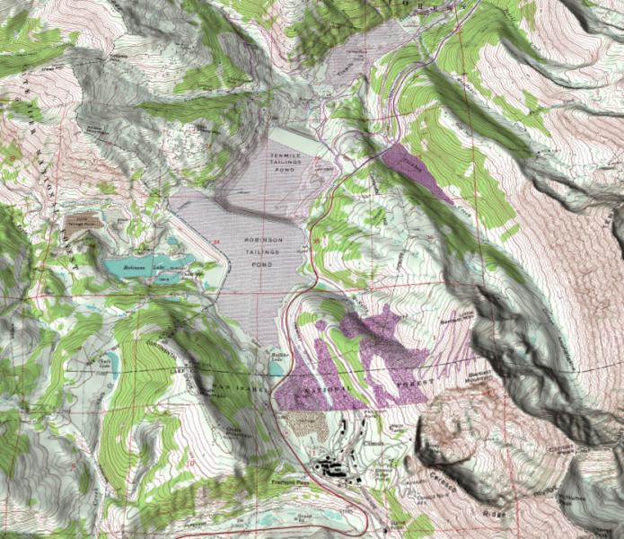
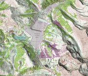 Reliefkarte des Passes und des Molybdän-Tagbaus. Der Pass liegt auf der roten Straße am unteren Rand der Karte.
Direkt nordöstlich der Passhöhe befindet sich ein großer Molybdän-Tagbau. Das Bergwerk ist seit 1995 stillgelegt, da der Abbau des Erzes bei den aktuellen Weltmarktpreisen nicht rentabel ist.
Weblinks

Wikimedia Foundation.