- Geyserville
-
Geyserville 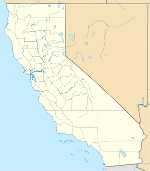

Geyserville Lage in KalifornienBasisdaten Staat: Vereinigte Staaten Bundesstaat: Kalifornien County: Koordinaten: 38° 42′ N, 122° 54′ W38.707777777778-122.902565Koordinaten: 38° 42′ N, 122° 54′ W Zeitzone: Pacific Standard Time (UTC−8) Einwohner: 2100 (Stand: ) Höhe: 65 m Postleitzahl: 95441 Vorwahl: +1 707 FIPS: 06-29420 GNIS-ID: 224138 Geyserville liegt 33 Kilometer nördlich von Santa Rosa im Sonoma County in den USA und wurde 1847 als Badeort am nahegelegenem Geysir gegründet.
Die Gemeinde erschloss die umliegenden heißen Quellen, was der Hauptgrund für den Wirtschaftsaufschwung des Ortes war. Das Pacific Gas Kraftwerk produziert jährlich bis zu 1,2 Mio. KWh.
Kategorien:- Ort in Kalifornien
- Sonoma County

Wikimedia Foundation.