Hantumeruitburen

Hantumeruitburen
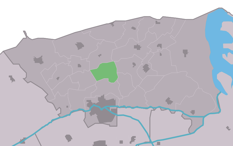
Die Lage von Hantumeruitburen in der Gemeinde Dongeradeel

Hantumeruitburen (friesisch: Hantumerútbuorren) ist ein kleines Dorf in der Gemeinde Dongeradeel in der niederländischen Provinz Friesland. Es befindet sich nördlich von Dokkum und hat 70 Einwohner (2008).

Bis Hantumeruitburen als Dorf anerkannt wurde, gab es dort weder eine Kirche noch eine Schule. Zusammen mit Hiaure, Hantum und Hantumhuizen wird Hantumeruitburen oft als die 4H bezeichnet, da die Dorfbewohner sich besonders verbunden fühlen.

Bevölkerungsentwicklung

Weblinks

53.3611111111116.0025

Wikimedia Foundation.

Игры ⚽ Поможем написать курсовую

Schlagen Sie auch in anderen Wörterbüchern nach:

  • Hantumeruitburen — 53° 21′ 40″ N 6° 00′ 09″ E / 53.3611, 6.0025 …   Wikipédia en Français

  • Hantumeruitburen — Infobox Settlement official name =Hantumeruitburen mapsize = 280px subdivision type = Country subdivision name = flagicon|Netherlands Netherlands subdivision type1 = Province subdivision name1 = flagicon|Friesland Friesland settlement type =… …   Wikipedia

  • Hantumerútbuorren — Hantumeruitburen Hantumeruitburen Vue de la localité sur la carte des Pays Bas Pays …   Wikipédia en Français

  • Dongeradeel — Héraldique …   Wikipédia en Français

  • Dongeradeel — Dongeradiel   Municipality   …   Wikipedia

  • List of places in the Netherlands — This is an alphabetical list of places (cities, towns, villages) in the Netherlands. Lists per province can be found at:* List of towns in Groningen * List of towns in Friesland * List of towns in Drente * List of towns in Overijssel * List of… …   Wikipedia

  • Dongeradeel — Gemeinde Dongeradeel Flagge Wappen Provinz Friesland Bürgermeiste …   Deutsch Wikipedia

  • Hiaure — Lage von Hiaure in der Gemeinde Dongeradeel Hiaure (friesisch: De Lytse Jouwer) ist ein kleines Dorf in der Gemeinde Dongeradeel in der niederländischen Provinz Friesland. Es befindet sich nordwestlich von Dokkum und hat 80 Einwohner (2008). Das… …   Deutsch Wikipedia

  • Aalsum — 53°20′18″N 6°0′16″E / 53.33833, 6.00444 …   Wikipédia en Français

  • Anjum — 53°22′29″N 6°7′38″E / 53.37472, 6.12722 …   Wikipédia en Français

Share the article and excerpts

Direct link
Do a right-click on the link above
and select “Copy Link”