Anare Mountains

Anare Mountains
-70.9163888888891661400
Anare Mountains (Antarktis)
Anare Mountains
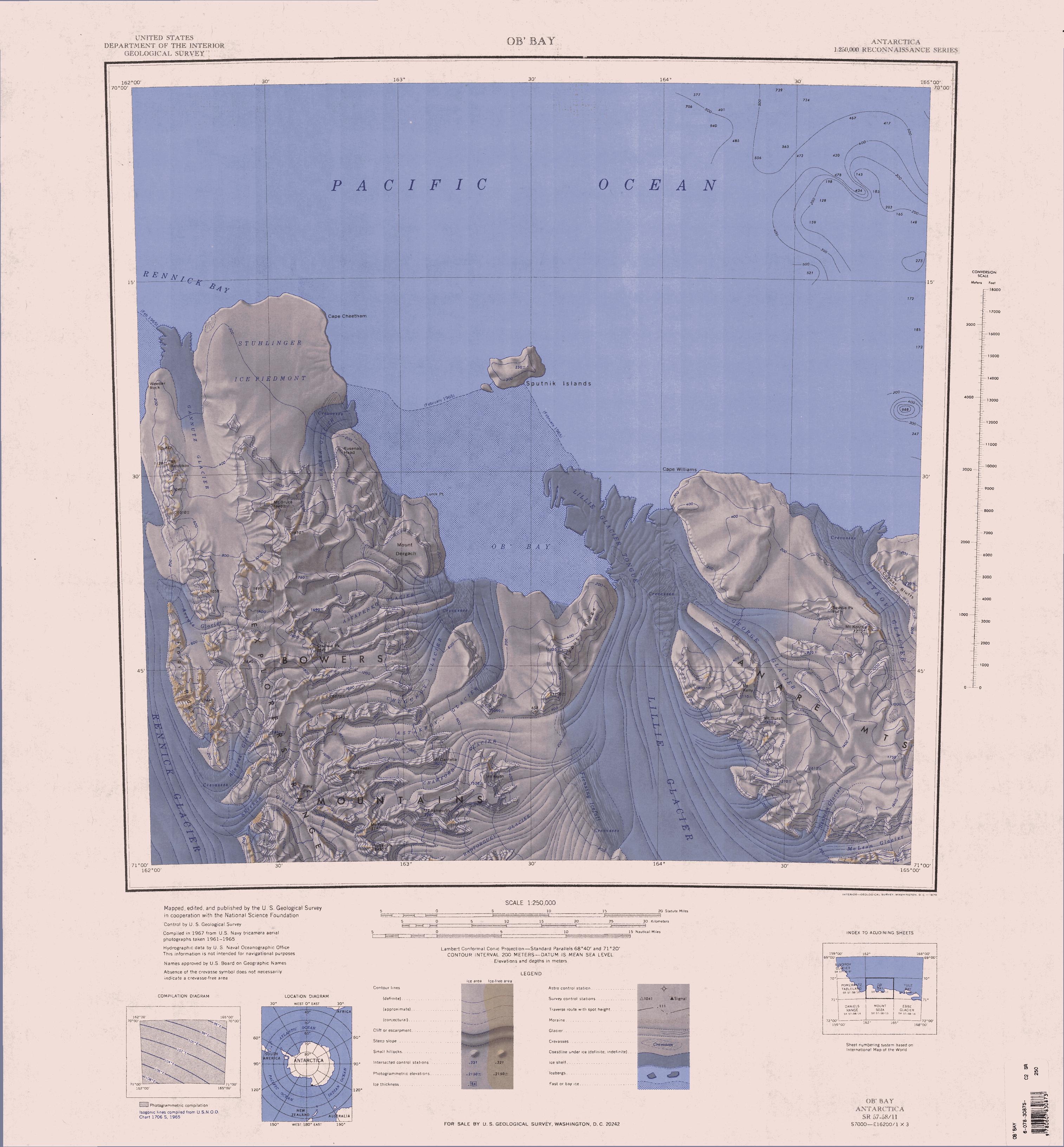
Anare Mountains
Antarktis
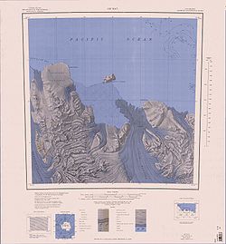
Ob' Bay mit Lillie-Gletscherzunge, Bowers- und Anare-Mountains

Die Anare Mountains sind eine Gebirgskette an der Nordküste von Viktorialand in der Antarktis.

Sie wird im Norden und Osten vom Pazifischen Ozean, im Westen von Lillie-Gletscher und im Süden vom Ebbe- und vom Dennistoun-Gletscher begrenzt. Die erste Entdeckung des Gebirges erfolgte durch James Clark Ross im Jahr 1841. Wichtige Berge in den Anare Mountains sind der Mount Kelly mit 1110 Metern und der Mount Burch mit 1400 Metern Höhe.

Die erste fotografische Erfassung des Gebirges erfolgte 1946/47 durch die Operation Highjump der US-Marine, eine weitere Erforschung und Vermessung durch das United States Geological Survey 1962/63 mit Hilfe von Hubschraubern. Benannt wurde das Gebirge 1963/64 nach einer der Australian National Antarctic Research Expeditions (ANARE), die 1962 unter der Leitung von Phillip Law stattfand und die Küste erforschte.


Wikimedia Foundation.

Игры ⚽ Поможем сделать НИР

Schlagen Sie auch in anderen Wörterbüchern nach:

  • Anare Mountains — The Anare Mountains (coord|70|55|S|166|00|E|type:mountain) is a large group of mainly snow covered peaks and ridges along the northern coast of Victoria Land, Antarctica. The group is bounded on the north and east by the Pacific Ocean, on the… …   Wikipedia

  • Prince Charles Mountains — …   Wikipedia

  • Scott Mountains (Antarctica) — For other uses, see Scott Mountains …   Wikipedia

  • Napier Mountains — Range Region Enderby Land, East Antarctica Highest p …   Wikipedia

  • Dismal Mountains — is a group of nunataks about 35 miles (56 km) southwest of Rayner Peak in Antarctica. They were photographed from ANARE (Australian National Antarctic Research Expeditions) aircraft in 1956, and surveyed by G.A. Knuckey during a dog sledge… …   Wikipedia

  • Mount McCarthy (Prince Charles Mountains) — Mount McCarthy is the easternmost peak (1,860 m) of the Porthos Range in the Prince Charles Mountains. First visited by ANARE (Australian National Antarctic Research Expeditions) southern party led by W.G. Bewsher in December 1956. Named by… …   Wikipedia

  • Nye Mountains — (68°10′S 49°0′E / 68.167°S 49°E / 68.167; 49) is a group of mountains, 30 nautical miles (60 km) long and 10 to 15 nautical miles (28 km) wide, which trend eastward from the head of Rayner Glacier …   Wikipedia

  • Grove Mountains — (coord|72|45|S|75|0|E|) is a large, scattered group of mountains and nunataks extending over an area of approximately 40 by 20 miles, located 100 miles east of Mawson Escarpment in Antarctica. They were first photographed from the air by aircraft …   Wikipedia

  • Tula Mountains — (coord|66|54|S|51|6|E|) is a group of extensive mountains lying immediately eastward of Amundsen Bay in Enderby Land, in Antarctica. They were discovered on January 14, 1930 by the British Australian New Zealand Antarctic Research Expedition… …   Wikipedia

  • Lazarev Mountains — (coord|69|32|S|157|20|E|) is a chain of mountains along the west side of Matusevich Glacier southward of Eld Peak, about 40 km (25 mi) long. Photographed from the air by Operation Highjump (1946 47), the Soviet Antarctic Expedition (1957 58) and… …   Wikipedia

Share the article and excerpts

Direct link
Do a right-click on the link above
and select “Copy Link”