King Island (Alaska)

King Island (Alaska)

Vorlage:Infobox Insel/Wartung/Fläche fehlt

King Island
King Island AK Jul 2006.jpg
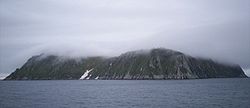
Gewässer Beringmeer
Geographische Lage 64° 58′ 0″ N, 168° 5′ 0″ W64.966666666667-168.08333333333200Koordinaten: 64° 58′ 0″ N, 168° 5′ 0″ W
King Island (Alaska)
King Island
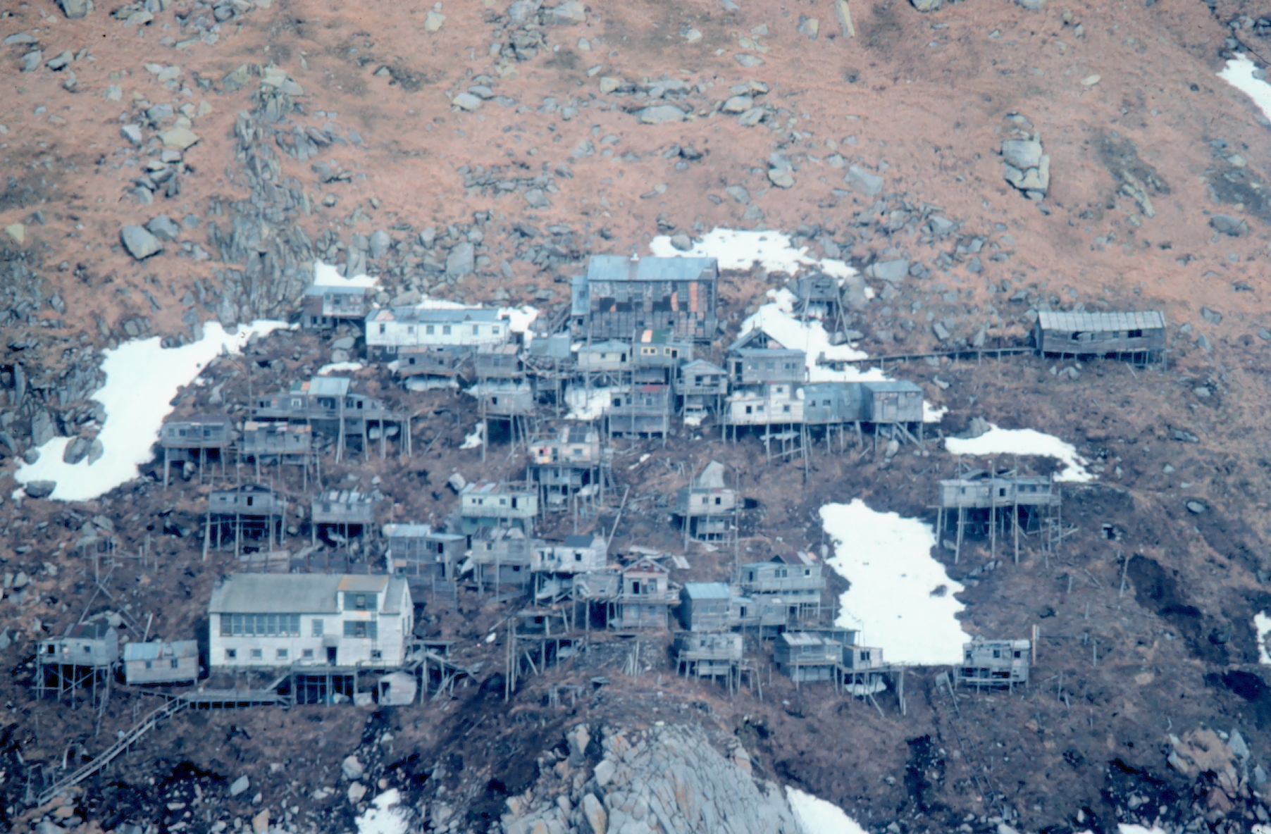
Länge 1,6 km
Höchste Erhebung 200 m
Einwohner (unbewohnt)
Hauptort (Ukivok)
Das verlassene Inupiat-Dorf Ukivok wurde auf Stelzen gebaut

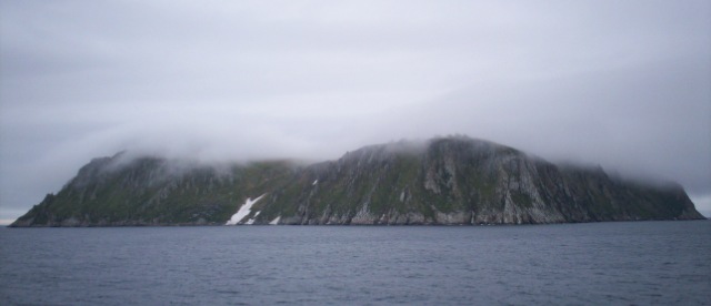
King Island (Inupiaq: Ugiuvak) ist eine Insel im Beringmeer westlich der Seward-Halbinsel von Alaska. Die Insel befindet sich etwa 64 km westlich von Cape Douglas. Sie besteht primär aus einem gut 200 m hohen und 1,6 km langen Fels.

Entdeckt wurde sie im Jahr 1778 von James Cook, der sie nach seinem Leutnant an Bord, Lt. James King, benannte.

Ursprünglich war King Island die Winter-Heimat von etwa 200 Inupiat, die sich selbst Aseuluk nannten. Die Aseuluk, deren Bezeichnung für King Island Ukiwuk ist, verbrachten ihre Winter auf der Insel mit Jagen. Im Sommer zog es sie ans Festland in das Gebiet des heutigen Nome, Alaska. Dort verkauften sie ihre im Winter erlegte Beute (insbesondere die Felle).

Mit Beginn der 1950er Jahre zogen mehr und mehr der Aseuluk ganzjährig nach Nome (1960 wohnten nur noch knapp 50 Aseuluk im Winter auf der Insel), ehe ab 1970 die gesamte Insel unbewohnt blieb. Die 45 Häuser, die katholische Kirche und das Schulgebäude des einzigen Dorfes verfallen seitdem.

Zur Fauna der Insel gehören unter anderem Schopfalke, eine mittelgroße Art aus der Familie der Alkenvögel.[1]

Weblinks

 Commons: King Island, Alaska – Sammlung von Bildern, Videos und Audiodateien

Einzelbelege

  1. Anthony J. Gaston und Ian L. Jones: The Auks. Oxford University Press, Oxford 1998, ISBN 0-19-854032-9, S. 245

Wikimedia Foundation.

Игры ⚽ Поможем решить контрольную работу

Schlagen Sie auch in anderen Wörterbüchern nach:

  • King Island, Alaska — King Island (Alaska) Pour les articles homonymes, voir Île King. Vue de King Island King Island est une île inhabitée située dans la …   Wikipédia en Français

  • King island alaska — King Island (Alaska) Pour les articles homonymes, voir Île King. Vue de King Island King Island est une île inhabitée située dans la …   Wikipédia en Français

  • King Island (Alaska) — Pour les articles homonymes, voir Île King. 64°58′00″N 168°05′00″O / …   Wikipédia en Français

  • King Island, Alaska — Location map Alaska label= lat=64.966667 long= 167.483333 position=right width=300 float=right caption=Location in AlaskaKing Island is an island in the Bering Sea, west of Alaska. It is about 64 km (40 miles) west of Cape Douglas and is south of …   Wikipedia

  • King Island — may refer to:Places *King Island, Alaska in the Bering Sea west of Alaska, United States *King Island (British Columbia), Canada *King Island (Saskatchewan), Canada (formerly known as Devil s Island). *King Island (Tasmania) off the coast of… …   Wikipedia

  • King Island — ist der Name mehrerer Inseln in den Vereinigten Staaten: King Island (Alaska) King Island (Illinois) King Island (Kalifornien) King Island (Aroostook County, Maine) King Island (Penobscot County, Maine) King Island (Montana) King Island (Forest… …   Deutsch Wikipedia

  • King Island Native Community — The King Island Native Community is recognized by the Bureau of Indian Affairs as a community of Alaska Natives.ee also* King Island, Alaska * List of Alaska Native Tribal Entities …   Wikipedia

  • Nelson Island (Alaska) — Nelson Native name: Qaluyaaq …   Wikipedia

  • Otter Island (Alaska) — Location in Alaska Otte …   Wikipedia

  • Coronation Island (Alaska) — Coronation Island is located off the northwest coast of Prince of Wales Island, south of Kuiu Island, and north of Noyes Island. The nearest full service community is Craig, Alaska. The island is also home to the Coronation Island Wilderness,… …   Wikipedia

Share the article and excerpts

Direct link
Do a right-click on the link above
and select “Copy Link”