Kneiff

Kneiff
Der Hügel Kneiff

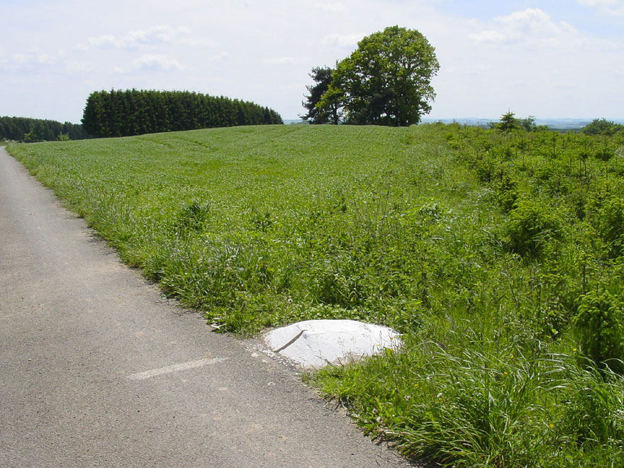
Der Hügel Kneiff stellt mit 560 m die höchste Erhebung von Luxemburg dar. Er liegt in der Gemeinde Troisvierges (dt.: Ulflingen) auf dem Gebiet der Ortschaft Wilwerdange (dt.: Wilwerdingen), im äußersten Norden des Großherzogtums nahe der Grenze zu Belgien und ist ein Teil der Ardennen, der Ösling genannt wird. Er ist Bestandteil des Naturpark Our.

Erst danach folgt mit 559 m der Burgplatz (lux:Buergplaz) bei Huldange (dt.: Huldingen), der oft fälschlicherweise als höchster Punkt bezeichnet wird, da der Kneiff mitten in einer Schonung liegt und im Gegensatz zum Burgplatz touristisch kaum erschlossen ist.

Weblinks

50.1573166666676.037560

Wikimedia Foundation.

Игры ⚽ Поможем решить контрольную работу

Schlagen Sie auch in anderen Wörterbüchern nach:

  • Kneiff — La cumbre del Kneiff …   Wikipedia Español

  • Kneiff — Le sommet de Kneiff. Géographie Altitude 560 m Massif Massif schisteux rhénan Coordonnées …   Wikipédia en Français

  • Kneiff — is a hill in the commune of Troisvierges, in northern Luxembourg. At 560 metres, it is the highest point in the country; it is 1 m taller than Buurgplaatz [ACT (Administration du Cadastre et de la Topographie) Regional Map R1 Clervaux Huldange… …   Wikipedia

  • Geographie du Luxembourg — Géographie du Luxembourg Géographie du Luxembourg Continent Europe Région Europe de l Ouest Coordonnées 49°45 N, 6°10 E Superficie …   Wikipédia en Français

  • Géographie Du Luxembourg — Continent Europe Région Europe de l Ouest Coordonnées 49°45 N, 6°10 E Superficie …   Wikipédia en Français

  • Géographie du Luxembourg — Continent Europe Région Europe de l Ouest Coordonnées 49°45 N, 6°10 E Superficie 167e rang mondial …   Wikipédia en Français

  • Géographie du luxembourg — Continent Europe Région Europe de l Ouest Coordonnées 49°45 N, 6°10 E Superficie …   Wikipédia en Français

  • Buurgplaatz — (alternate names: Buergplaatz, Burrigplatz, Burgplatz, Buergplaz zu Huldang) is a hill in the commune of Troisvierges, in northern Luxembourg. The 559 metre high summit lies within the Oesling region at coord|50|10|N|6|1|E|type:landmark… …   Wikipedia

  • List of the mosses of Britain and Ireland — This is a list of the mosses of Britain and Ireland:* Abietinella abietina Fir Tamarisk moss * Acaulon muticum Rounded Pygmy moss * Acaulon triquetrum Triangular Pygmy moss * Aloina aloides Common Aloe moss * Aloina ambigua Tall Aloe moss *… …   Wikipedia

  • Extreme points of Luxembourg — This is a list of the extreme points of Luxembourg, the points that are farther north, south, east or west, higher or lower than any other location on the territory of the state.Latitude and longitude*Northernmost point mdash; near Huldange… …   Wikipedia

Share the article and excerpts

Direct link
Do a right-click on the link above
and select “Copy Link”