- Antonito (Colorado)
-
Antonito 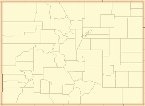

Antonito Lage in ColoradoBasisdaten Staat: Vereinigte Staaten Bundesstaat: Colorado County: Conejos County Koordinaten: 37° 5′ N, 106° 1′ W37.0775-106.00944444444Koordinaten: 37° 5′ N, 106° 1′ W Zeitzone: Mountain Standard Time (UTC−7) Einwohner: 873 (Stand: 2000) Bevölkerungsdichte: 873 Einwohner je km² Fläche: 1 km²
davon 1 km² LandHöhe: 2405 m Postleitzahl: 81120 Vorwahl: +1 719 FIPS: 08-02355 GNIS-ID: 190909 Antonito ist eine Kleinstadt in Conejos County im US-amerikanischen Bundesstaat Colorado. Die am 29. Dezember 1889 gegründete Stadt liegt auf 2405 Meter Höhe. Sie hatte im Jahr 2000 laut Statistikbehörde 873 Einwohner auf einer Fläche von einem Quadratkilometer.
Einst stießen in der Stadt die Schmalspurbahn nach Chama (New Mexiko) und eine Normalspurstrecke in Richtung Colorado Springs zusammen. Heute existiert nur noch erstere als Cumbres and Toltec Scenic Railroad. Die Stadt liegt am U.S. Highway 285 und an der Colorado State Route 17.
Wikimedia Foundation.