- Antonito
-
Antonito 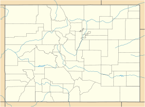

Antonito Lage in ColoradoBasisdaten Staat: Vereinigte Staaten Bundesstaat: Colorado County: Koordinaten: 37° 5′ N, 106° 1′ W37.0775-106.009444444442405Koordinaten: 37° 5′ N, 106° 1′ W Zeitzone: Mountain Standard Time (UTC−7) Einwohner: 873 (Stand: 2000) Bevölkerungsdichte: 873 Einwohner je km² Fläche: 1 km² (ca. 0 mi²)
davon 1 km² (ca. 0 mi²) LandHöhe: 2405 m Postleitzahl: 81120 Vorwahl: +1 719 FIPS: 08-02355 GNIS-ID: 190909 Antonito ist eine Kleinstadt in Conejos County im US-amerikanischen Bundesstaat Colorado. Die am 29. Dezember 1889 gegründete Stadt liegt auf 2405 Meter Höhe und zählte im Jahr 2000 laut Statistikbehörde 873 Einwohner auf einer Fläche von einem Quadratkilometer.
Die Stadt liegt an den Fernstraßen U.S. Highway 285 und Colorado State Route 17 und dient als Ausgangspunkt für sommerliche Bahnausflüge auf den Strecken der ehemaligen Denver and Rio Grande Western Railroad: die schmalspurige "Cumbres and Toltec Scenic Railroad" dampft bis zu 100km weit über Osier nach Chama (New Mexiko), die normalspurige San Luis and Rio Grande Railroad fährt unter dem Namen Rio Grande Scenic Railroad nach Alamosa, Monte Vista und La Veta.
Kategorie:- Ort in Colorado

Wikimedia Foundation.