- Morne Watt
-
Morne Watt 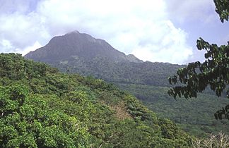
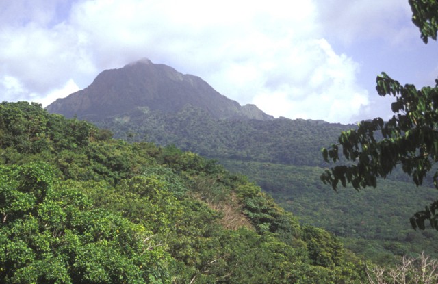
Der steil abfallende Morne Watt, hier von NW zu sehen, ist ein Lavadomkomplex umgeben von Ablagerungen pyroklastischer Ströme. Der 1224 m hohe Vulkan bildete sich südlich der Wotten Waven Caldera und ist flankiert vom Morne Anglais (4 km SW) und den 3 km östlich gelegenen Grand Soufrière Hills.
Höhe 1.224 m Lage Dominica Geographische Lage 15° 18′ 24″ N, 61° 18′ 18″ W15.306666666667-61.3051224Koordinaten: 15° 18′ 24″ N, 61° 18′ 18″ W 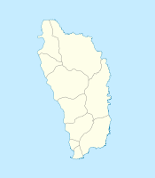

Typ Schichtvulkan Letzte Eruption 1997 Besonderheiten dritthöchster Berg Dominicas Der Morne Watt ist ein Vulkan im Südosten des Inselstaates Dominica. Mit einer Höhe von 1.224 m ist er der dritthöchste Berg des Landes.
Der Berg befindet sich südöstlich des Trois-Pitons-Gebiets östlich der Hauptstadt Roseau. An seiner Flanke liegen das Valley of Desolation und das Thermalgebiet des Boiling Lake.
Der letzte Ausbruch des Vulkans datiert vom Juli 1997.
Weblinks
- Morne Watt im Global Volcanism Program der Smithsonian Institution (englisch)
Kategorien:- Eintausender
- Schichtvulkan
- Berg in Nordamerika
- Berg in der Karibik
- Berg in Dominica

Wikimedia Foundation.