New Dorp (New York City)

New Dorp (New York City)
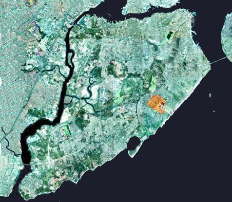
Lage von New Dorp auf Staten Island

New Dorp (Anglisierung von Nieuw dorp, Neuniederländisch für Neudorf) ist ein Stadtteil im Borough of Staten Island, einem Stadtbezirk von New York City, bzw. im Richmond County (vergleichbar einem Landkreis) des New York State in den Vereinigten Staaten von Amerika.

Ureinwohner

Wie auch der Rest von Staten Island wurde das Gebiet von New Dorp seit über 10.000 Jahren von den Ureinwohnern Amerikas besiedelt. Zur Zeit der Ankunft der ersten europäischen Aussiedler im 17. Jahrhundert war es von Angehörigen der Raritans und anderer Stämme der Lenni Lenape (auch Deleware genannt) bewohnt.

Europäische Siedler

Die erste belegte Niederlassung von Europäischen Siedlern erfolgte im Jahr 1671. Nachdem die Engländer die New Netherland colony übernommen hatte, erweiterten sie die niederländischen Siedlungen entlang der Südküste, genannt Oud dorp (altes Dorf), die bereits 10 Jahre zuvor entstanden waren.

Im späten 19. Jahrhundert wurde New Dorp Sitz der bekannten Vanderbilt Familie, von denen viele auf dem hiesigen Moravianischen Friedhof ihre letzte Ruhestätte fanden. Der Landsitz der Vanderbilts wurde später von der United States Army als Miller Air Field genutzt und wurde in den 1970er Jahren Teil der Gateway Recreational Area.

Heutige Situation

Heutzutage ist der Großteil der Bevölkerung Italo-Amerikanischer Abstammung, außerdem leben viele Einwohner Irischer und Polnischer Abstammung in diesem Stadtteil, die meisten von ihnen sind katholischen Glaubens.


Wikimedia Foundation.

Игры ⚽ Поможем написать курсовую

Schlagen Sie auch in anderen Wörterbüchern nach:

  • New York City Farm Colony — The New York City Farm Colony was a poorhouse on the New York City borough of Staten Island, one of the city s five boroughs. It was located across Brielle Avenue from Sea View Hospital, on the edge of the Staten Island Greenbelt …   Wikipedia

  • Neighborhoods in New York City — The five boroughs: 1: Manhattan, 2: Brooklyn, 3: Queens, 4: The Bronx, 5: Staten Island The Neighborhoods in New York City are located within The Five Boroughs of …   Wikipedia

  • Verwaltungsgliederung von New York City — Das Siegel von New York City Die Verwaltungsgliederung von New York City erfolgt auf zwei Ebenen: Die Stadt New York ist unterteilt in fünf Boroughs („Stadtbezirke“), die den Countys („Landkreisen“) des Bundesstaates New Y …   Deutsch Wikipedia

  • Administrative Gliederung von New York City — Die Verwaltungsgliederung von New York City erfolgt auf zwei Ebenen: Die Stadt New York ist unterteilt in fünf Boroughs („Stadtbez …   Deutsch Wikipedia

  • List of high schools in New York City — For all other high schools within the state of New York, excluding New York City (Bronx, Brooklyn, Manhattan, Queens, and Staten Island), see List of high schools in New York. This is a list of high schools in New York City. Contents 1 Bronx 2… …   Wikipedia

  • List of public elementary schools in New York City — This is a list of public elementary schools in New York City, which are typically referred to as PS number (e.g. PS 46 ). Many PS numbers are ambiguous, being used by more than one school. The sections correspond to New York City DOE Regions Some …   Wikipedia

  • Membership of the New York City Council — The list of New York City Council members below is current as of the 2006 2010 term. Eight new members joined the city council in the 2005 election. For notable past members of the Council, see Category:New York City Council members. Contents 1… …   Wikipedia

  • New York State Assembly — New York State Legislature Type Type …   Wikipedia

  • New York Harbor — Ein Werbefoto, das aber gut die wirkliche Bedeutung des Hafens heute zeigt: ein Containerschiff vor der Governors Insel …   Deutsch Wikipedia

  • National Register of Historic Places listings in Richmond County, New York — Location of Richmond County in New York …   Wikipedia

Share the article and excerpts

Direct link
Do a right-click on the link above
and select “Copy Link”