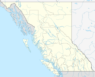
Nimpo Lake — This article is for the lake. For the community of the same name see Nimpo Lake, British Columbia. Nimpo Lake Location British Columbia Coordinates … Wikipedia
Nimpo Lake Water Aerodrome — IATA: none – ICAO: none – TC LID: CAF8 Summary Airport type Private Operator Wilderness Rim Resort Waterfront Resort Stewarts Lodge Twee … Wikipedia
Nimpo Lake, British Columbia — Nimpo Lake is an unincororporated community and of the Tsilhqot in people, located on the east shore of Nimpo Lake in the Chilcotin District of the Central Interior of British Columbia, Canada. It is located on BC Highway 20. Coordinates:… … Wikipedia
Anahim Lake Airport — is located convert|1|NM|abbr=on|lk=in south of Anahim Lake, British Columbia, Canada. It is a year round airport serving the West Chilcotin area, [ [http://www.bctravel.com/anahimlake/ Anahim Lake Tweedsmuir Provincial Park Highway 20 Williams… … Wikipedia
Anahim Lake, British Columbia — Anahim Lake is an isolated village in the Canadian province of British Columbia. The village and surrounding areas (including nearby Nimpo Lake) have a population of approximately 1500. The Ulkatcho First Nation has 729 living on nearby reserves … Wikipedia
Atnarko Lodge — (Nimpo Lake,Канада) Категория отеля: Адрес: 2129 Engadin Road, V0L 1R0 Nimpo Lake, Канада … Каталог отелей
British Columbia Highway 20 — Infobox road province=BC type=Hwy route=20 previous type=Hwy previous route=19A next type=Hwy next route=21Highway 20, also known as the Chilcotin Highway, and officially dubbed the Alexander MacKenzie Highway, is the main East West route in the… … Wikipedia
Liste der Seen in Kanada — Diese Liste enthält die 69 vom kanadischen Umweltministerium Natural Resources Canada als hauptsächliche Seen in Kanada bezeichneten Gewässer, die größer als 400 km² sind. Name Höhe Fläche Provinz Koordinaten Smallwood Reservoir 471 6527… … Deutsch Wikipedia
List of settlements in British Columbia — This is a list of communities in British Columbia, a province in Canada. For the purposes of this list, a community is defined as either an incorporated municipality (including Indian reserves), or an unincorporated settlement inside or outside… … Wikipedia
Chilcotin District — The Chilcotin District (pronounced /tʃɪlˈkoʊtɪn/) of British Columbia is usually known simply as the Chilcotin , and also in speech commonly as the Chilcotin Country or simply Chilcotin. It is a plateau and mountain region in British Columbia on… … Wikipedia

