- Popkum
-
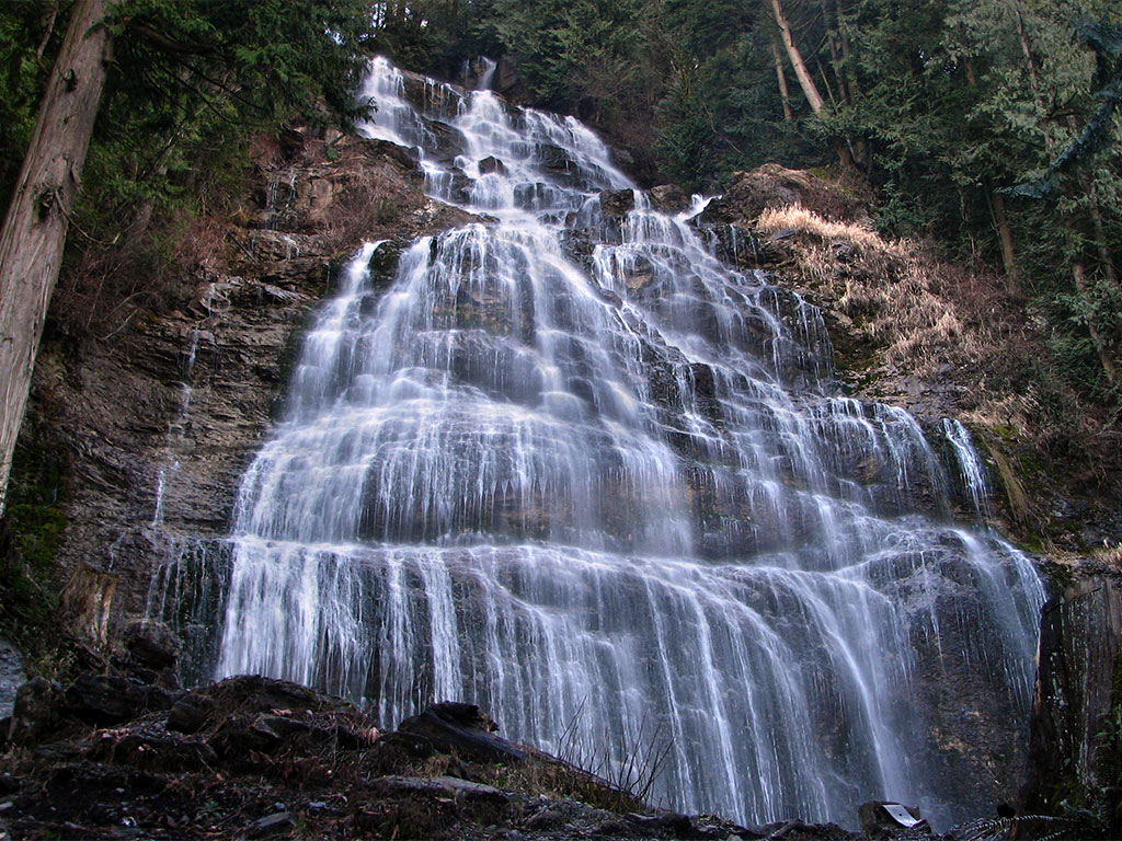
 Die Bridal-Veil-Fälle, in dessen Nähe einer der kleinsten Stämme Kanadas lebt (Bridal Veil Falls Provincial Park)
Die Popkum oder Popkum First Nation sind mit 8 anerkannten Mitgliedern[1] eine der kleinsten First Nations, wie die Indianer Kanadas genannt werden. Sie leben am unteren Fraser in British Columbia, rund 18 km nordöstlich von Chilliwack, 3 km nordöstlich von Bridal Veil Falls. Sie gehören kulturell zu den Küsten-Salish, sprachlich zu den Cowichan und sind einer der 24 staatlich anerkannten Stämme, die zu den Stó:lō gehören.
Inhaltsverzeichnis
Geschichte
Die Popkum erhielten vom Indian Land Commissioner Gilbert Malcolm Sproat am 16. Juni 1879 zwei Reservate zugesprochen,[2] die zusammen 149,7 ha umfassten, und am linken Ufer des Fraser lagen. Das ursprüngliche Reservat sollte für Hope, Ohamil, Peters, Skawahlook, Union Bar, Yale Bands of Indians und Popkum gemeinsam eingerichtet werden. Dazu gehörte auch Seabird Island, wobei 1958 das Committee of the Privy Council eine eigene Seabird Island Indian Band schuf.
1977 unterzeichneten 21 der 24 zu den Stó:lō zählenden Stämmen die Sto:lo Declaration, die die Grundlage für Vertragsverhandlungen mit Kanada und British Columbia darstellte. 1995 begannen Verhandlungen mit der Provinz um Landrechte, der sogenannte BC treaty process, aus dem sich allerdings vier Stämme zurückzogen.
2005 entstanden zwei getrennte Stammesräte (tribal councils), wobei sich elf Stämme, unter ihnen die Popkum, für einen Verbleib bei der Stó:lō Nation entschieden, während acht Stämme den Sto:lo Tribal Council gründeten. Von diesen elf setzten aber wiederum nur sieben die Verhandlungen mit der Regierung der Provinz fort. Die acht Stämme des Sto:lo Tribal Council nehmen gleichfalls nicht an den Verhandlungen teil. Insgesamt verhandeln also nur noch 7 der 24 Stó:lō-Stämme mit British Columbia, unter ihnen die Popkum.[3]
Häuptling (chief) ist seit 1984 James Murphy.
Literatur
- Douglas C. Harris: Indian Reserves Allotted for Fishing Purposes in British Columbia, 1849-1925, in: Ders.: Landing Native Fisheries: Indian Reserves and Fishing Rights in British Columbia, 1849-1925, Vancouver 2008
Siehe auch
- Geschichte der Küsten-Salish
- Geschichte British Columbias
- Geschichte der First Nations
- Liste der in Kanada anerkannten Indianerstämme
Anmerkungen
Kategorie:- First Nation in British Columbia
Wikimedia Foundation.