- Rangitata River
-
Rangitata River 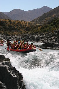
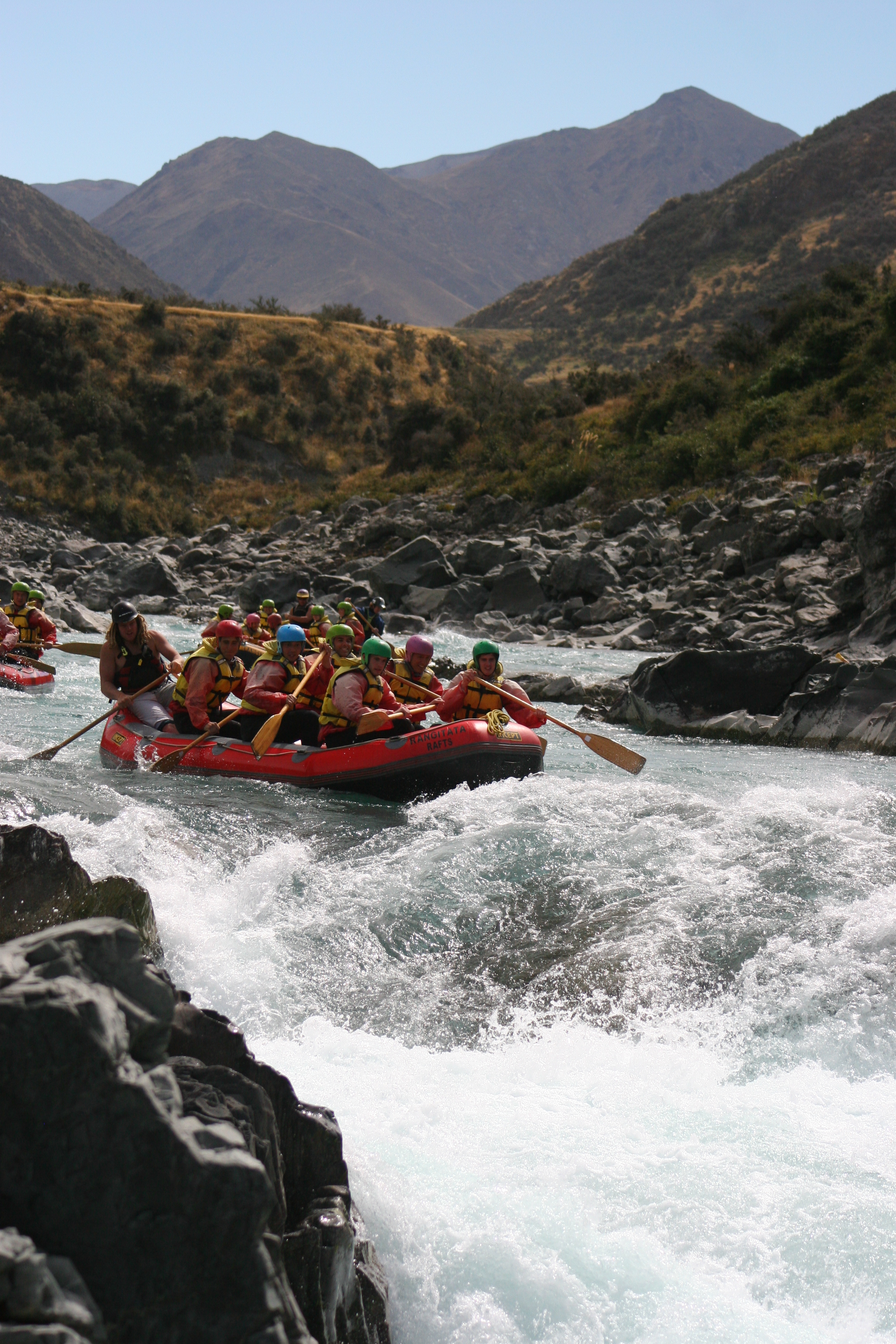
Rafting auf dem Rangitata River
Daten Lage Südinsel (Neuseeland) Quelle Neuseeländische Alpen Mündung 30 km nordöstlich von Timaru in den Pazifischen Ozean -44.189411171.5080770Koordinaten: 44° 11′ 22″ S, 171° 30′ 29″ O
44° 11′ 22″ S, 171° 30′ 29″ O-44.189411171.5080770Mündungshöhe 0 m Länge 120 km Der Rangitata River (englisch:Alford River) ist einer der verflochtenen Flüsse, die zur Bildung der Canterbury Plains im Süden Neuseelands beitrugen. Er hat seine Quelle in den Neuseeländischen Alpen, fließt etwa 120 km in südöstlicher Richtung und mündet dann 30 km nordöstlich von Timaru in den Pazifischen Ozean.
Der Fluss bildete das Rangitata Valley im Zentrum der Südalpen. Hier fanden auf und um den Mount Sunday die Filmaufnahmen zu Edoras aus dem Film Der Herr der Ringe: Die zwei Türme und Die Rückkehr des Königs statt.
Vor seiner Mündung spaltet sich der Fluss in zwei Arme, die eine große, langgestreckte Deltainsel einschließen. Rangitata Island wird von State Highway 1 und der Haupteisenbahnlinie der Südinsel, der Main South Line zwischen Ealing und Rangitata überquert.
Der Rangitata River ist bekannt für den Fang von Königslachs (Oncorhynchus tshawytscha).[1]
Am 23. Dezember 1999 beantragte Fish and Game New Zealand eine Water Conservation Order für den Fluss. Diese wurde im Juni 2006 in Kraft gesetzt.[2]
Quellen
- ↑ McDowall, R. M. (1990) New Zealand freshwater fishes: a natural history and guide. Heinemann-Reed, Auckland, S. 553
- ↑ Water Conservation Order des Rangitata River auf der Website des Neuseeländischen Umweltministeriums, 6. November 2007.
Kategorien:- Canterbury (Region)
- Fluss in Neuseeland
Wikimedia Foundation.