- Santiam River
-
Santiam River 
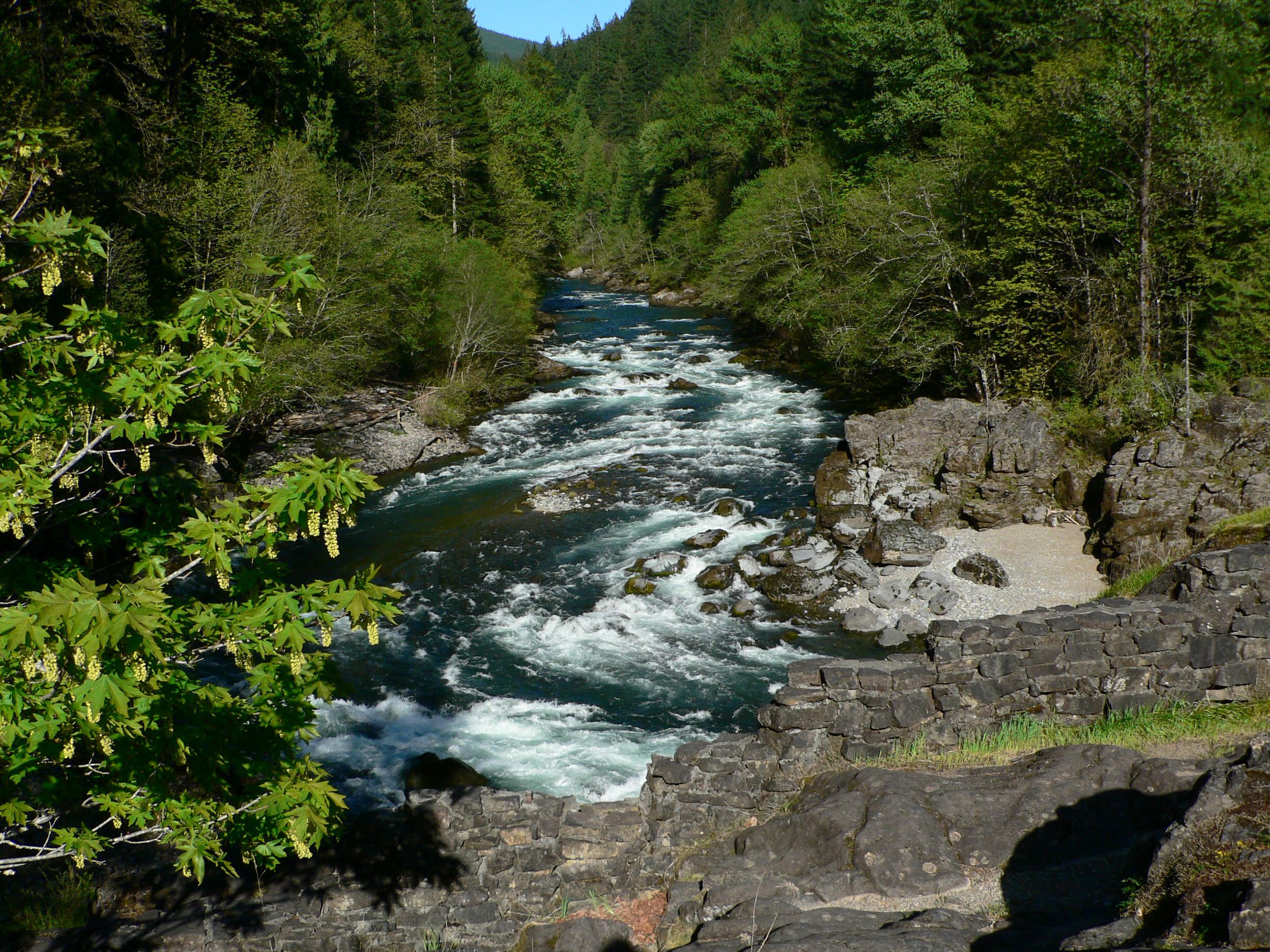
North Santiam River beim Niagara County Park
Daten Gewässerkennzahl US: 1163256 Lage Oregon (USA) Flusssystem Columbia River Abfluss über Willamette River → Columbia River → Pazifischer Ozean Ursprung Zusammenfluss von South und North Santiam River
44° 41′ 21″ N, 123° 0′ 27″ W44.6892886-123.007592668Quellhöhe 68 m Mündung in den Willamette River 44.754565-123.147596650Koordinaten: 44° 45′ 16″ N, 123° 8′ 51″ W
44° 45′ 16″ N, 123° 8′ 51″ W44.754565-123.147596650Mündungshöhe 50 m Höhenunterschied 18 m Länge 16 km Der Santiam River ist ein Nebenfluss des Willamette River mit einer Länge von 16 km in West-Oregon. Er hat zwei längere Quellflüsse: den South Santiam River und den North Santiam River. Der North Santiam River entsteht beim Detroit Lake und der South Santiam River im Forster Lake.
Weblinks
Kategorien:- Flusssystem Columbia River
- Fluss in Oregon
- Fluss in Nordamerika
Wikimedia Foundation.