- Babia Góra
-
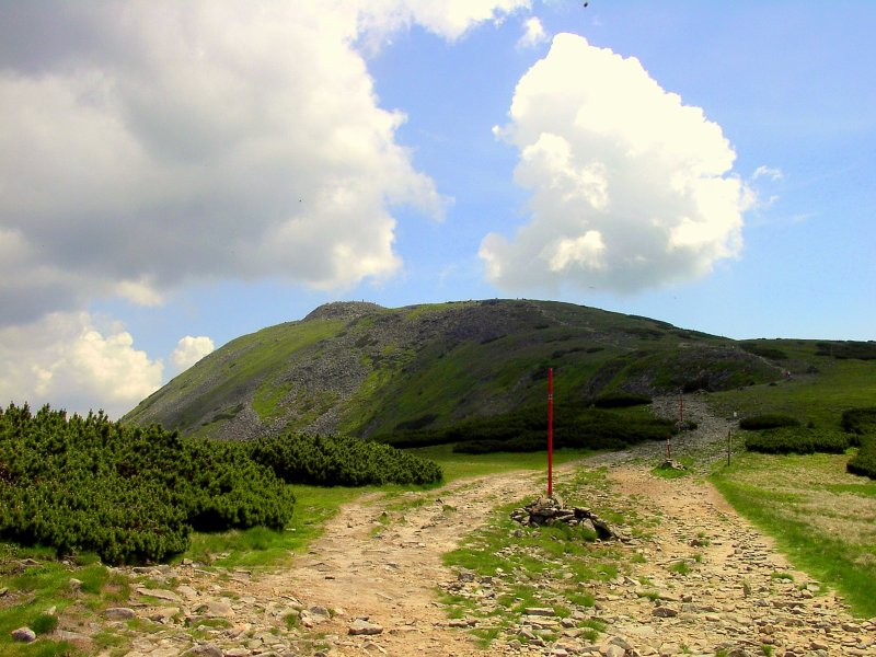
Babia Góra / Babia hora 
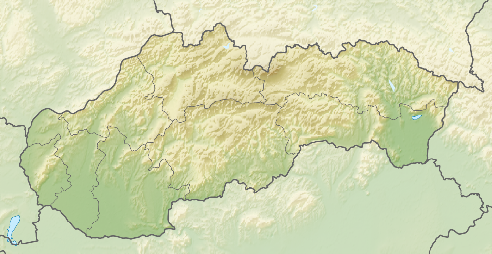
Höhe 1.725 m n.p.m. Lage Polen, Slowakei Gebirge Beskiden, Karpaten Geographische Lage 49° 34′ 24″ N, 19° 31′ 26″ O49.57333333333319.5238888888891725Koordinaten: 49° 34′ 24″ N, 19° 31′ 26″ O 

Erstbesteigung 1782 durch Jowin Fryderyk Bończa Bystrzycki Besonderheiten höchster Berg der Beskiden Babia Góra (polnisch) oder Babia hora (slowakisch), deutsch Teufelspitze, wörtlich übersetzt Hexen-Berg, oberschlesisch Babjo Gůra, ist ein Berg an der polnisch-slowakischen Grenze in den Beskiden. Mit einer Höhe von 1.725 m n.p.m. ist er der höchste Berg der Beskiden.
Lage
Auf slowakischer Seite des Berges liegt das Landschaftsschutzgebiet Horná Orava, sowie auf polnischer Seite der Nationalpark Babia Gora. Die Europäische Hauptwasserscheide, die die Wasserscheide zwischen dem Schwarzen Meer (Donau) und der Ostsee (Weichsel) bildet, verläuft über den Berg.
Weblinks
 Commons: Babia Góra – Sammlung von Bildern, Videos und AudiodateienKategorien:
- Eintausender
- Berg in den Beskiden
- Berg in Polen
- Berg in der Slowakei
- Berg in Europa
- Karpaten
- Geographie (Woiwodschaft Kleinpolen)
Wikimedia Foundation.