- Signal de Mailhebiau
-
Signal de Mailhebiau 
Nordostansicht
Höhe 1.469 m Lage Aubrac, Frankreich Gebirge Zentralmassiv Geographische Lage 44° 34′ 1″ N, 3° 4′ 56″ O44.5669444444443.08222222222221469Koordinaten: 44° 34′ 1″ N, 3° 4′ 56″ O 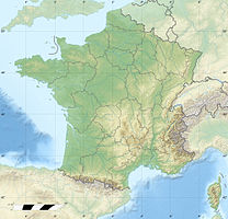

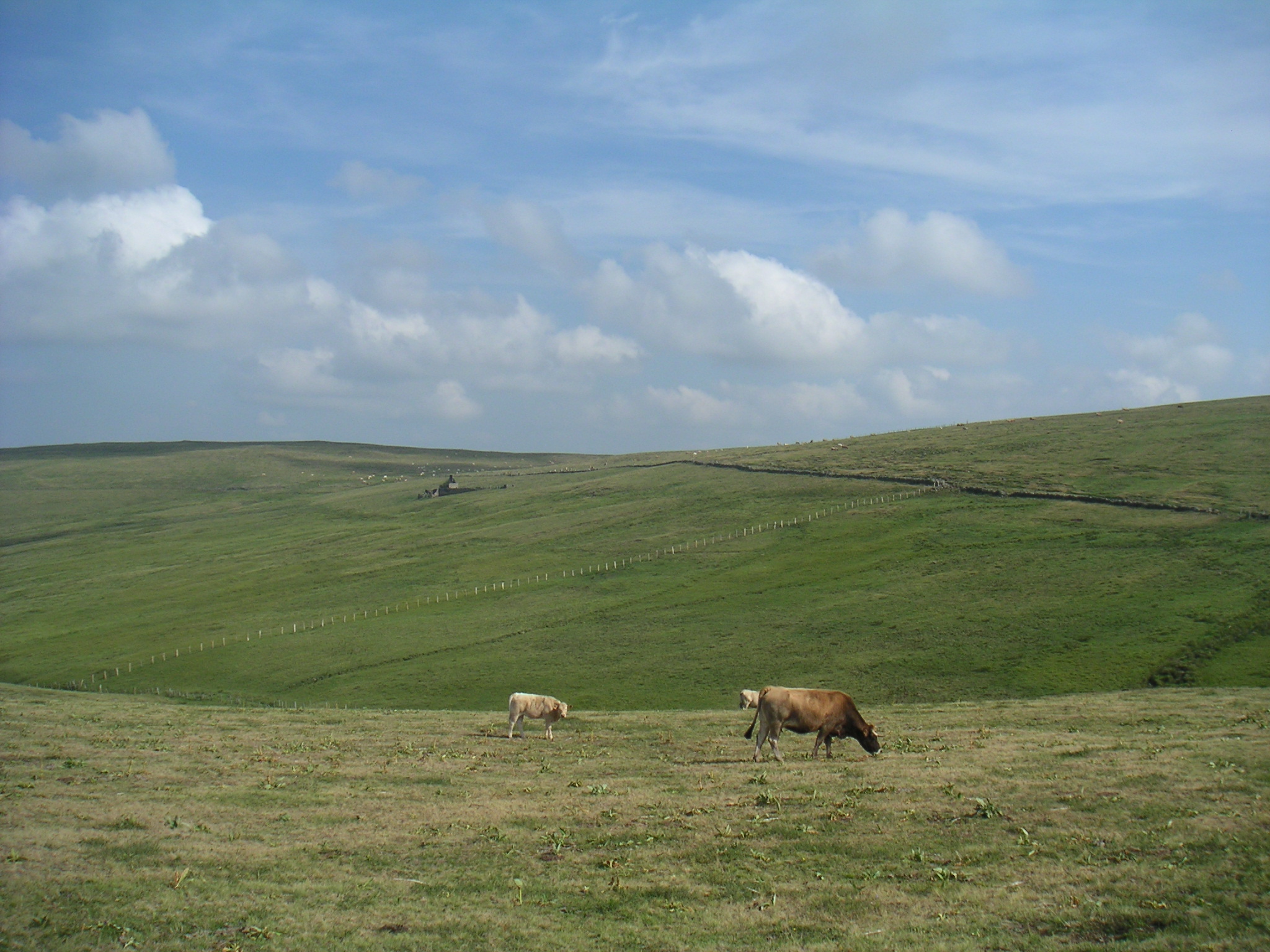
Der Signal de Mailhebiau ist der höchste Gipfel der französischen Landschaft Aubrac. Er liegt auf einer Höhe von 1.469 m auf dem Gebiet der Gemeinde Trélans. Der Höhenzug trennt die Départements Aveyron und Lozère. Hier entspringt der Fluss Bès.
Weblinks
- Infos zum Berg (französisch)
- Fotos und Infos zum Berg (französisch)
- Infos zum Berg (französisch)
Kategorien:- Eintausender
- Berg im Zentralmassiv
- Berg in Europa
- Berg in Frankreich
- Geographie (Midi-Pyrénées)
- Geographie (Languedoc-Roussillon)
- Département Aveyron
- Département Lozère

Wikimedia Foundation.