- South Kesteven
-
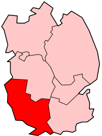
South Kesteven District 
Lage in LincolnshireStatus District Region East Midlands Verw.grafschaft Lincolnshire Verwaltungssitz Grantham Fläche 942,59 km² (31.) Einwohner 131.100 (146.) ONS-Code 32UG Website www.skdc.gov.uk South Kesteven ist ein District in der Grafschaft Lincolnshire in England. Verwaltungssitz ist die Stadt Grantham. Weitere bedeutende Orte sind Bourne, Castle Bytham, Colsterworth, Deeping St James, Folkingham, Long Bennington, Market Deeping und Stamford.
Der Bezirk wurde am 1. April 1974 gebildet und entstand aus der Fusion der Municipal Boroughs Grantham und Stamford, des Urban District Bourne sowie der Rural Districts South Kesteven und West Kesteven. Diese gehörten zuvor alle zu Kesteven, einer von 1889 bis 1974 bestehenden Verwaltungsgrafschaft.
Boston | East Lindsey | Lincoln | North Kesteven | South Holland | South Kesteven | West Lindsey
Wikimedia Foundation.