- Stanhope (Durham)
-
Wappen Karte keines vorhanden keine vorhanden Basisdaten Land Großbritannien Unitary Authority County Durham County Durham Fläche ? km² Einwohner 4519 Bevölkerungsdichte ? Europaregion Nordengland Höhe ü. M. ? m Postleitzahl DL12 Stanhope ist der Name einer Marktgemeinde im nordenglischen County Durham. Sie liegt am Fluss Wear im Weardale. Die A689 trifft hier auf die B6278 von Barnard Castle nach Shotley Bridge.
Die Gemeinde Stanhope selbst erstreckt sich über ein großes Areal und umfasst sowohl die Orte Rookhope, Westgate, St John's Chapel, Ireshopeburn, Wearhead, Cowshill, Cornriggs, Eastgate, Frosterley, alle an der A689 gelegen, als auch Crawleyside, Hill End und White Kirkley.
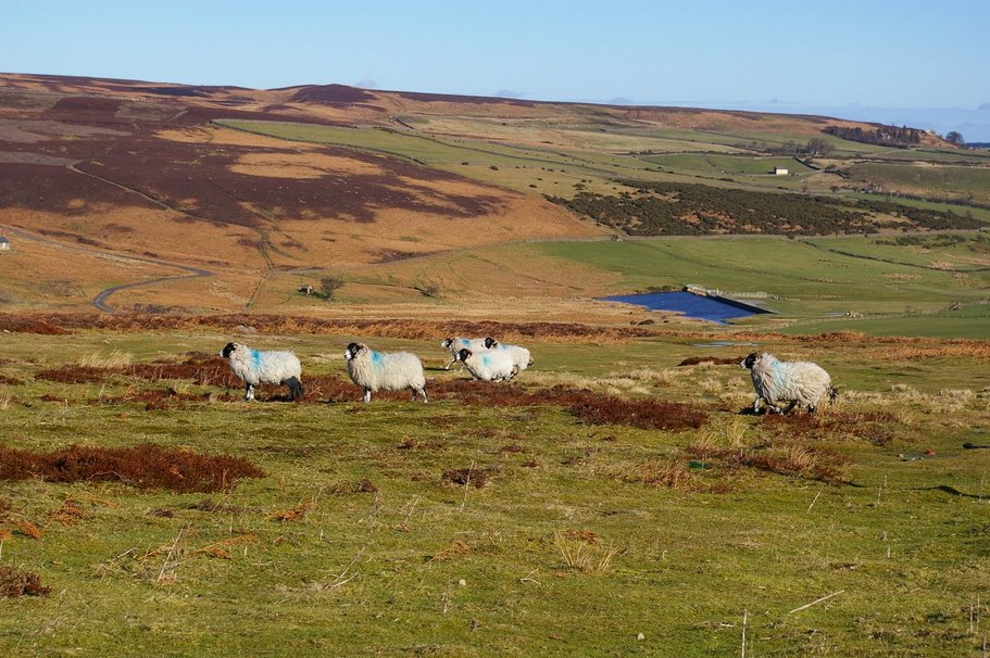
Die Gegend ist für Wanderer sehr interessant, da die Weideflächen für Schafe eine Heidelandschaft gebildet haben, die, von Bachläufen durchzogen, sehr reizvoll ist. Die Pennines, in denen Stanhope liegt, gelten als einer der reizvollsten Landschaften Englands.
Lage
Der Hauptort Stanhope liegt im Weardale zwischen Eastgate und Frorsterley. Nächste größere Gemeinden sind Newcastle upon Tyne, Bishop Auckland und Barnard Castle.
-
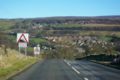
Ortsansicht Stanhope
-
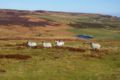
Heide bei Stanhope
-

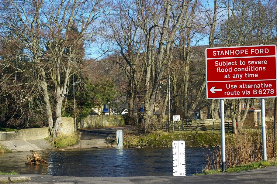
Furt in Stanhope
Sehenswürdigkeiten
- Stanhope: Stanhope Ford (Furt von Stanhope) durch den Fluss Wear, mit extra Trittsteinen für Fußgänger
- Stanhope: versteinerter Baumstumpf im Hof der Kirche
- Stanhope: Durham Dales Center mit Teestube
Weblinks
54.748333333333-2.0088888888889Koordinaten: 54° 45′ N, 2° 1′ W -

Wikimedia Foundation.