- Staplehurst (Kent)
-

Maidstone Lage von MaidstoneMaidstone ist die Hauptstadt der Grafschaft Kent im Südosten Englands, ca. 48 km von London entfernt. Die Stadt ist das wirtschaftliche und administrative Zentrum der Grafschaft und des Borough of Maidstone. Maidstone hat 89.684 Einwohner (2001) und liegt am Fluss Medway.
Inhaltsverzeichnis
Geschichte
Nach der Charta von 1549 stand Maidstone unter der Verwaltung der anglikanischen Kirche durch den Erzbischof von Canterbury. Nachdem jedoch die Einwohner Maidstones 1554 gegen Königin Maria I. rebellierten und Thomas Wyatt unterstützten, wurde die Charta widerrufen; eine neue wurde 1559 von Elisabeth I. gewährt.
Diese wurde 1619 von König Jakob I. ratifiziert und das Wappen, das einen goldenen Löwen und eine Wiedergabe des Flusses zeigt, wurde entworfen. 1949, aus Anlass der 400-Jahr-Feier, wurde diesem Wappen der Kopf eines weißen Pferdes (er repräsentiert das Motto von Kent, Invicta), ein goldener Löwe und ein Iguanodon (ein Dinosaurier) hinzugefügt. Letzterer weist auf die Entdeckung von Fossilien eines solchen Dinosauriers 1834 hin, die jetzt im Natural History Museum in London gezeigt werden.
Wirtschaft
Lange Zeit bildeten die landwirtschaftlichen Märkte, Versicherungsmakler und eine große Süßwaren-Fabrik die größten Arbeitgeber der Stadt. Heute pendeln viele Einwohner Maidstones nach London oder arbeiten im Dienstleistungsbereich innerhalb der Stadt.
Sehenswürdigkeiten
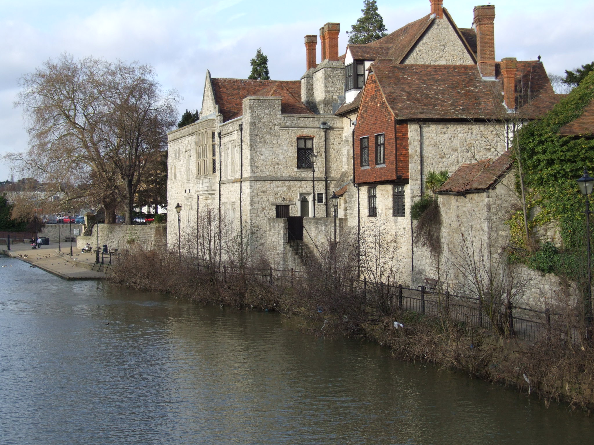
 Erzbischofpalast
- Palast des Erzbischofs am Flussufer
Persönlichkeiten
Söhne und Töchter
- Guy Fletcher – Musiker
- Tony Hart – Künstler und Fernsehmoderator
Mit Bezug zu Maidstone
- Dan Abnett – Science-Fiction-Autor
51.2736111111110.52277777777778Koordinaten: 51° 16′ N, 0° 31′ O

Wikimedia Foundation.