Tongoa

Tongoa

Vorlage:Infobox Insel/Wartung/Bild fehlt

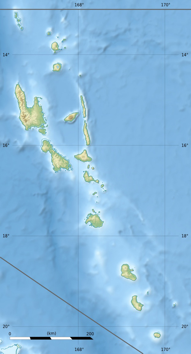
Tongoa (Kuwae)
Gewässer Pazifischer Ozean
Inselgruppe Shepherd-Inseln
Geographische Lage 16° 54′ 0″ S, 168° 33′ 0″ O-16.9168.55487Koordinaten: 16° 54′ 0″ S, 168° 33′ 0″ O
Tongoa (Kuwae) (Vanuatu)
Tongoa (Kuwae)
Länge 9 km
Breite 6 km
Fläche 41 km²
Höchste Erhebung Mount Mallamao
487 m
Einwohner 2.300 (2009)
56 Einw./km²
Hauptort Monua (Morua)

Tongoa ist die nördlichste Insel in der Gruppe der Shepherd-Inseln im südpazifischen Inselstaat Vanuatu. Sie gehört der zentral-gelegenen vanuatuischen Provinz Shefa an.

Mit 41 km² Landfläche ist die Vulkaninsel, die nur in den Küstenregionen dünn besiedelt ist, die größte der Shepherd-Inseln. Sie vereinigt auch den Großteil der Bevölkerung der Shepherd-Inseln auf sich. Von der ebenfalls zur Provinz Shefa gehörigen Insel Épi ist sie 7 Kilometer entfernt, von Éfaté (auf der die vanuatuische Hauptstadt Port Vila liegt) etwa 70 Kilometer. Im Tavani Akoma an der Ostseite erreicht die Insel eine Höhe von 487 Metern.[1]

Die 2300 Einwohner (Volkszählung 2009)[2] verteilen sich auf 14 Dörfer. Zur Volkszählung 1979 wurden noch 2856 Einwohner gezählt.[3], sowie 2397 im Jahr 1999.

Wenige Seemeilen nordöstlich vor Tongoa liegt der unterseeische Vulkan Kuwaé, der als einer der aktivsten Vulkane von Vanuatu gilt.

Siehe auch

Einzelnachweise

  1. [1]
  2. Vanuatu Volkszählung 2009
  3. [2]

Wikimedia Foundation.

Игры ⚽ Нужно сделать НИР?

Schlagen Sie auch in anderen Wörterbüchern nach:

  • Tongoa —  Ne doit pas être confondu avec Tangoa. Tongoa Cartes des îles Shepherd …   Wikipédia en Français

  • Tongoa Airport — is an airport in Tongoa, Vanuatu (IATA: TGH, ICAO: NVST). Airlines and destinations Air Vanuatu (Port Vila, Valesdir) Coordinates: 16°53′28″S …   Wikipedia

  • TGH — Tongoa, Vanuata internationale Flughafen Kennung …   Acronyms

  • TGH — Tongoa, Vanuata internationale Fughafen Kennung …   Acronyms von A bis Z

  • Islas Shepherd — (Shepherd Islands) Localización geográfica / administrativa Océano (mar) Océano Pacífico Continente (sub) …   Wikipedia Español

  • Shepherd Islands — The Shepherd Islands (coordinates coord|16.8|S|168.5|E) are a group of islands lying between the larger islands of Epi and Éfaté, in the Shefa province of Vanuatu. From north to south, the principal islands are: Laika, Tongoa (Kuwaé), Tongariki,… …   Wikipedia

  • Shepherd-Inseln — Lage der Shepherd Inseln (Provinz Shefa) Gewässer Pazifischer Ozean …   Deutsch Wikipedia

  • Iles Shepherd — Îles Shepherd les îles Shepherd et les volcans sous marins proches Les îles Shepherd (coordonnées …   Wikipédia en Français

  • Îles Shepherd — 16° 48′ S 168° 30′ E / 16.8, 168.5 …   Wikipédia en Français

  • Shefa Province — Shefa is a province of Vanuatu, including the islands of Epi and Efate and the Shepherd Islands. The name Shefa is derived from the initial letters of Shepherd and Efate. It has a population of 45,280 people and an area of 1,455 km². Its capital… …   Wikipedia

Share the article and excerpts

Direct link
Do a right-click on the link above
and select “Copy Link”