- Ulanhot
-
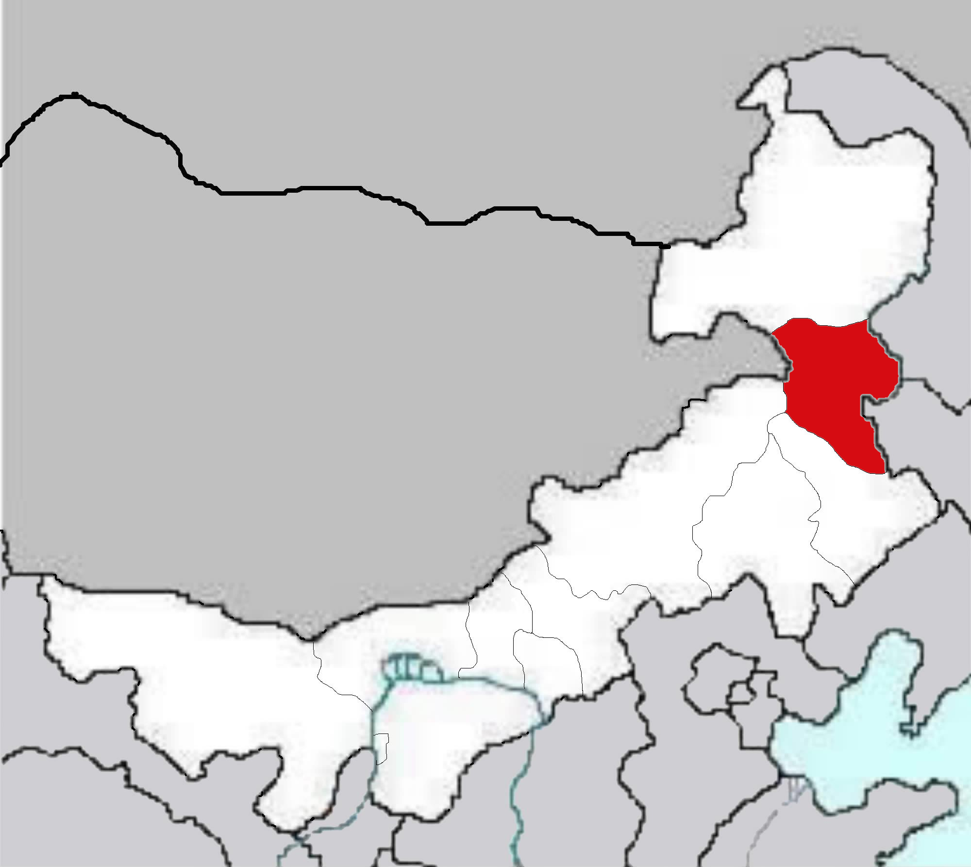
 Lage des Hinggan-Bundes in dem sich die kreisfreie Stadt Ulanhot befindet
Ulanhot (乌兰浩特市 Wūlánhàotè) ist die Hauptstadt des Hinggan-Bundes im Nordosten des Autonomen Gebiets Innere Mongolei der Volksrepublik China. Das Verwaltungsgebiet der kreisfreien Stadt hat eine Fläche von 772 km² (nach Angaben der Stadtregierung 865,15 km²) und ca. 290.000 Einwohner (Ende 2004).
Administrative Gliederung
Auf Gemeindeebene setzt sich Ulanhot aus acht Straßenvierteln und zwei Großgemeinden zusammen. Diese sind:
- Straßenviertel Aiguo (爱国街道);
- Straßenviertel Heping (和平街道);
- Straßenviertel Hinggan (兴安街道);
- Straßenviertel Shengli (胜利街道);
- Straßenviertel Tiexi (铁西街道);
- Straßenviertel Dulin (都林街道);
- Straßenviertel Wuyi (五一街道);
- Straßenviertel Yonglian (永联街道);
- Großgemeinde Ulan Had (乌兰哈达镇);
- Großgemeinde Jurhen (居力很镇).
Weblinks
46.068225122.06845833333Koordinaten: 46° 4′ N, 122° 4′ OKreisebene des Hinggan-BundesKreisfreie Städte: Ulanhot – Arxan
Kreis: Tuquan
Banner: Vorderes Horqin-Banner des Rechten Flügels – Mittleres Horqin-Banner des Rechten Flügels – Jalaid-Banner
Wikimedia Foundation.
Schlagen Sie auch in anderen Wörterbüchern nach:
Ulanhot — Original name in latin Ulanhot Name in other language HLH, Horqin Youyi Qianqi, Huai yuan chen, Huai yun chen, K o erh ch in yu ch ien ch i, K o erh ch in yu i ch ien ch i, K’o erh ch’in yu ch’ien ch’i, K’o erh ch’in yu i ch’ien ch’i, Ulan Hot,… … Cities with a population over 1000 database
Ulanhot Airport — is an airport in Ulanhot, Inner Mongolia, People’s Republic of China airport codes|HLH|ZBUL. Airlines and destinations*Grand China Express Air (Beijing, Hohhot) *Shandong Airlines (Hohhot)ee also*List of airports in the People s Republic of… … Wikipedia
Ulanhot — Ulan Hot Wūlánhàotè · 乌兰浩特 Pays Chine Statut administratif Ville district Province Mongolie Intérieure Préfecture Xing an Code postal 137400[1] … Wikipédia en Français
Улан-Хото — (Ulanhot)Ulanhot, город в автономном районе Внутренняя Монголия, С. В. Китая, на р.Таоэр, к З. от г.Харбин; 198000 жителей (1986) … Страны мира. Словарь
HLH — Ulanhot, Mainland China (Regional » Airport Codes) … Abbreviations dictionary
Ulan Hot — ( mn. , which remains the capital to this day.The city is connected to Baicheng, Jilin by the Transmanchurian Railway, which runs through the pass south of UlanhotFact|date=February 2008. China s National Highway 302 runs from Tumen, Jilin to… … Wikipedia
Hinggan-Bund — Mongolische Bezeichnung Mongolische Schrift: ᠬᠢᠩᠭᠠᠨ ᠠᠢᠢᠮᠠᠬ Transliteration: hingɣan ayimaɣ Offizielle Transkription der VRCh: Hinggan Kyrillische Schrift: Хянган аймаг ISO Transliteration: Hângan ajmag Transkription: Chjangan ajmag Chi … Deutsch Wikipedia
Expressways of China — Chinese expressway, complete with signage. Shown here is the G106 (Jingkai Expressway section) in southern Beijing. (Summer 2004 image) The Expressway Network of the People s Republic of China (simplified Chinese: 中国高速网; traditional Chinese:… … Wikipedia
China National Highway 302 — Route information Length: 1,028 km (639 mi) Major junctions … Wikipedia
Hohhot Baita International Airport — Infobox Airport name = Hohhot Baita International Airport nativename a = 呼和浩特白塔国际机场 nativename r = caption = Airport interior, 2008 image width = IATA = HET ICAO = ZBHH type = Public operator = Civil Aviation Administration of China city served … Wikipedia
Ulanhot
18+
© Academic, 2000-2026
- Kontaktieren Sie uns: Unterstützung, Werbung
Wörterbücher Export, schritte mit PHP, Joomla, Drupal, WordPress, MODx.