- Wychavon
-
Wychavon District 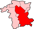
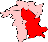
Lage in WorcestershireStatus District Region West Midlands Verw.grafschaft Worcestershire Verwaltungssitz Pershore Fläche 663,54 km² (61.) Einwohner 117.100 (177.) ONS-Code 47UF Website www.wychavon.gov.uk Wychavon ist ein District in der Grafschaft Worcestershire in England, dessen Name auf das angelsächsische Königreich Hwicce zurückgeht. Verwaltungssitz ist die Stadt Pershore. Weitere bedeutende Orte sind Droitwich Spa und Evesham.
Der Bezirk wurde am 1. April 1974 gebildet und entstand aus der Fusion der Boroughs Droitwich und Evesham, des Rural District Evesham sowie des größten Teils der Rural Districts Droitwich und Pershore.
Bromsgrove | Malvern Hills | Redditch | Worcester | Wychavon | Wyre Forest
Wikimedia Foundation.