- Botany Bay City
-
City of Botany Bay 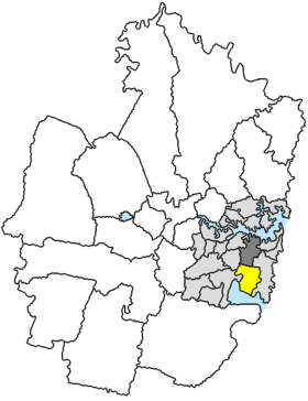
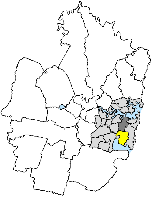
Lage der Botany Bay City (gelb) in SydneyGliederung Staat:  Australien
Bundesstaat:  New South Wales
Verwaltungssitz: Mascot Daten und Zahlen Fläche: 22 km² Einwohner: 35.993 (2006) [1] Bevölkerungsdichte: 1.636 Einwohner je km² Wards: 3 -33.933333333333151.2Koordinaten: 33° 56′ S, 151° 12′ OBotany Bay City ist ein lokales Verwaltungsgebiet (LGA) im australischen Bundesstaat New South Wales. Botany Bay City gehört zur Metropole Sydney, der Hauptstadt von New South Wales. Das Gebiet ist 22 km² groß und hat etwa 36.000 Einwohner.
Die City of Botany Bay grenzt im Norden an den Central Business District, das Stadtzentrum von Sydney, und im Süden an die Botany-Bucht. Das Gebiet umfasst 13 Stadtteile: Banksmeadow, Botany, East Botany, Eastgardens, Eastlakes, Hillsdale, Mascot, Sydney Domestic Airport und Teile von Daceyville, Kingsford, Matraville, Pagewood und Roseberry. Der Sitz des City Councils befindet sich im Stadtteil Mascot am Nordwestende der LGA.
Die Botany Bay war am 28. April 1770 Schauplatz der ersten Landung der Briten in Australien durch James Cook. Die beiden Landzungen und das angrenzende Land bilden den kleinen Botany Bay National Park, dessen Südseite Gedenkstätten der Landung und Entdeckung beherbergt.
In Botany Bay befindet sich der aufgeschüttete Containerhafen Port Botany, eine Erdölraffinerie und der größte Flughafens Australiens, der Kingsford Smith International Airport. In den Dünen der Südseite wurde unter anderem der Film Mad Max – Jenseits der Donnerkuppel gedreht.
Verwaltung
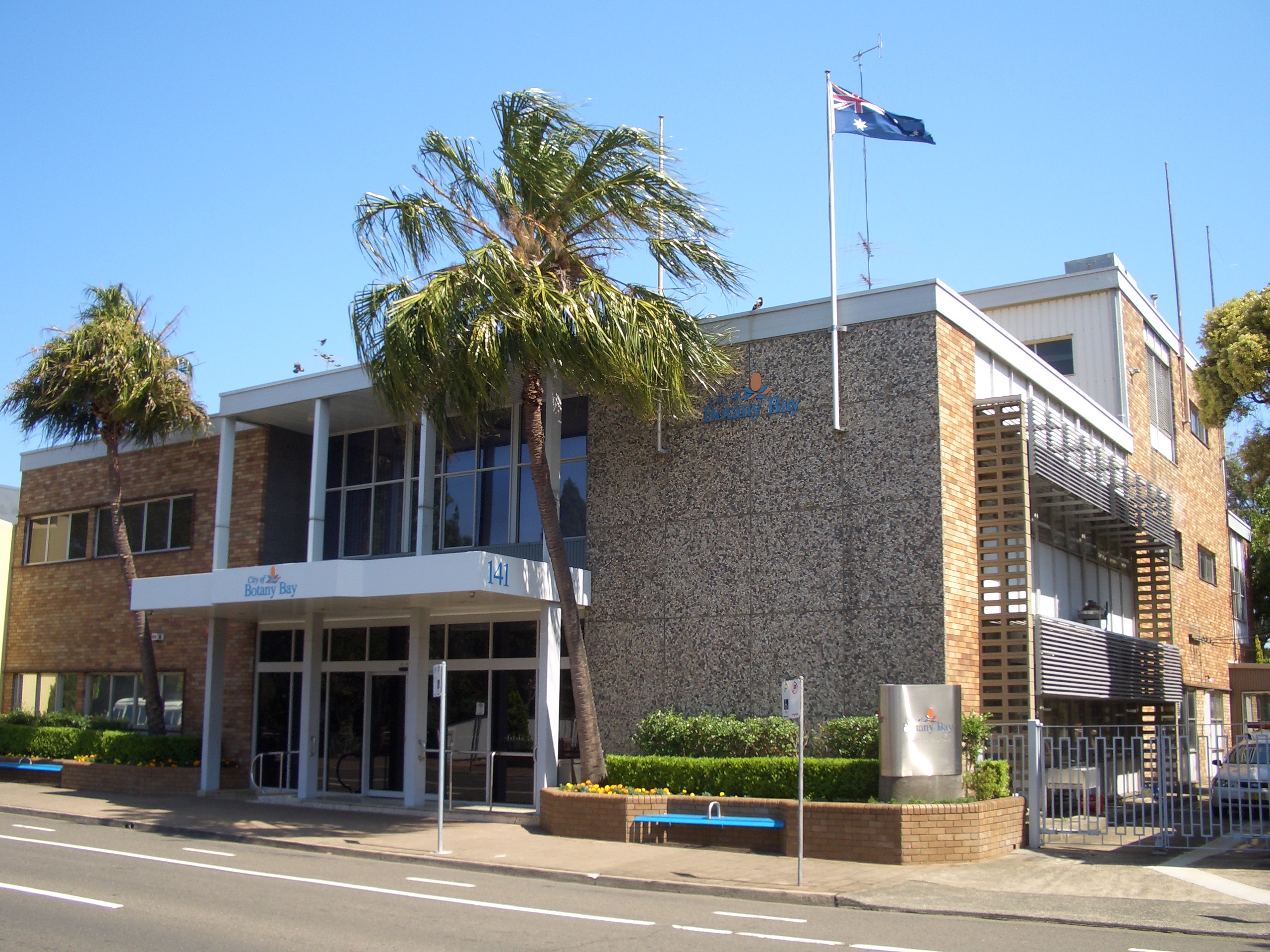
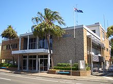 City of Botany Bay Admin Building
Der Council of the City of Botany Bay hat sieben Mitglieder. Je zwei Mitglieder werden von den Bewohnern der drei Wards (A, B und C Ward) gewählt, der Vorsitzende und Mayor (Bürgermeister) wird zusätzlich von allen Bewohnern der LGA gewählt. Die drei Wahlbezirke sind unabhängig von den Stadtteilen festgelegt.
Weblinks
Einzelnachweise
- ↑ Australian Bureau of Statistics (25. Oktober 2007): Botany Bay (C) (Local Government Area) (Englisch). 2006 Census QuickStats. Abgerufen am 23. März 2010.
Kategorien:- Local Government Area in New South Wales
- Local Government Area in Sydney
Wikimedia Foundation.