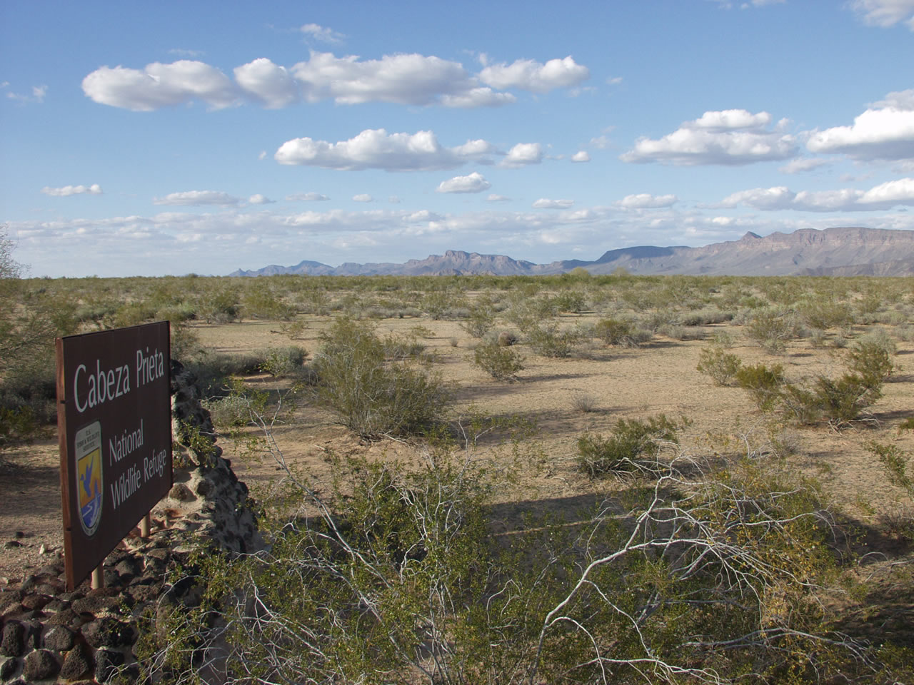
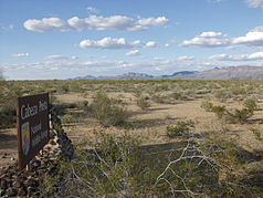
Cabeza Prieta National Wildlife Refuge
- Cabeza Prieta National Wildlife Refuge
-
| Cabeza Prieta National Wildlife Refuge |
|
|
|
|
| Lage: |
Arizona, Vereinigte Staaten |
| Nächste Stadt: |
Ajo |
| Fläche: |
3.480 km² |
| Gründung: |
1939 |
32.316666666667-113.43333333333
i3i6
Die Cabeza Prieta National Wildlife Refuge ist ein Wildschutzgebiet vom Typ eines National Wildlife Refuge in der Sonora-Wüste. Sie liegt im Pima County im Süden des US-Bundesstaates Arizona und grenzt über eine Länge von 90 km an Mexiko. Sie ist mit 3.480 km² größer als Luxemburg und das drittgrößte Wildschutzgebiet der Lower States. Der Name Cabeza Prieta stammt aus dem spanischen und bedeutet dunkler Kopf, abgeleitet von einem gleichnamigen Berg im Schutzgebiet.
Das Gebiet wird vom U.S. Fish and Wildlife Service verwaltet, einer Behörde unter dem Dach des US-Innenministeriums.
Besonders geschützte Tiere
Besuche
Die beste Zeit um das Wildschutzgebiet zu besuchen ist zwischen November und März.
Weblinks
Wikimedia Foundation.
Schlagen Sie auch in anderen Wörterbüchern nach:
Cabeza Prieta National Wildlife Refuge — Infobox protected area | name = Cabeza Prieta National Wildlife Refuge iucn category = IV caption = locator x = 47 locator y = 121 location = Pima County and Yuma County, Arizona, USA nearest city = Yuma, AZ lat degrees = lat minutes = lat… … Wikipedia
Cabeza Prieta National Wildlife Refuge — Sp Kabèsa Priètos nacionãlinis gamtõs rezervãtas Ap Cabeza Prieta National Wildlife Refuge L JAV (Arizona) … Pasaulio vietovardžiai. Internetinė duomenų bazė
Kofa National Wildlife Refuge — Infobox protected area | name = Kofa National Wildlife Refuge iucn category = IV caption = locator x = 44 locator y = 114 location = Yuma County and La Paz County, Arizona, USA nearest city = Yuma, AZ lat degrees = lat minutes = lat seconds = lat … Wikipedia
Cabeza-Prieta-Wildschutzgebiet — Cabeza Prieta National Wildlife Refuge … Deutsch Wikipedia
Cabeza Prieta Wilderness — Infobox protected area | name = Cabeza Prieta Wilderness iucn category = Ib caption = locator x = 47 locator y = 121 location = Arizona, USA nearest city = Yuma, AZ lat degrees = 32 lat minutes = 16 lat seconds = 5 lat direction = N long degrees … Wikipedia
Cabeza Prieta Mountains — Geobox|Range name=Cabeza Prieta Mountains image size= image caption= country=United States state=Arizona geology=|orogeny= highest=Unnamed highest elevation imperial=2832 map caption=The Cabeza Prieta Mountains are a mountain range in the western … Wikipedia
Cibola National Wildlife Refuge — is a U.S. National Wildlife Refuge in the floodplain of the lower Colorado River between Arizona and California and surrounded by a fringe of desert ridges and washes. The refuge encompasses both the historic Colorado River channel as well as a… … Wikipedia
List of National Wildlife Refuges — As of 30 July 2007, there were 548 National Wildlife Refuges in each of the United States. Refuges that have boundaries in multiple states are listed only in the state where the main visitor entrance is located. The newest one made is the Rocky… … Wikipedia
Liste des National Wildlife Refuges des États-Unis — Au 30 juillet 2007, les États Unis d Amérique comptait 548 National Wildlife Refuges, ces refuges étant répartis dans tout le pays. Un des derniers créés se trouve dans les Rocky Flats au Colorado[1] Administration L administration… … Wikipédia en Français
Liste des national wildlife refuges des États-Unis — Au 30 juillet 2007, les États Unis d Amérique comptait 548 National Wildlife Refuges, ces refuges étant répartis dans tout le pays. Un des derniers créés se trouve dans les Rocky Flats au Colorado[1] Administration L administration… … Wikipédia en Français

 Commons: Cabeza Prieta National Wildlife Refuge – Sammlung von Bildern, Videos und AudiodateienKategorien: