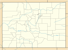
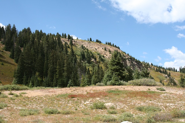
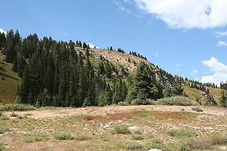
Berthoud Pass — Infobox Mountain Pass Name = Berthoud Pass Photo = DSCN2519 berthoudpass e 600.jpg Caption = View from the summit of Berthoud Pass Elevation = 11,307 ft./3446 m. Location = Colorado, USA Range = Rocky Mountains Coordinates = coor… … Wikipedia
Berthoud Pass — geographical name mountain pass 11,315 feet (3449 meters) N Colorado in Front Range WNW of Denver … New Collegiate Dictionary
Berthoud — People with the last name Berthoud include: *Ferdinand Berthoud, maker of chronometers *Edward L. Berthoud, military officer and engineerPlaces with the name Berthoud include: *Berthoud, Colorado, USA *Berthoud Pass, Colorado, USA … Wikipedia
Edward L. Berthoud — Captain Edward L. Berthoud was a military officer, statesman and engineer in the western United States during the late 19th century. He is primarily known as the chief engineer and secretary of the Colorado Central Railroad during its expansion… … Wikipedia
Rabbit Ears Pass — Infobox Mountain Pass Name = Rabbit Ears Pass Photo = RabbitEarsPass.jpg Caption = Rabbit Ears Pass Elevation = convert|9426|ft|m Location = Colorado, USA Range = Rocky Mountains Coordinates = Topographic… … Wikipedia
Muddy Pass — Elevation 8,772 ft (2,674 m) Traversed by U.S. Highway 40 … Wikipedia
Ski touring — up a mountain slope. Ski touring is a form of backcountry skiing (or off piste skiing) involving traveling over the winter landscape on skis under human power rather than through the assistance of ski lifts or snow vehicles. It can take place in… … Wikipedia
List of places in Colorado: A–D — Adams Alam Arapahoe … Wikipedia
Interstate 70 in Colorado — This article is about the section of Interstate 70 in Colorado. For the entire length of the highway, see Interstate 70. Interstate 70 … Wikipedia
Middle Park (Colorado basin) — View of Middle Park near Granby, Colorado Middle Park (elev. 8000 ft/2500 m) is a high basin in the Rocky Mountains of north central Colorado in the United States. It is located in Grand County, on the southwest slope of Rocky Mountain National… … Wikipedia
 U.S. Highway 40