Carbost (Loch Harport)

Carbost (Loch Harport)
Carbost
Koordinaten 57° 18′ N, 6° 21′ W57.301388888889-6.3527777777778Koordinaten: 57° 18′ N, 6° 21′ W
Carbost (Schottland)
Carbost
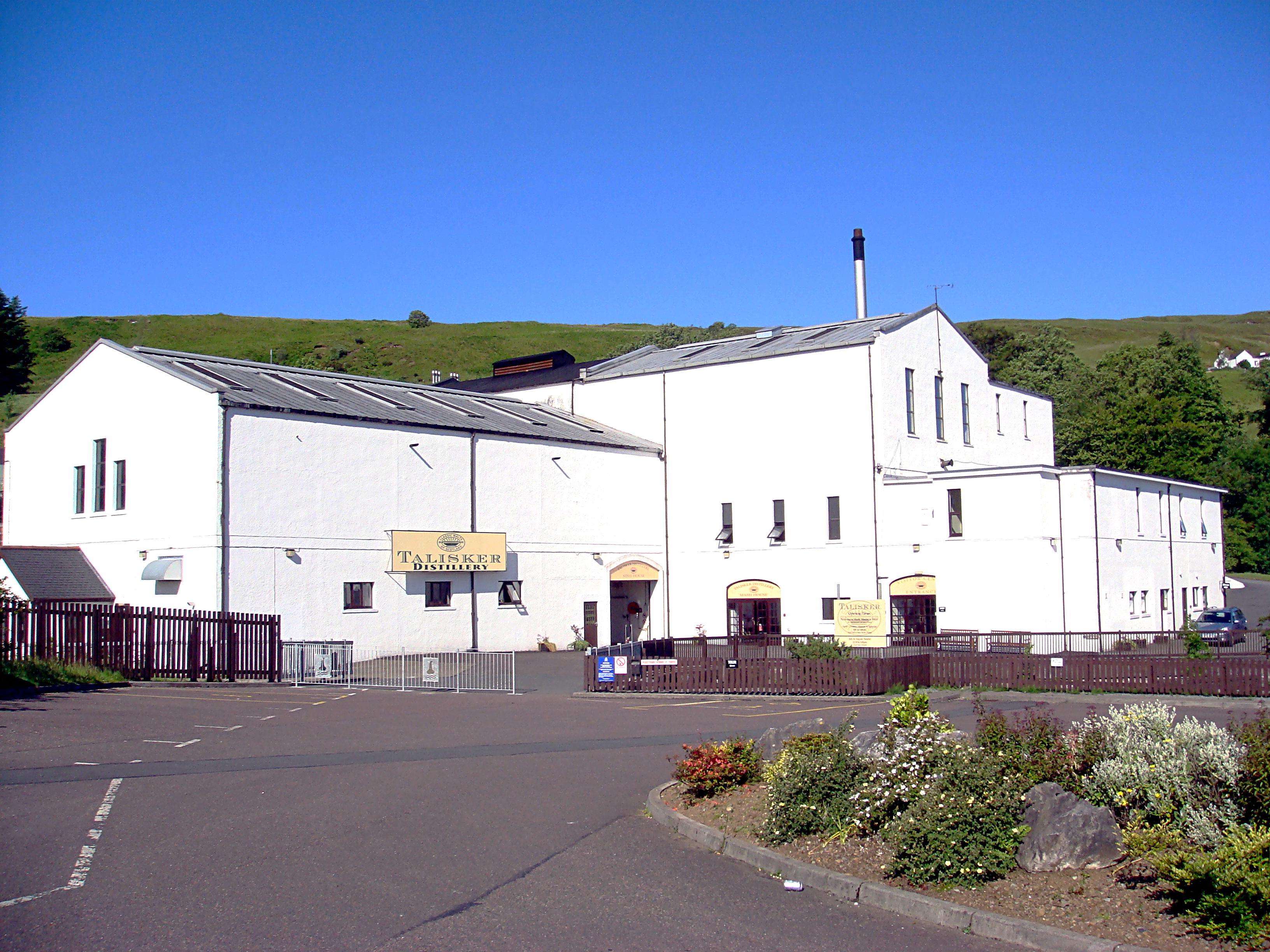
Carbost
Verwaltung
Post town ISLE OF SKYE
Postleitzahlen­abschnitt IV47
Vorwahl 01478
Landesteil Scotland
Unitary authority Highland
Britisches Parlament Ross, Skye and Lochaber
Schottisches Parlament Skye, Lochaber and Badenoch

Carbost ist eine Ortschaft auf der schottischen Insel Skye und gehört somit zur Region Highland. Sie liegt an der Südküste von Loch Harport etwa 16 km südwestlich vom Hauptort Portree[1] und ist nicht zu verwechseln mit dem Weiler Carbost nahe Portree, der ebenfalls auf der Insel Skye liegt. Carbost ist bekannt als Standort der im Jahre 1831 gegründeten Whiskybrennerei Talisker, der einzigen Destillerie auf Skye[2] und einer der bedeutendsten Arbeitergeber der Umgebung.
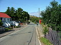
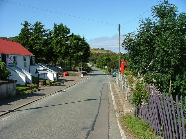

Einzelnachweise

  1. Eintrag im Gazetteer for Scotland
  2. Daten zur Talisker-Brennerei bei maltmadness.com

Wikimedia Foundation.

Игры ⚽ Нужна курсовая?

Schlagen Sie auch in anderen Wörterbüchern nach:

  • Carbost, Loch Harport — Not to be confused with Carbost, Portree. Coordinates: 57°18′08″N 6°21′16″W / 57.30232°N 6.35436°W / 57.30232; 6.35436 …   Wikipedia

  • Carbost — ist der Name zweier Ortschaften auf der Insel Skye: Carbost (Loch Harport) Carbost (Portree) Diese Seite ist eine Begriffsklärung zur Unterscheidung mehrerer mit demselben Wort bezeichneter Begriffe …   Deutsch Wikipedia

  • Oronsay, Loch Bracadale — For other places with the same name, see Oronsay. Oronsay, Loch Bracadale Location OS grid reference NG316360 Names Gaeli …   Wikipedia

  • Minginish — Map of Skye showing Minginish Minginish (Scottish Gaelic: Minginis) is a peninsula on the island of Skye in Scotland. It is situated in south central Skye, between Loch Scavaig and Glen Drynoch in the west and Loch Harport and Glen Sligachan in… …   Wikipedia

  • Bracadale — Coordinates: 57°21′35″N 6°24′30″W / 57.359625°N 6.408204°W / 57.359625; 6.408204 …   Wikipedia

  • Drynoch — Coordinates: 57°20′01″N 6°21′11″W / 57.33374°N 6.35307°W / 57.33374; 6.35307 …   Wikipedia

  • Duirinish, Skye — Not to be confused with the hamlet of Duirinish, Lochalsh. Map of Skye showing Duirinish …   Wikipedia

  • Cuillin — This article is about the Cuillin of Skye. See Rùm for the Cuillin of Rùm. Sgurr nan Gillean and the Pinnacle Ridge from Basteir gorge The Cuillin (Scottish Gaelic: An Cuilthionn or An Cuiltheann) are a range of rocky mountains located on the… …   Wikipedia

  • Dun Ringill — fort Dun Ringill (Gaelic: Dùn, fort , Ringill, point of the ravine ) is an Iron Age hill fort on the Isle of Skye, Scotland. Further fortified in the Middle Ages, tradition holds that it was for several centuries the seat of Clan MacKinnon.[1] It …   Wikipedia

  • Claigan — Coordinates: 57°29′08″N 6°36′35″W / 57.48562°N 6.60983°W / 57.48562; 6.60983 …   Wikipedia

Share the article and excerpts

Direct link
Do a right-click on the link above
and select “Copy Link”