- Kalatungan
-
Kalatungan 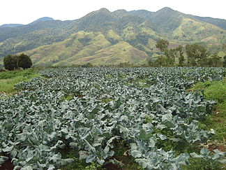
Kalatungan mountain range
Höhe 2.824 m Lage Insel Mindanao, Philippinen Geographische Lage 7° 57′ 19″ N, 124° 48′ 9″ O7.9552777777778124.80252824Koordinaten: 7° 57′ 19″ N, 124° 48′ 9″ O 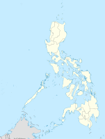

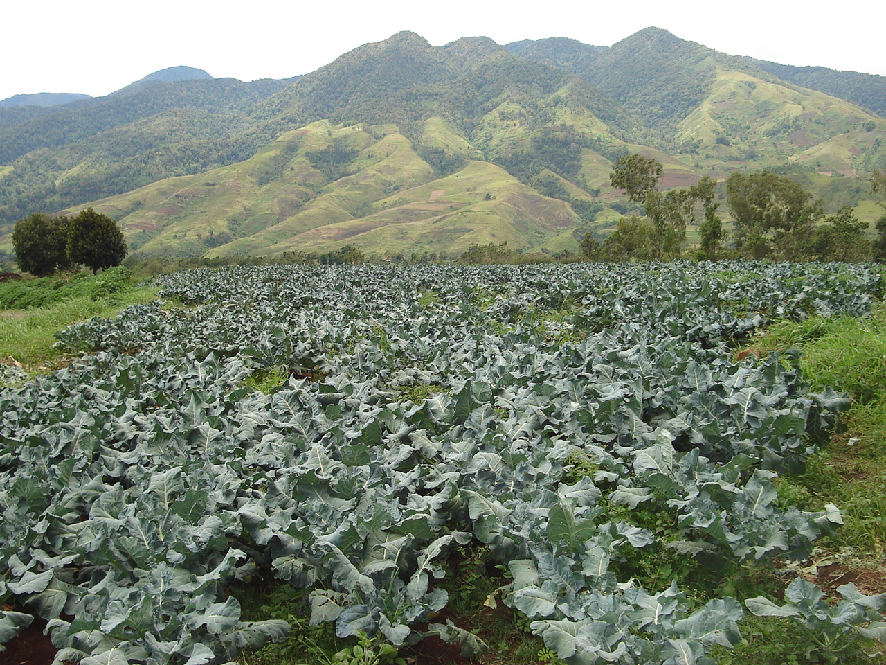
Typ Schichtvulkan Gestein Andesit, Basalt Letzte Eruption Unbekannt Der Kalatungan (auch bekannt als Catatungan) ist mit 2.824 m der zweithöchste Vulkan und der sechsthöchste Berg auf den Philippinen. Der Vulkan befindet sich im Zentrum der Insel Mindanao, in der Nähe der Stadt Pangantucan, östlich des Lake Lanao in der Provinz Bukidnon. Der hauptsächlich basaltische Schichtvulkan bildet einen Gebirgszug, der in Ost-West Richtung verläuft und seit dem Jahre 2000 als das Mount Kalatungan Range Natural Park unter Naturschutz steht.
Der Kalatungan hat einen Basisdurchmesser von 44 km und wurde 2004 vom Philippine Institute of Volcanology and Seismology als "potenziell aktiv" eingestuft; es ist wahrscheinlich, dass der Katalungan seinen letzten Ausbruch im Holozän hatte. Eine eingrenzende Zeitbestimmung seiner letzten Eruption ist nicht bekannt.
Quellen
- Kalatungan im Global Volcanism Program der Smithsonian Institution (englisch)
- Philippine Institute of Volcanology and Seismology
Weblinks
Kategorien:- Zweitausender
- Berg in Asien
- Berg auf den Philippinen
- Schichtvulkan

Wikimedia Foundation.