- Escudeiros
-
Escudeiros Wappen Karte 
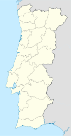

Basisdaten Region: Norte Unterregion: Cávado Distrikt: Braga Concelho: Braga Koordinaten: 41° 29′ N, 8° 26′ W41.477644-8.428312Koordinaten: 41° 29′ N, 8° 26′ W Einwohner: 1.050 (Stand: 2001) Fläche: 4,2 km² Bevölkerungsdichte: 250 Einwohner pro km² Politik Adresse der Gemeindeverwaltung: Junta de Freguesia de Escudeiros
Lugar do Assento
4705-475 EscudeirosEscudeiros ist eine Gemeinde im Norden Portugals.
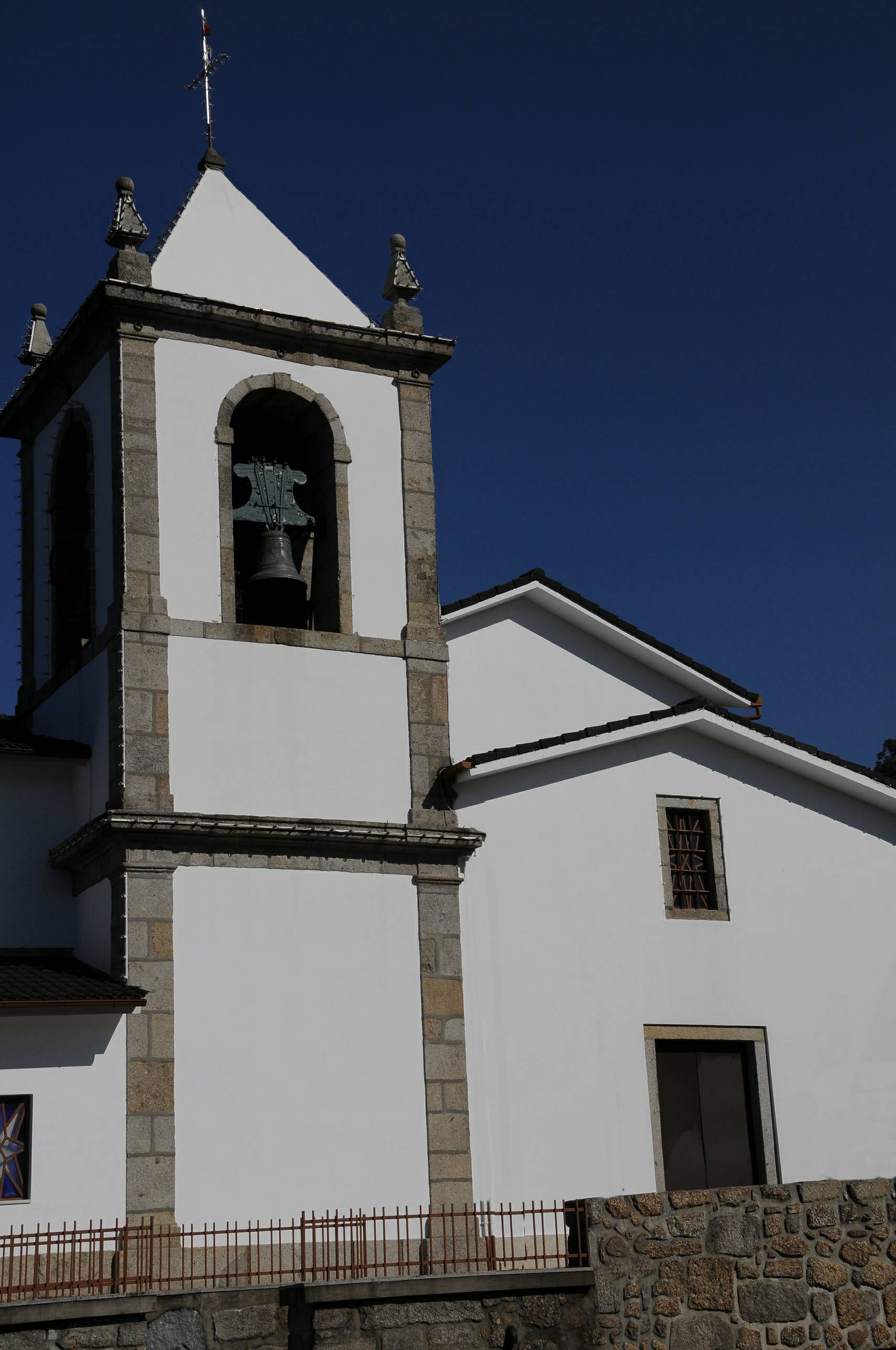
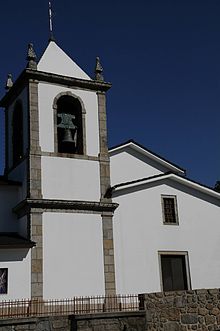 Kirche von Escudeiros
Escudeiros gehört zum Kreis Braga im gleichnamigen Distrikt Braga, besitzt eine Fläche von 4,2 km² und hat 1050 Einwohner (Stand: 2001).[1] Der Ort ist nur gering urbanisiert.
Einzelnachweise
- ↑ Daten zu Escudeiros. alea.pt, abgerufen am 21. Mai 2011 (englisch).
Weblinks
- Karte der Freguesia Escudeiros beim Instituto Geográfico do Exército
- Escudeiros. cm-braga.pt, abgerufen am 21. Mai 2011 (portugiesisch).
 Freguesias im Concelho Braga
Adaúfe | Arcos | Arentim | Aveleda | Cabreiros | Celeirós | Cividade | Crespos | Cunha | Dume | Escudeiros | Espinho | Esporões | Ferreiros | Figueiredo | Fradelos | Fraião | Frossos | Gondizalves | Gualtar | Guisande | Lamaçães | Lamas | Lomar | Maximinos | Mire de Tibães | Morreira | Navarra | Nogueira | Nogueiró | Padim da Graça | Palmeira | Panoias | Parada de Tibães | Passos | Pedralva | Pousada | Priscos | Real | Ruilhe | Santa Lucrécia de Algeriz | Santo Estêvão do Penso | São João do Souto | São José de São Lázaro | São Mamede de Este | São Paio de Merelim | São Pedro de Este | São Pedro de Merelim | São Pedro de Oliveira | São Vicente | São Vicente do Penso | São Victor | Sé | Semelhe | Sequeira | Sobreposta | Tadim | Tebosa | Tenões | Trandeiras | Vilaça | Vimieiro
Wikimedia Foundation.
Schlagen Sie auch in anderen Wörterbüchern nach:
Escudeiros — Saltar a navegación, búsqueda Escudeiros Paisagem de Escudeiros, a partir do Lugar do Monte. A cidade ao fundo é Braga Concelho Braga … Wikipedia Español
Escudeiros — Infobox Parish PT official name = Escudeiros image coat of arms = image location = Escudeiros loc.png Municipality = Braga area total = 3.88 population total = 1 050 population density = 270.6 postal code = website = Escudeiros is a Portuguese… … Wikipedia
Эшкудейруш — Район Эшкудейруш Escudeiros Страна ПортугалияПортугалия … Википедия
Португалия — I [Карта П. см. карту Испании.] королевство в Европе. Занимает западную часть Пиренейского п ова, между 36°59 42°8 сев. шир. и 6°10 9°31 запад. долг. от Гринвича; образует продолговатый четырехугольник, наибольшая длина которого 558 км, а ширина… … Энциклопедический словарь Ф.А. Брокгауза и И.А. Ефрона
Районы округа Брага — … Википедия
escudeiro-mor — s. m. Chefe dos escudeiros. • Plural: escudeiros mores … Dicionário da Língua Portuguesa
List of postal codes in Portugal — Aveiro districtMealhada municipality*3050 Antes *3050 Barcouço *3050 Casal Comba *3050 Luso *3050 Mealhada *3050 Pampilhosa *3050 Vacariça *3050 Ventosa do BairroMurtosa municipality*3870 Bunheiro *3870 Monte *3870 Murtosa *3870 TorreiraOliveira… … Wikipedia
Cernache de Bonjardim — Cernache do Bonjardim is a parish ( freguesia ) (municipality of Sertã) in central Portugal. It is often wrongly spelled S ernache do Bonjardim.The Portuguese hero Nuno Álvares Pereira was born in Cernache do Bonjardim on 24 June 1360.The… … Wikipedia
Dume — São Martinho de Dume Parish Location in the municipality of Braga Country Portugal … Wikipedia
Mire de Tibães — Parish Location in the municipality of Braga Country Portugal … Wikipedia
Escudeiros


18+
© Academic, 2000-2026
- Kontaktieren Sie uns: Unterstützung, Werbung
Wörterbücher Export, schritte mit PHP, Joomla, Drupal, WordPress, MODx.