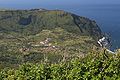
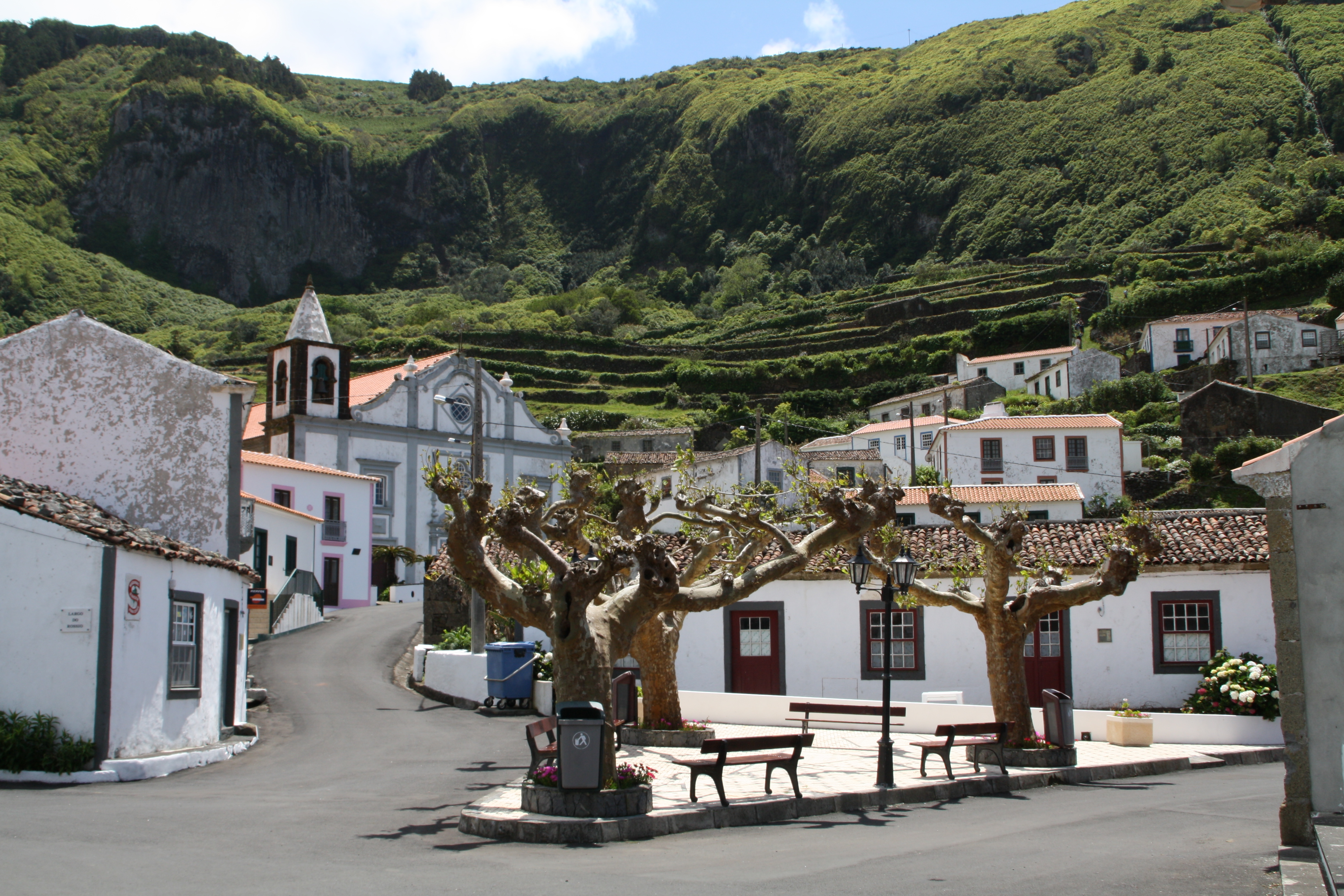
- Fajãzinha
-
Fajãzinha Wappen Karte 


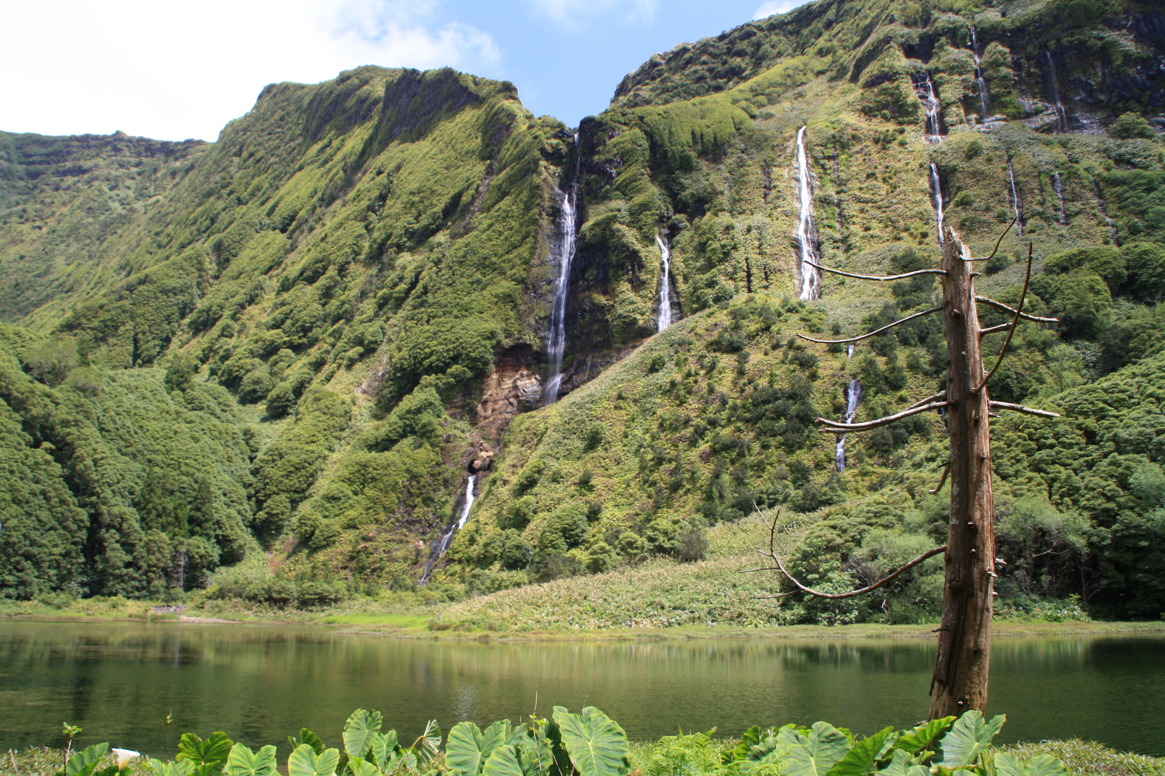
Basisdaten Autonome Region: Azoren Concelho: Lajes das Flores Koordinaten: 39° 26′ N, 31° 15′ W39.432222222222-31.254166666667Koordinaten: 39° 26′ N, 31° 15′ W Einwohner: 105 (Stand: 2001) Fläche: 6,21 km² Bevölkerungsdichte: 17 Einwohner pro km² Fajãzinha ist eine Freguesia (Gemeinde) im Kreis Lajes das Flores auf der Azoren-Insel Flores. Durch das Gemeindegebiet fließt der Ribeira Grande, der größte Bach der Insel, der in einem Wasserfall 300 Meter tief von der Hochebene stürzt. Die nächsten Orte sind Fajã Grande im Norden und Mosteiro im Süden. Fajãzinha wurde erst in den 1950er Jahren an das Straßennetz der Insel angeschlossen.
Unweit des zentralen Platzes Rossio liegt die von 1776 bis 1783 erbaute dreischiffige Kirche Igreja Nossa Senhora dos Remedios. Sie gilt als eine der schönsten Kirchen auf Flores. Der Ort besitzt eine kleine Käserei und außerhalb, an der Straße nach Fajã Grande, eine Wassermühle. Oberhalb des Ortes befindet sich der malerische Teich Poço da Alagoinha, der von zahlreichen Wasserfällen gespeist wird.
Galerie
-
Fajãzinha
-
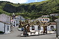
Platz Rossio mit Kirche Igreja Nossa Senhora dos Remedios
-
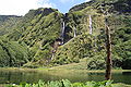
Poço da Alagoinha
Weblinks
-
 Commons: Fajãzinha – Sammlung von Bildern, Videos und Audiodateien
 - Fajãzinha – das kleine Dörfchen auf Azoren Online
Kategorien:- Ort auf den Azoren
- Freguesia in Portugal
-


Wikimedia Foundation.