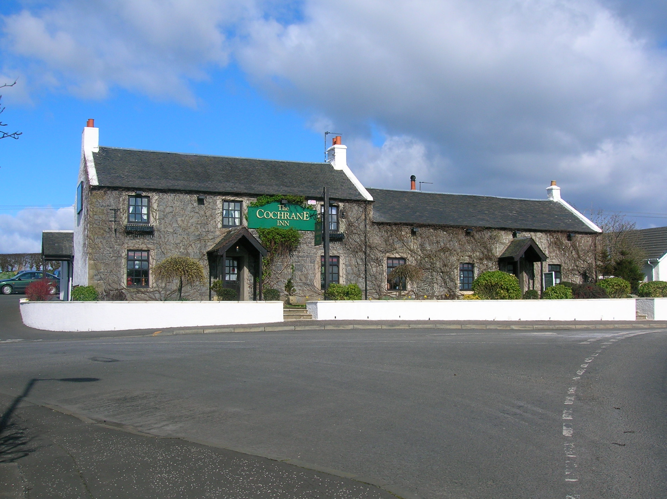
Gatehead, East Ayrshire — Infobox UK place official name= Gatehead gaelic name= scots name= local name= country= Scotland map type= Scotland population= population density= os grid reference= NS393364 edinburgh distance= london distance= latitude= 55.5955 longitude=… … Wikipedia
Gatehead railway station — Infobox UK disused station name = Gatehead caption = The remains of the station platform in early 2007 line = Kilmarnock and Troon Railway manager = Glasgow and South Western Railway locale = Gatehead borough = Ayrshire latitude = 55.5943… … Wikipedia
Laigh Milton Viaduct — Infobox Bridge bridge name = Laigh Milton Viaduct caption = Laigh Milton Viaduct in East Ayrshire over the River Irvine official name = Laigh Milton Viaduct locale = Laigh Milton mill at Gatehead in East Ayrshire, Scotland. carries = Traffic… … Wikipedia
Thorntoun house and estate — Thorntoun School was opened by Barnardo s in September 1971 for children with emotional difficulties aged 11 to 16 years. The school closed in 1990 and Thorntoun is now a Nursing Home. The complex lies between the villages of Springside (North… … Wikipedia
Knockentiber — (Scottish Gaelic: Cnoc an Tobair , hill of the well) is a village in East Ayrshire, Parish of Kilmaurs, Scotland. Knockentiber is convert|2|mi|km WNW of Kilmarnock and 1/2 mile NE of Crosshouse. Latitude:55.6193°N Longitude:4.5455°W and… … Wikipedia
Kilmaurs — KILMAURS, a burgh of barony and a parish, in the district of Cunninghame, county of Ayr; containing, with the villages of Knockentiber, Kirkton, Milton, and Crosshouse, 2617 inhabitants, of whom 1035 are in the burgh, 2 miles (N. N. W.) from… … A Topographical dictionary of Scotland
List of places in East Ayrshire — This List of places in East Ayrshire is a list of links for any town, village, hamlet, castle, golf course, historic house, nature reserve, reservoir, river and other place of interest in East Ayrshire.compactTOC NOTOC A*Afton Bridgend… … Wikipedia
Ayrshire — This article is about the region in Scotland. For the cattle originating from Ayrshire, see Ayrshire cattle. For the small city in the United States, see Ayrshire, Iowa. Ayr County (until circa 1890) … Wikipedia
East Ayrshire — infobox Scotland council area Council= Shire of East Ayrshire |250px SizeRank= 14th Size= 1,262 km² Water= ? AdminHQ= Kilmarnock ISO= GB EAY ONS= 00QK PopulationRank= 16th PopulationDate= 2001 Population= 120,235 PopulationDensity=95 / km²… … Wikipedia
Vendsyssel — is the northernmost traditional district of Denmark and of Jutland. Being divided from mainland Jutland by the Limfjord, it is technically a part of the North Jutlandic Island. Vendsyssel is part of the North Jutland Region.Vendsyssel neighbours… … Wikipedia


 Gebäude in Gatehead