Honeymoon Island (Florida)
- Honeymoon Island (Florida)
-
Vorlage:Infobox Insel/Wartung/Fläche fehltVorlage:Infobox Insel/Wartung/Höhe fehlt
| Honeymoon Island |
|
Honeymoon Island State Park |
| Gewässer |
Golf von Mexiko |
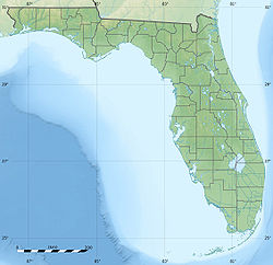
| Geographische Lage |
28° 3′ 40,68″ N, 82° 49′ 35,5″ W28.061301373333-82.826528549167Koordinaten: 28° 3′ 40,68″ N, 82° 49′ 35,5″ W |
|
|
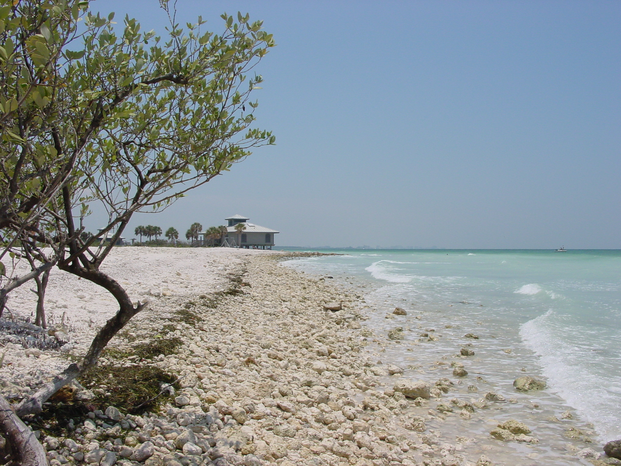
Honeymoon Island ist eine Golfinsel in Pinellas County in Florida nahe Dunedin. Die dem Festland vorgelagerte Insel ist per Auto über den Dunedin Causeway, die Florida State Road 586, erreichbar. Von Honeymoon Island aus starten Fähren zur Nachbarinsel Caladesi Island, die nicht per Auto erreicht werden kann. Einst waren Honeymoon Island und Caladesi Island eine Insel mit dem Namen Hog Island (auf deutsch Schweine-Insel), bis 1921 ein Hurrikan die Insel in zwei Inseln teilte.
Namensherkunft
Der Name Honeymoon Island stammt aus den späten 30er Jahren, frühen 40er Jahren des 20. Jahrhunderts, als der New Yorker Bauherr Clinton Washburn Bungalows für Paare in den Flitterwochen bauen ließ.
Honeymoon Island State Park
Auf Honeymoon Island befindet sich der Honeymoon Island State Park, der zu den Florida State Parks zählt. Das 11 km² große Naturschutzgebiet ist durch Strände, Kiefern- und Pinienhaine sowie Palmenwälder gekennzeichnet. Beliebt ist die Insel bei Erholungssuchenden, Muschelsammlern und Ornithologen, da hier viele verschiedene Vogelarten wie Pelikane und Fischadler zu beobachten sind. Ausreichend Parkplätze, öffentliche Duschmöglichkeiten und Picknickpavillons sind auf Honeymoon Island zu finden.
Weblinks
Kategorien:
- Insel (Florida)
- Insel (Nordamerika)
- Insel (Golf von Mexiko)
Wikimedia Foundation.
Schlagen Sie auch in anderen Wörterbüchern nach:
Honeymoon Island — ist der Name mehrerer Inseln in den Vereinigten Staaten: Honeymoon Island (Florida) Honeymoon Island (Lake of the Woods County, Minnesota) Honeymoon Island (St. Louis County, Minnesota) Honeymoon Island (Virginia) Honeymoon Island (Wisconsin) … Deutsch Wikipedia
Honeymoon Island State Park — Infobox protected area name = Honeymoon Island State Park iucn category = V caption = locator x = locator y = location = Pinellas County, Florida, USA nearest city = Dunedin, Florida lat degrees = 28 lat minutes = 04 lat seconds = 08 lat… … Wikipedia
Florida State Road 586 — Infobox road state=FL type=FL route=586 alternate name=Curlew Road length mi=5.33 length round=2 length ref= [http://www.dot.state.fl.us/planning/statistics/pdfs/fedaidreport.pdf FDOT Federal Aid Report] established= direction a=West direction… … Wikipedia
Lotus, Florida — Lotus is a former town in Brevard County, Florida, United States. It is home to Honeymoon Hill, the highest point on the mainland peninsula, Merritt Island. In some sections of the area, citrus groves grow between the Indian and Banana rivers.… … Wikipedia
Dunedin, Florida — City Dunedin downtown … Wikipedia
Caladesi Island State Park — Infobox protected area name = Caladesi Island State Park iucn category = Ib caption = locator x = 225 locator y = 155 location = Pinellas County, Florida, USA nearest city = Dunedin, Florida lat degrees = 28 lat minutes = 01 lat seconds = 12 lat… … Wikipedia
Merritt Island National Wildlife Refuge — Coordinates: 28°31′00″N 80°40′00″W / 28.5166667°N 80.6666667°W / 28.5166667; 80.6666667 … Wikipedia
Don Pedro Island State Park — Don Pedro Island State Recreation Area IUCN Category Ib (Wilderness Area) … Wikipedia
State Parks in Florida — Dies ist eine Liste der State Parks im US Bundesstaat Florida. Blackwater River State Park Blue Spring State Park … Deutsch Wikipedia
Liste von State Parks in Florida — Dies ist eine Liste der State Parks im US Bundesstaat Florida. Blackwater River State Park … Deutsch Wikipedia