- Cerro Catedral (Uruguay)
-
Cerro Catedral 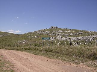
Cerro Catedral
Höhe 514 m Lage Uruguay, Maldonado Departamento Gebirge Sierra Carapé Geographische Lage 34° 22′ 56″ S, 54° 40′ 28″ W-34.382194444444-54.674361111111514Koordinaten: 34° 22′ 56″ S, 54° 40′ 28″ W 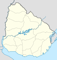

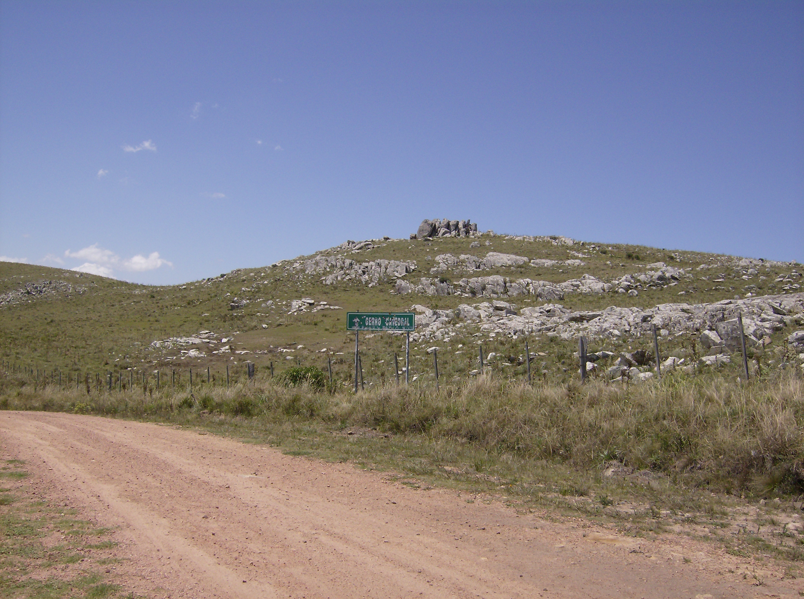
Gestein Granit, Gneiss Alter des Gesteins Präkambrium Besonderheiten höchster Punkt Uruguays Cerro Catedral (Deutsch: Kathedralenhügel – Aussprache: ['sero kate'ðɾal], auch bekannt als Cerro Cordillera) ist der höchste Punkt von Uruguay. Der Gipfel liegt auf einer Höhe von 514 Meter. Er befindet sich im Norden des Maldonado Departamentos und gehört zur Hügelkette der Sierra Carapé.
Inhaltsverzeichnis
Geschichte
Bis 1973 galt der Cerro de las Ánimas mit einer Höhe von 501 Meter als höchster Punkt Uruguays. In diesem Jahr nahm das „Servicio Geográfico Militar“[1] erneut Messungen vor und änderten die Höhenangabe des Cerro Catedral auf die heute gültige.
Siehe auch
Einzelnachweise
Weblinks
- Cerro Catedral auf der Seite der Stadt Maldonado
- Cerro Catedral bei Peakbagger.com (englisch)
Kategorien:- Berg unter 1000 Meter
- Berg in Uruguay
- Berg in Südamerika
- Maldonado (Departamento)

Wikimedia Foundation.