Lake Mitchell

Lake Mitchell
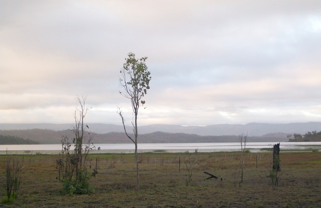
Lake Mitchell
Blick vom Mulligan Highway auf den Lake Mitchell an einem frühen Dezembermorgen (2009)
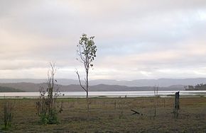
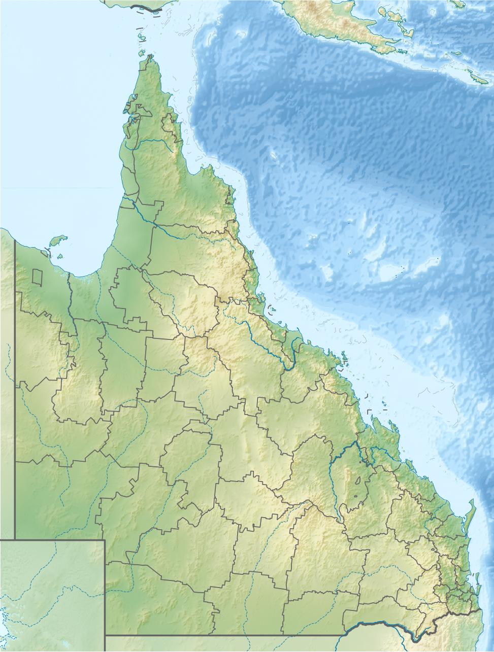
Lage: Queensland (Australien)
Zuflüsse: Mitchell River
Abflüsse: Mitchell River
Größere Orte in der Nähe: Southedge, Yalkula, Mareeba
Lake Mitchell (Queensland)
Lake Mitchell
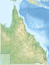
Koordinaten 16° 47′ 14,3″ S, 145° 18′ 25,2″ O-16.7873145.307Koordinaten: 16° 47′ 14,3″ S, 145° 18′ 25,2″ O
Daten zum Bauwerk
Bauzeit: –1986
Daten zum Stausee
Höhe des Stauziels: 375 m
Wasseroberfläche bei Vollstau: 32,9 km²
Stauseelänge: 9 km
Stauseebreite: 6,5 km
Speicherraum: 129 Mio. m³dep1

Der Lake Mitchell (auch: Southedge-Staudamm oder Quaids-Staudamm) ist ein Stausee im Nordosten des australischen Bundesstaates Queensland am Oberlauf des Mitchell River.

Der See 26 km nördlich von Mareeba hat ein Fassungsvolumen von 129 Mio. m³ und bedeckt eine Fläche von 32,9 km².[1]

Geschichte

Der Stausee blieb seit seiner Fertigstellung 1986 ungenutzt. Er wurde von der Southedge Daintree Pastoral Company gebaut und gehört ihr heute noch.[2]

Weblinks und Quellen

Einzelnachweise

  1. Rivers – Assessment of River Condition – Queensland – Mitchell River (QLD). Australian Natural Resources Atlas. Australian Government
  2. Water Regulation 2002 – Schedule 12. Queensland Consolidated Regulations

Wikimedia Foundation.

Игры ⚽ Поможем сделать НИР

Schlagen Sie auch in anderen Wörterbüchern nach:

  • Mitchell River (Queensland) — Mitchell River Blick flussaufwärts an den kleinen Wasserfällen zwischen Oriners und KulataVorlage:Infobox Fluss/KARTE fehlt …   Deutsch Wikipedia

  • Mitchell, South Dakota —   City   Corn Palace in Mitchell …   Wikipedia

  • Mitchell State Park — William Mitchell State Park is a state park in Cadillac, Michigan. The park is one of the more popular camping destinations in northern lower Michigan. It is located between Lake Mitchell and Lake Cadillac. A historic canal, approximately one… …   Wikipedia

  • Mitchell Lake (Ontario) — A photo of part of Mitchell Lake showing the two areas of the lake, separated by the Hartley Road causeway. Mitchell Lake is a small, man made lake in south central Ontario, located in the former Eldon Township, of Victoria county (Now City of… …   Wikipedia

  • Lake Cadillac — Infobox lake |lake name = Lake Cadillac image lake = Lake Cadillac.jpg caption lake = The lake, popular with boaters in the summer. image bathymetry = caption bathymetry = coords = coord|44|14|23|N|85|25|39|W|region:US MI type:waterbody… …   Wikipedia

  • Mitchell — /mich euhl/, n. 1. Arthur, born 1934, U.S. ballet dancer, choreographer, and ballet company director. 2. John, 1870 1919, U.S. labor leader. 3. Margaret, 1900 49, U.S. novelist. 4. Maria, 1818 89, U.S. astronomer. 5 …   Universalium

  • Mitchell Caverns — The Mitchell s Caverns, within the Mitchell Caverns Natural Preserve, are a trio of limestone caves, located on the east side of the Providence Mountains at an elevation of 4300 ft (1311 m), within the Providence Mountains State Recreation… …   Wikipedia

  • Mitchell Range — Range Country Canada Province British Columbia …   Wikipedia

  • Mitchell Lake — Location San Antonio, Texas, USA Coordinates 29°16′15″N 98°29′16″ …   Wikipedia

  • Mitchell Freeway — Mitchell Freeway …   Wikipedia

Share the article and excerpts

Direct link
Do a right-click on the link above
and select “Copy Link”