Channel-Port aux Basques

Channel-Port aux Basques
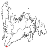
Port aux Basques
Wappen Karte
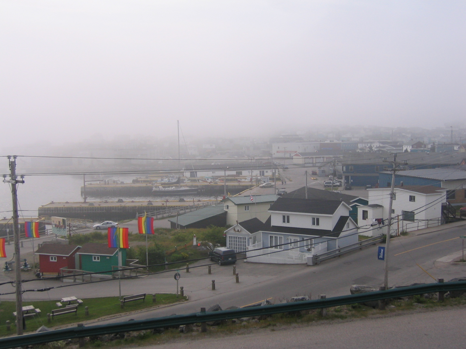
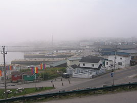
Port aux Basques bei landesüblichem Nebel

Port aux Basques (auch Channel-Port aux Basques) ist eine Stadt an der Südwestspitze Neufundlands, am östlichen Ende der Cabotstraße. Die Stadt wurde 1945 gegründet und hatte im Jahr 2001 4.637 Einwohner. Port aux Basques liegt am Trans-Canada Highway, der die kanadische Westküste mit der Atlantikküste verbindet.

Port aux Basques ist Anlegestelle für Fähren aus North Sydney (Nova Scotia). 90% des Fähraufkommens Neufundlands läuft über diesen Hafen.

Geschichte

Der Ort bekam seinen Namen von baskischen Walfängern, die im 17. Jahrhundert in der Bucht Station machten und Proviant aufnahmen.

Das 1856 unter Wasser verlegte Telegraphenkabel von der Kap-Breton-Insel nach Neufundland, welches den Anfang des ersten transatlantischen Kabels darstellte, kam nahe Port aux Basques an Land.

1893 wurde entschieden, die neufundländische Eisenbahn von der Avalon Halbinsel bis nach Port aux Basques zu verlängern. Der Bau wurde 1897 vollendet. Mitte der 1960er Jahre entstand der neufundländische Teil des Trans-Canada Highway. Die Straße verläuft entlang der Eisenbahnroute. Der Zugverkehr wurde aufgrund der Konkurrenz durch den Highway im Jahr 1988 eingestellt.

Die bisher schwerste Schiffskatastrophe der Region ereignete sich am 14. Oktober 1942, als in der Cabotstraße vor Channel Head die Passagierfähre Caribou ohne Vorwarnung von einem deutschen U-Boot torpediert wurde und innerhalb von fünf Minuten sank. 136 Passagiere und Besatzungsmitglieder kamen ums Leben.

Weblinks

47.566388888889-59.1497222222227Koordinaten: 47° 34′ N, 59° 9′ W


Wikimedia Foundation.

Игры ⚽ Нужен реферат?

Schlagen Sie auch in anderen Wörterbüchern nach:

  • Channel-Port Aux Basques — Port aux Basques Pour les articles homonymes, voir Basque (homonymie). Port aux Basques Port aux Basques, Octobre 2005 …   Wikipédia en Français

  • Channel-Port aux Basques — Original name in latin Channel Port aux Basques Name in other language State code CA Continent/City America/St Johns longitude 47.57021 latitude 59.13674 altitude 10 Population 4220 Date 2009 07 07 …   Cities with a population over 1000 database

  • Channel-Port aux Basques, Newfoundland and Labrador — Infobox Settlement official name = Channel Port aux Basques other name = native name = nickname = settlement type = Town motto = imagesize = image caption = The Channel Port aux Basques waterfront in October 2005. flag size = image seal size =… …   Wikipedia

  • Channel–Port aux Basques — ▪ Newfoundland, Canada       town on the southwestern tip of Newfoundland, Newfoundland and Labrador, Canada. It is the terminal for car ferries across Cabot Strait from North Sydney, Nova Scotia, and is the connecting point for the 570 mile (917 …   Universalium

  • Port aux Basques — bei Nebel Lage in Neufundland und Labrador …   Deutsch Wikipedia

  • Port-aux-basques — Pour les articles homonymes, voir Basque (homonymie). Port aux Basques Port aux Basques, Octobre 2005 …   Wikipédia en Français

  • Port-aux-Basques — Pour les articles homonymes, voir Basque (homonymie). Port aux Basques Port aux Basques, Octobre 2005 Administration …   Wikipédia en Français

  • Hotel Port Aux Basques — (Channel Port aux Basques,Канада) Категория отеля: 3 звездочный отель Адрес …   Каталог отелей

  • Channel — Channel, Channels, and similar terms may refer to: Channels (band), a rock band fronted by ex Jawbox singer/guitarist J. Robbins Channels (film), a 2008 film Channel, synonym for pre chorus in popular song structure Ion channel, a protein that… …   Wikipedia

  • Port au Port Peninsula — The Port au Port Peninsula is a peninsula in the Canadian province of Newfoundland and Labrador. Roughly triangular in shape, it is located on the west coast of the island of Newfoundland.GeographyThe peninsula extends into the Gulf of St.… …   Wikipedia

Share the article and excerpts

Direct link
Do a right-click on the link above
and select “Copy Link”