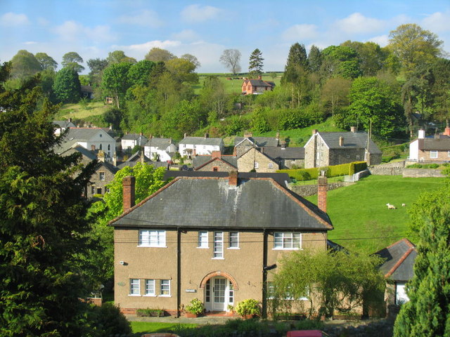
- Llanrhaeadr-ym-Mochnant
-
Llanrhaeadr-ym-Mochnant Llanrhaeadr-ym-Mochnant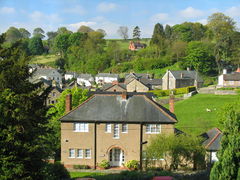
Koordinaten 52° 50′ N, 3° 18′ W52.83-3.3Koordinaten: 52° 50′ N, 3° 18′ W 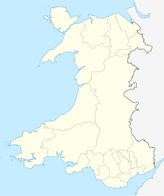

Llanrhaeadr-ym-Mochnant Bevölkerung 1.470 Verwaltung Post town OSWESTRY Postleitzahlenabschnitt SY10 Vorwahl 01691 Landesteil Wales Preserved County Powys Unitary authority Powys Britisches Parlament Montgomeryshire Llanrhaeadr-ym-Mochnant ist ein walisisches Dorf in der Unitary Authority Powys mit 1.470 Einwohnern, die zu 65 % die Walisische Sprache sprechen.
Llanrhaeadr-ym-Mochnant befindet sich auf der Grenze zwischen Nord- und Mittelwales. Es ist bekannt dafür, im 16. Jahrhundert die Pfarrei von William Morgan gewesen zu sein, der die Bibel ins Walisische übersetzte und später Bischof in der Llandaff Cathedral und St Asaph wurde.
Sehenswürdigkeiten
Eine 7 km lange Allee, von Ebereschen gesäumt, führt zum 73 m tiefen Pistyll-Rhaeadr−Wasserfall, der als eines der „Sieben Wunder von Wales” gilt. Die Berwyn Mountains und der Lake Vyrnwy befinden sich unweit des Dorfes.
Drehort
Aufgrund seines ursprünglichen dörflichen Charakters wurde im Jahr 1995 in Llanrhaeadr-ym-Mochnant ein Großteil der während des Ersten Weltkrieges spielenden britischen Komödie „Der Engländer, der auf einen Hügel stieg und von einem Berg herunterkam“ mit Hugh Grant in der Hauptrolle gedreht.
Weblinks

Wikimedia Foundation.