Loch Drunkie

Loch Drunkie
Loch Drunkie
Loch Drunkie - geograph.org.uk - 72992.jpg
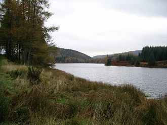
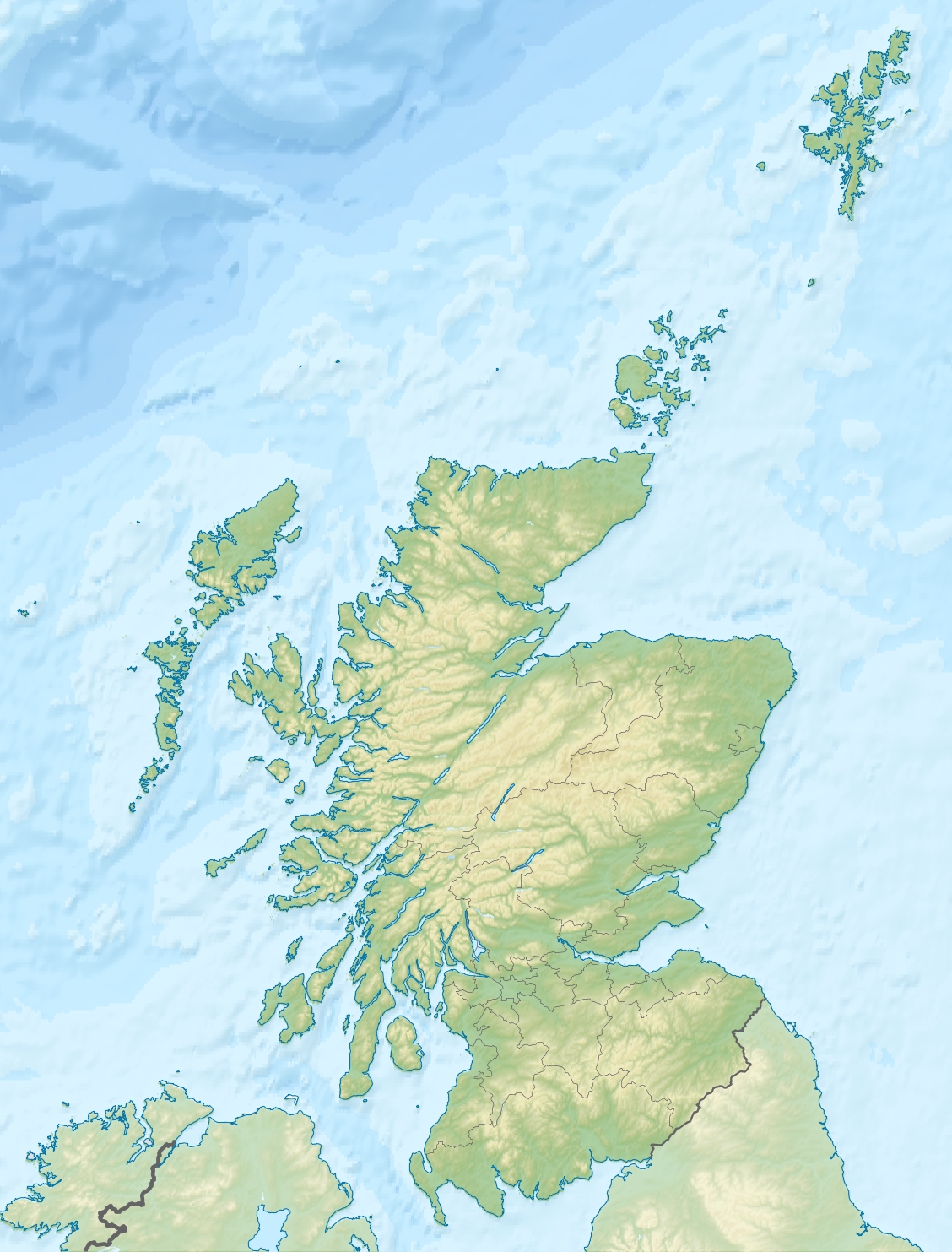
Geographische Lage Loch Lomond and the Trossachs National Park, Schottland
Abfluss Drunkie Burn → Cos Burn → Loch Venachar
Daten
Koordinaten 56° 12′ 32″ N, 4° 21′ 6″ W56.2088332-4.3517654Koordinaten: 56° 12′ 32″ N, 4° 21′ 6″ W
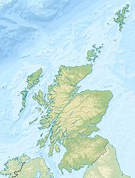
Loch Drunkie (Schottland)
Loch Drunkie
Länge 2,3 kmf6
Breite 500 mf7

Loch Drunkie (schottisch-gälisch: Loch Drongaidh) ist ein kleiner Süßwassersee am Südrand der schottischen Highlands in der Council Area Stirling. Er liegt nur 400 m südwestlich von Loch Venachar und circa 9 km westlich von Callander im Loch Lomond and the Trossachs National Park.

Loch Drunkie ist etwa 2,3 km lang und maximal 500 m breit. Der See wird von keiner Straße erschlossen ist aber im Sommer über einen straßenähnlich ausgebauten gebührenpflichtigen Waldweg zu erreichen. Ortschaften oder Ansiedlungen am Ufer existieren keine. Der See, in dem vor allem Seeforellen gefangen werden können, ist bei Anglern sehr beliebt. Das fast vollständig bewaldete Gelände um den See wird regelmäßig von Wanderern und Mountain-Bikern bevölkert.

Weblinks

Loch Drunkie vom Duke's Pass fotografiert

Wikimedia Foundation.

Игры ⚽ Нужно сделать НИР?

Schlagen Sie auch in anderen Wörterbüchern nach:

  • Loch Drunkie — Loch Drongaidh / Loch Drunkie vue Duke s Pass Administration Pays …   Wikipédia en Français

  • Loch Drunkie — Infobox lake lake name = Loch Drunkie image lake = Loch Drongaidh Loch Drunkie.jpg caption lake = Loch Drunkie from Duke s Pass image bathymetry = caption bathymetry = location = Stirling, Scotland coords = Coord|56|12|35|N|4|21|15|W|region:GB… …   Wikipedia

  • Loch Lomond and the Trossachs National Park — DMS …   Deutsch Wikipedia

  • Loch-Lomond-and-the-Trossachs-Nationalpark — Loch Lomond Ansicht vom „West Highland Way“ …   Deutsch Wikipedia

  • Loch Lomond and the Trossachs National Park — Infobox protected area | name = Loch Lomond and The Trossachs National Park iucn category = II caption = Looking eastwards along Loch Katrine in the Loch Lomond and the Trossachs National Park locator x = locator y = location = Scotland, Argyll… …   Wikipedia

  • Liste schottischer Lochs — Loch ist das schottisch gälische Wort für einen See oder eine Meeresbucht, einen Fjord (englisch Firth). Das Wort, lɔx, «loch» mit kehligem «ch» ausgesprochen, ist verwandt mit dem altirischen Lough, rekonstruierte indogermanische Wurzel… …   Deutsch Wikipedia

  • Liste des lochs d'Écosse — Ce qui suit est une liste des lochs d Écosse. Cette liste est loin d être exhaustive: seuls les plus connus sont répertoriés. Il a été estimé qu il y a au moins 31 460 lacs d eau douce en Écosse, et plus de 7 500 dans les Hébrides extérieures… …   Wikipédia en Français

  • Ruskie —    RUSKIE, a hamlet, in the parish of Port of Monteith, county of Perth, 3 miles (N. E.) from the village of Port of Monteith; containing 57 inhabitants. It lies in the north east quarter of the parish, in the vicinity of a lake of the same name …   A Topographical dictionary of Scotland

  • Port Of Monteith —    PORT OF MONTEITH, a parish, in the county of Perth, 9½ miles (W.) from Doune; containing, with the villages of Gartmore, Ruskie, and Tomachar, 1446 inhabitants. This place, which is of considerable antiquity, appears to have derived its… …   A Topographical dictionary of Scotland

Share the article and excerpts

Direct link
Do a right-click on the link above
and select “Copy Link”