- Monti Picentini
-
Monti Picentini 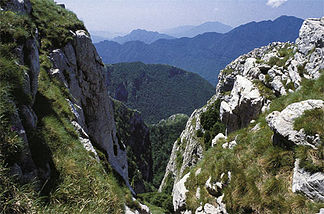
Monte Picentini
Höhe 1.809 m s.l.m. Lage Italien, Provinz Salerno Gebirge Südlicher Sub-Apennin Geographische Lage 40° 45′ 0″ N, 15° 0′ 0″ O40.75151809Koordinaten: 40° 45′ 0″ N, 15° 0′ 0″ O 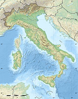

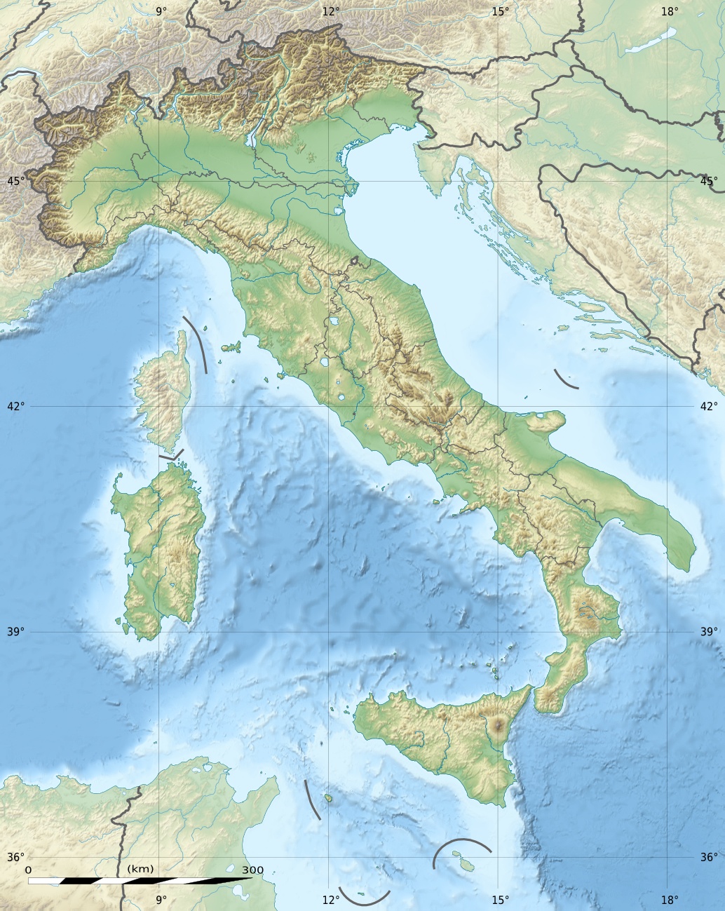
Normalweg Wanderweg /Straße Die Monti Picentini sind ein Gebirgszug im kampanischen Apennin in den Provinzen Avellino und Salerno in der Region Kampanien.
Geographie
Er liegt nahe dem Tyrrhenischen Meer zwischen den Bergen Monti Lattari, Monte Partenio (Montevergine), dem Irpinia-Tal und dem Tal des Flusses Sele. Die höchsten Gipfel sind der Monte Cervialto (1809 m) und Monte Polveracchio (1790 m) im Osten, sowie der Monte Terminio (1786 m) im Westen. Die Berge werden von den Ortschaften Calabritto Acerno, Campagna, Montella, Volturara Irpina, Serino, Bagnoli Irpino. Giffoni Valle Piana, Caposele und Senerchia umschlossen.
Erreichbarkeit
Die Gipfel der Monti Picentini sind teilweise mit einer ausgebauten Straße, teilweise mit Wanderwegen erschlossen.
Name des Berges Höhe (Meter s.l.m.) Anliegende Kommunen Cervialto 1.809 Calabritto Polveracchio 1.790 Acerno, Campagna, Senerchia, Calabritto Terminio 1.786 Montella, Volturara Irpina, Serino Raiamagra 1.667 Bagnoli Irpino Accellica 1.660 Acerno, Giffoni Valle Piana, Montella Cervarulo 1.625 Calabritto Calvello 1.580 Caposele, Calabritto Boschetiello 1.575 Senerchia, Calabritto Kategorien:- Eintausender
- Berg im Apennin
- Berg in Europa
- Berg in Kampanien

Wikimedia Foundation.